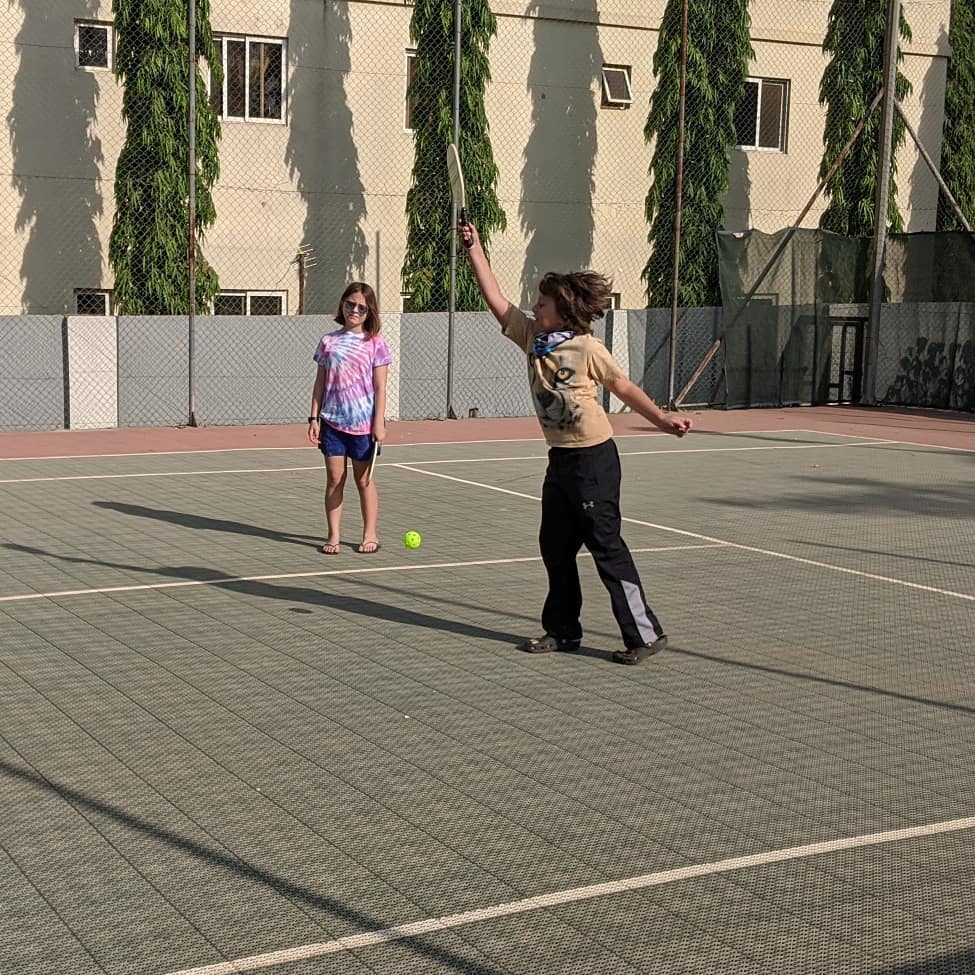
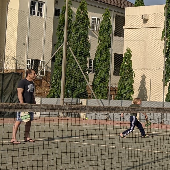
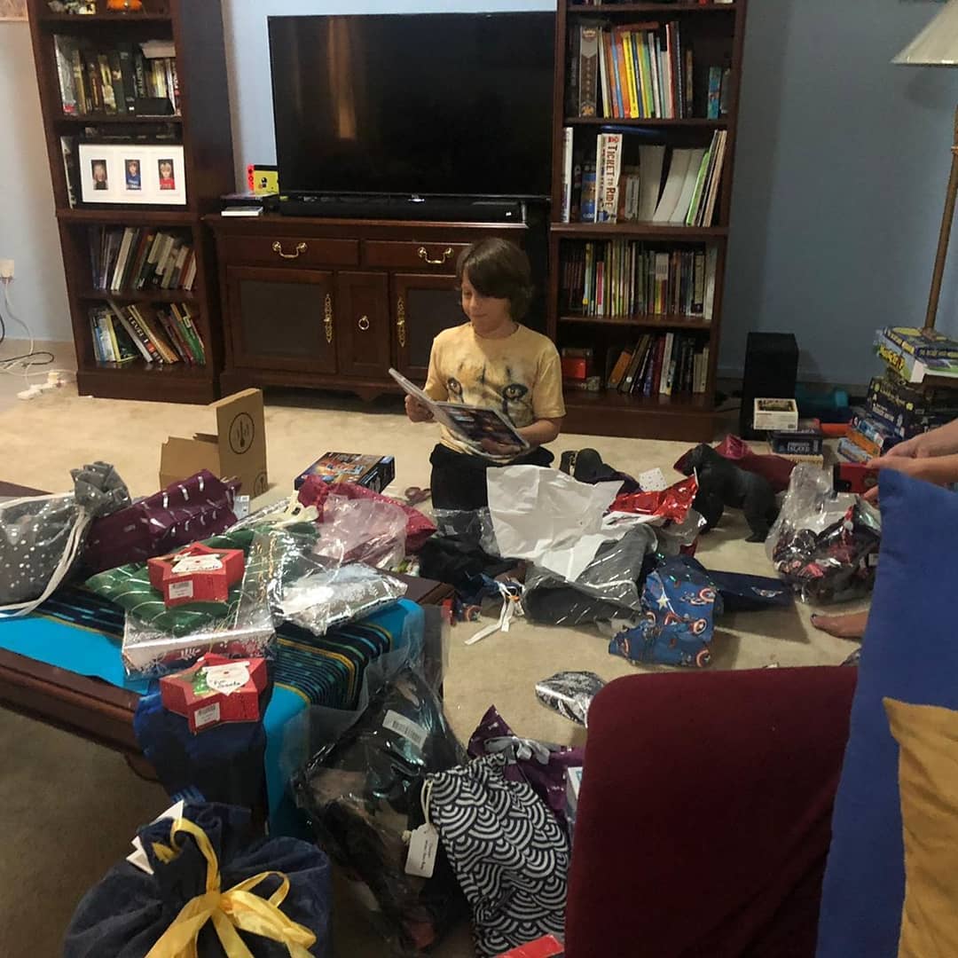
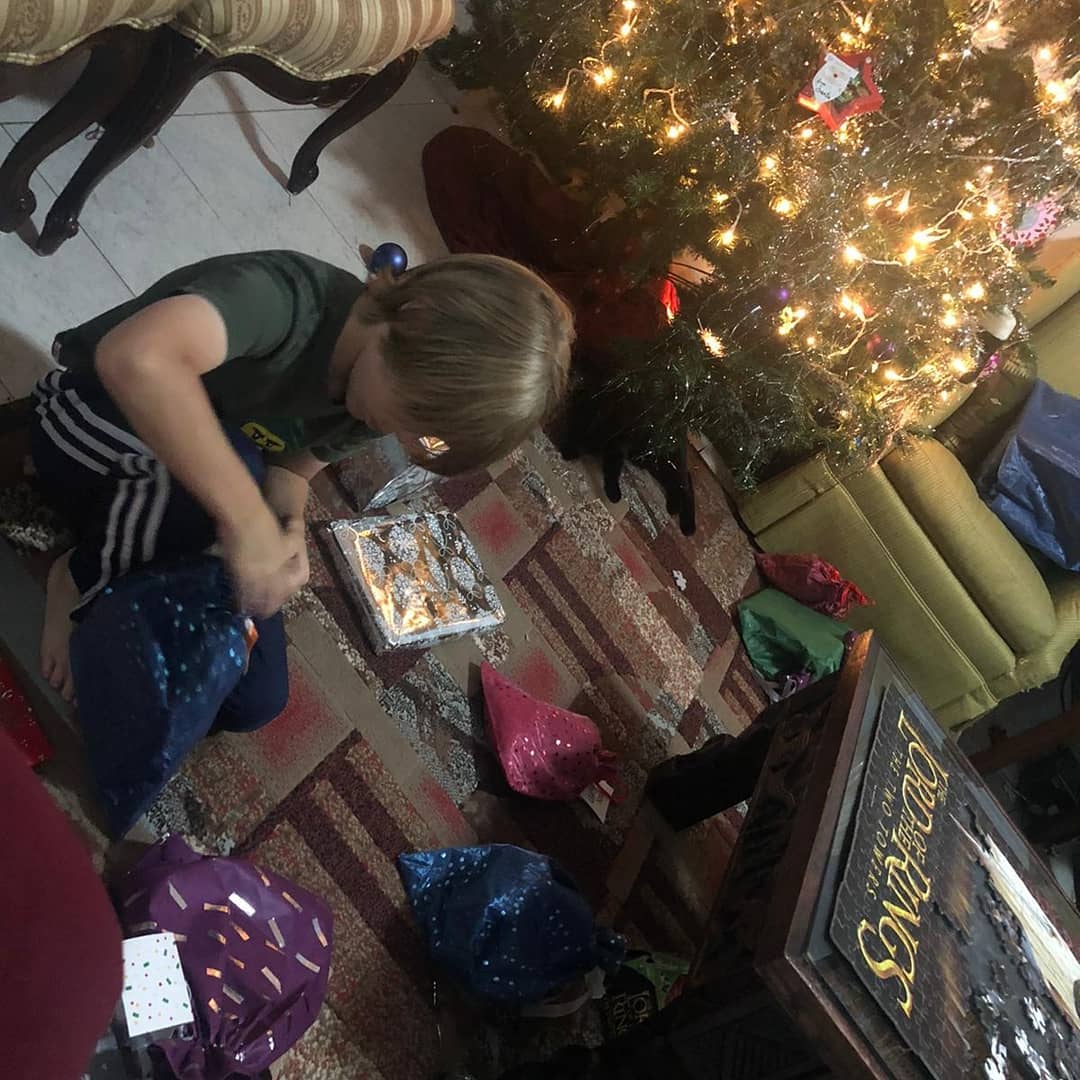
Morning stocking stuffers, some pickleball, presents, and Xmas dinner
📍 Abuja, Nigeria, Abuja, Nigeria · map


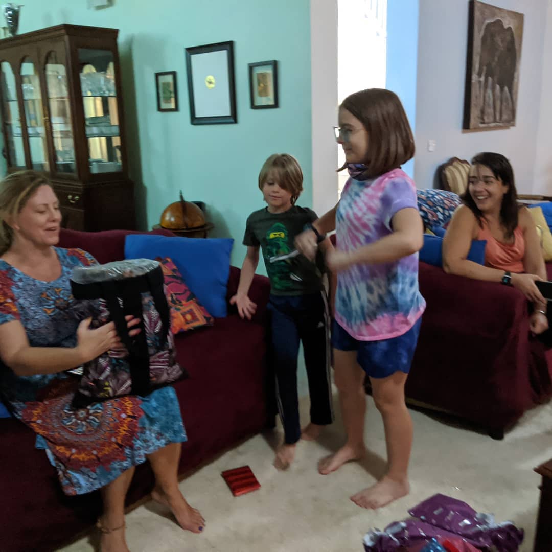
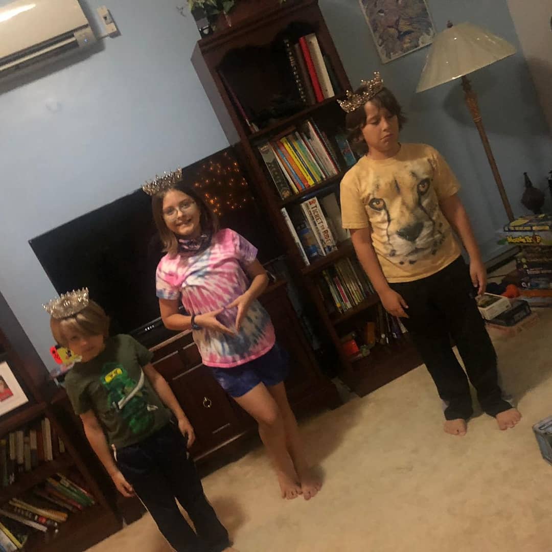
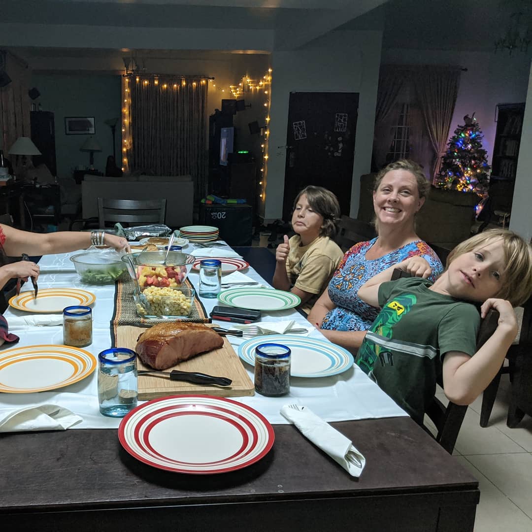
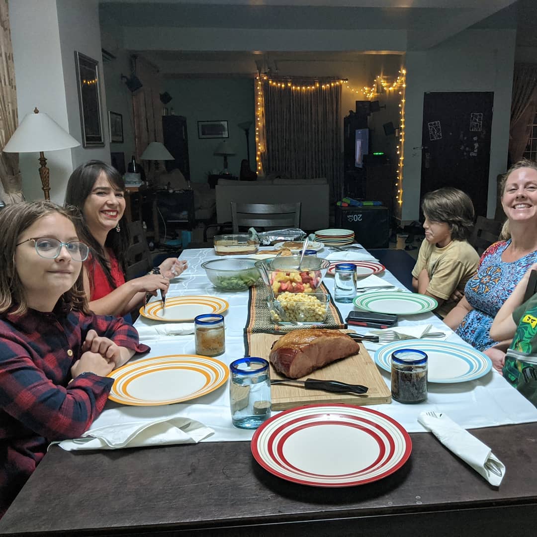
Morning stocking stuffers, some pickleball, presents, and Xmas dinner
📍 Abuja, Nigeria, Abuja, Nigeria · map
Xmas Eve Abuja.
📍 Abuja, Nigeria, Abuja is the capital city of Nigeria located in the centre of the country within the Federal Capital Territory (FCT). It is a planned city and was built mainly in the 1980s, replacing the country's most populous city of Lagos as the capital on 12 December 1991. Abuja's geography is defined by Aso Rock, a 400m monolith left by water erosion. The Presidential Complex, National Assembly, Supreme Court and much of the city extend to the south of the rock. Zuma Rock, a 792m monolith, lies just north of the city on the road to Kaduna State.At the 2006 census, the city of Abuja had a population of 776,298, making it one of the ten most populous cities in Nigeria. According to the United Nations, Abuja grew by 139.7% between 2000 and 2010, making it the fastest growing city in the world., the city is still experiencing an annual growth of at least 35%, still retaining its position as the fastest-growing city on the African continent and one of the fastest-growing in the world. Abuja has witnessed a huge influx of people into the city; the growth has led to the emergence of satellite towns, such as Karu Urban Area, Suleja, Gwagwalada, Lugbe, Kuje and smaller settlements towards which the planned city is sprawling. The unofficial metropolitan area of Abuja has a population of well over three million, making it the fourth largest metropolitan area in Nigeria, surpassed only by Lagos, Kano and Ibadan. As at 2016, the metropolitan area of Abuja is estimated at 6 million persons, placing it behind only Lagos, as the most populous metro area. · map
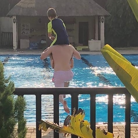
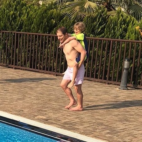

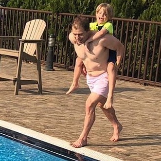
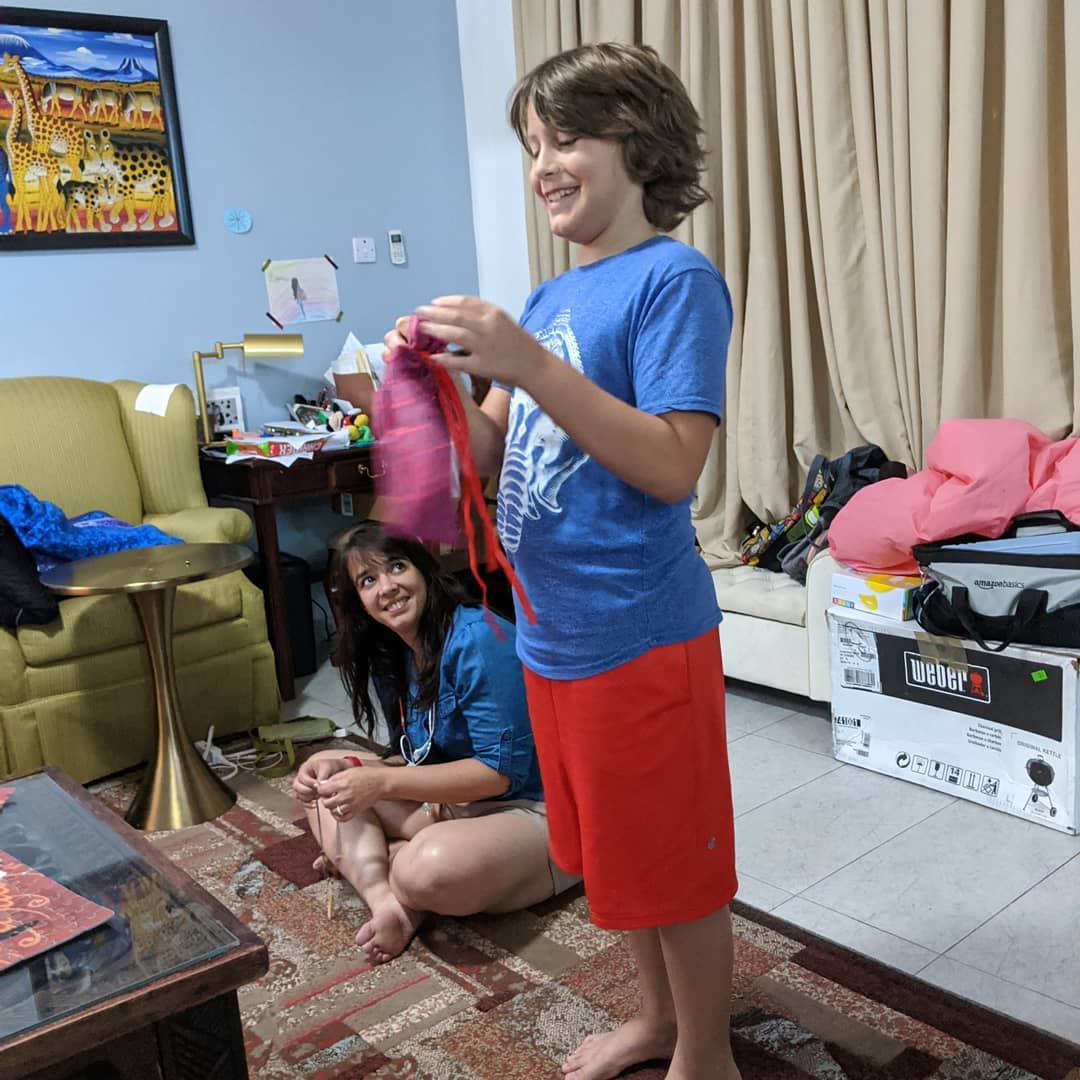
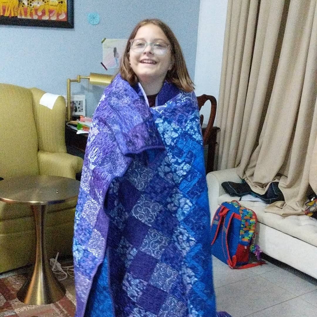
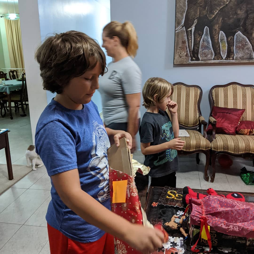
We always spread Xmas out a little. Started with the first night today. Kids very excited of course.
📍 Abuja, Nigeria, Abuja, Nigeria · map
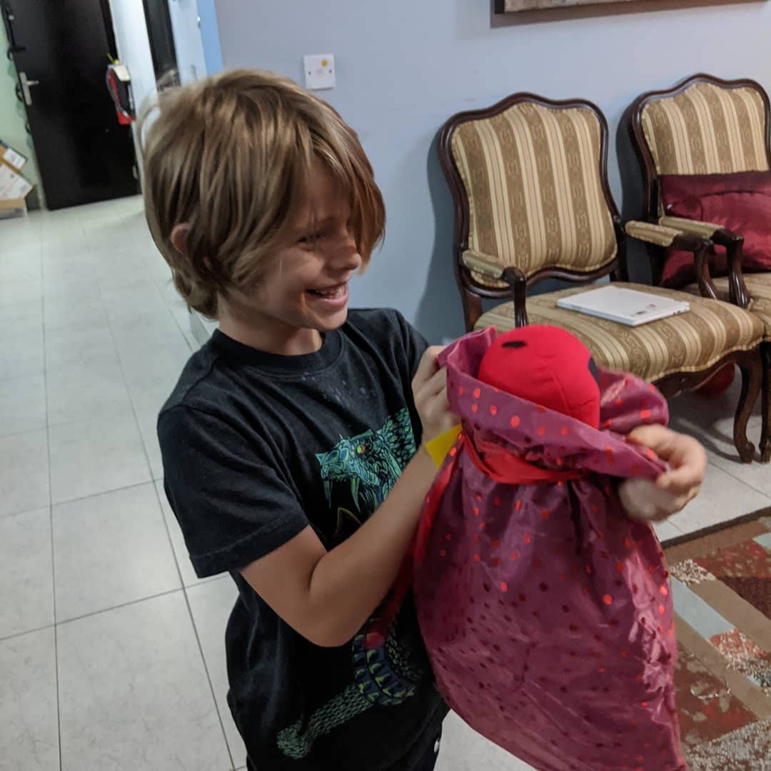



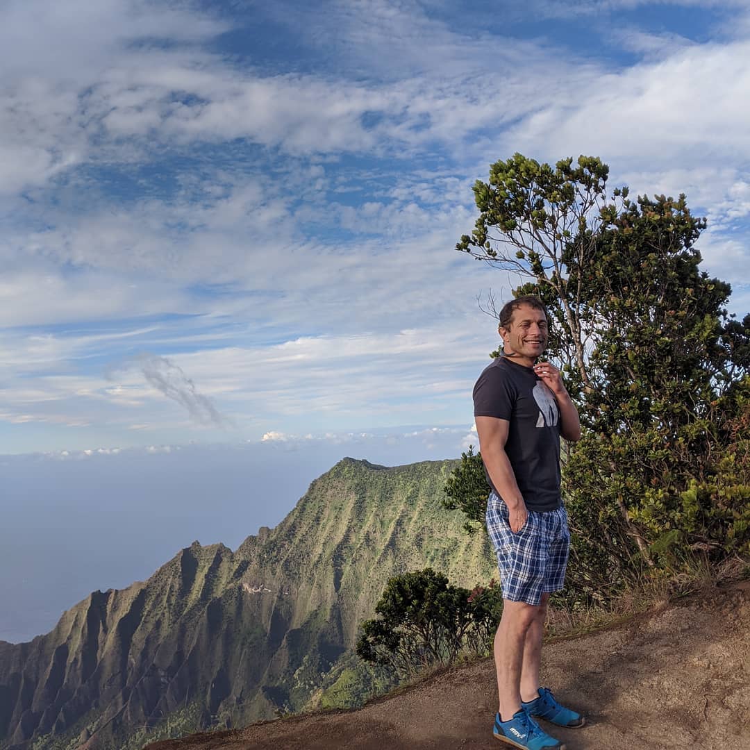
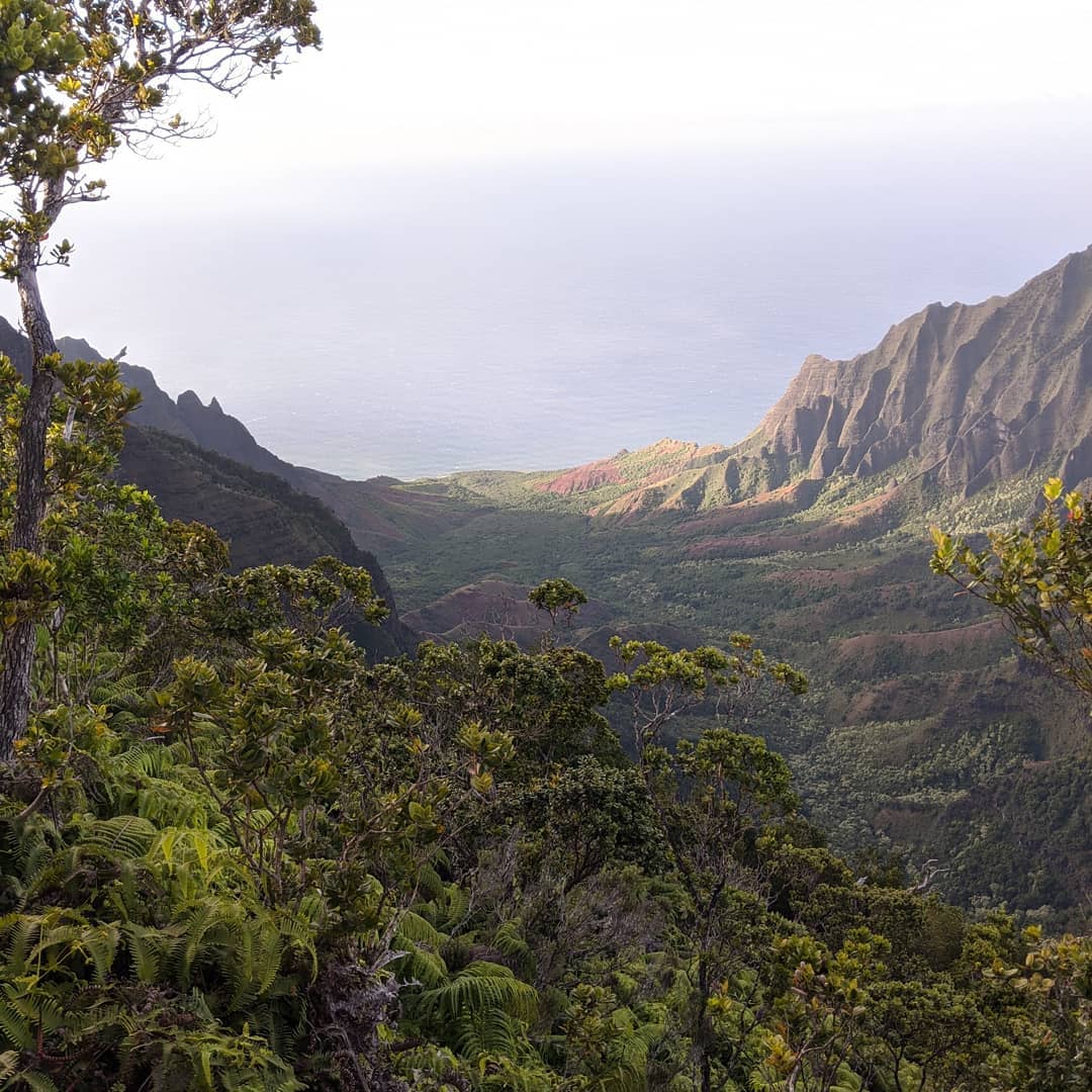
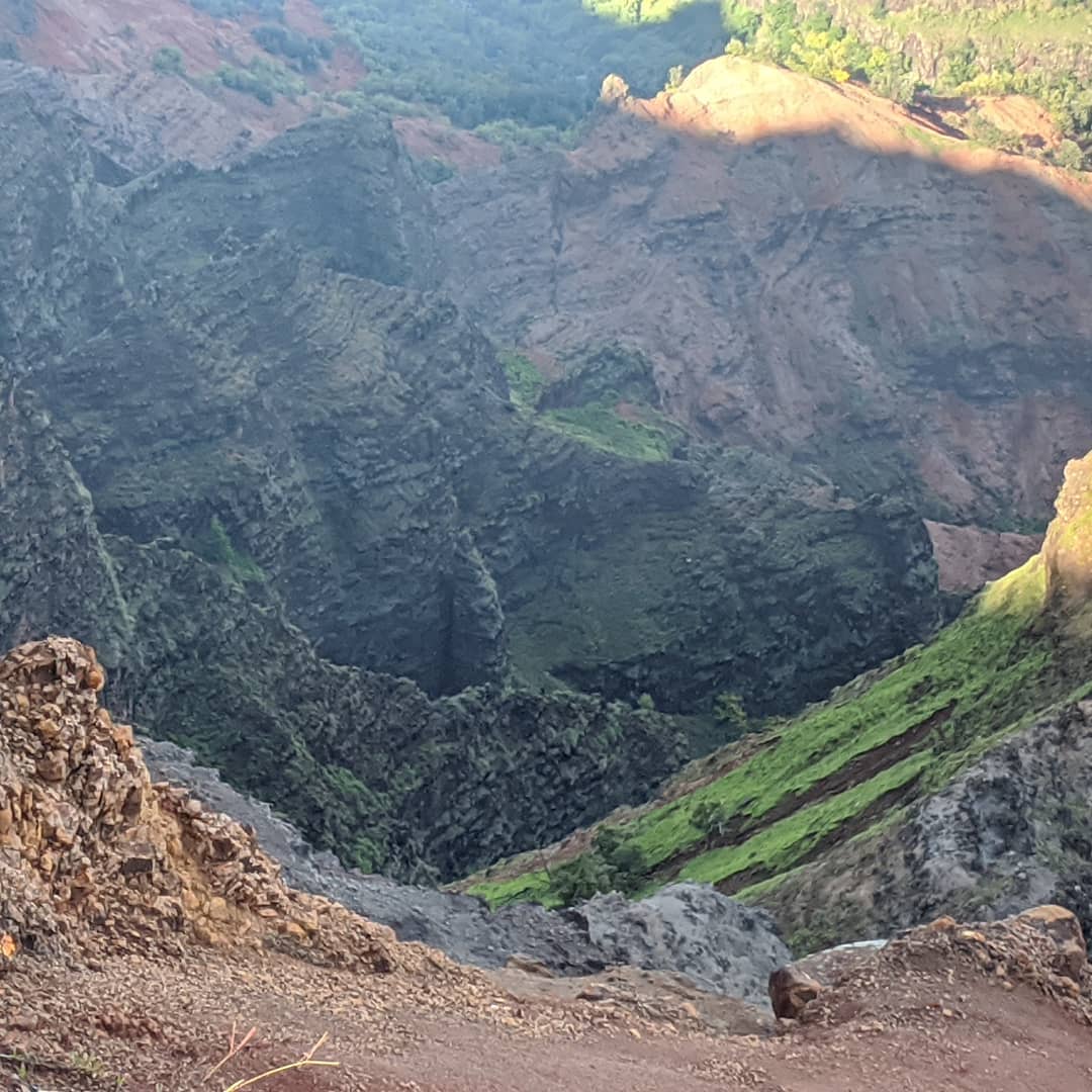
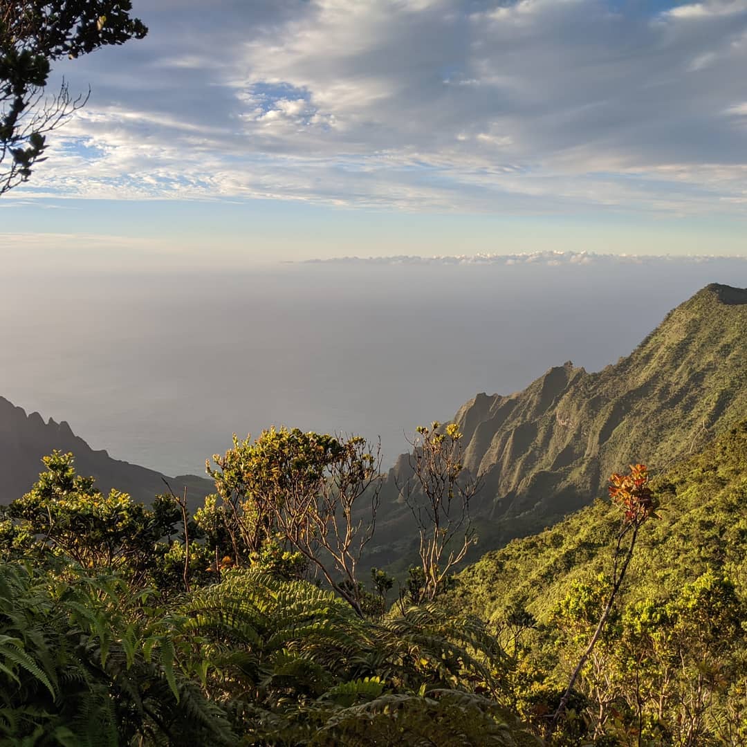
Out and about on Kauai yesterday
📍 Kauai, Kauai or Kauai is geologically the oldest of the main Hawaiian Islands. With an area of 562.3sqmi, it is the fourth largest of these islands and the 21st largest island in the United States. Known also as the "Garden Isle", Kauai lies 105mi across the Kauai Channel, northwest of Oahu. This island is the site of Waimea Canyon State Park.The United States Census Bureau defines Kauai as census tracts 401 through 409 of Kauai County, Hawaii, which comprises all of the county except for the islands of Ka'ula, Lehua and Niihau. The 2010 United States Census population of the island was 67,091. The most populous town was Kapaa.In 1778, Captain James Cook arrived at Waimea Bay, the first European known to have reached the Hawaiian islands. He named the archipelago after his patron the 6th Earl of Sandwich, George Montagu.During the reign of King Kamehameha, the islands of Kauai and Niihau were the last Hawaiian Islands to join his Kingdom of Hawaii. Their ruler, Kaumualii, resisted Kamehameha for years. King Kamehameha twice prepared a huge armada of ships and canoes to take the islands by force, and twice failed; once due to a storm, and once due to an epidemic. In the face of the threat of a further invasion, however, Kaumualii decided to join the kingdom without bloodshed, and became Kamehameha's vassal in 1810. He ceded the island to the Kingdom of Hawaii upon his death in 1824. · map
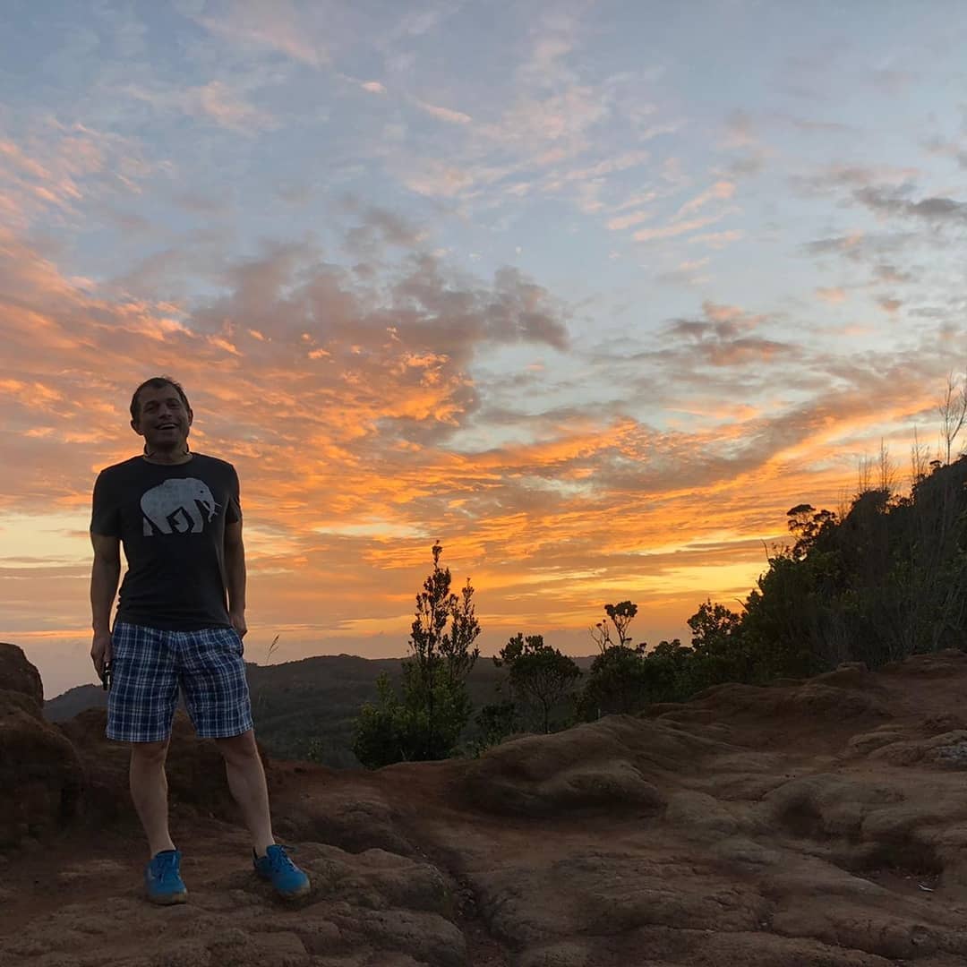
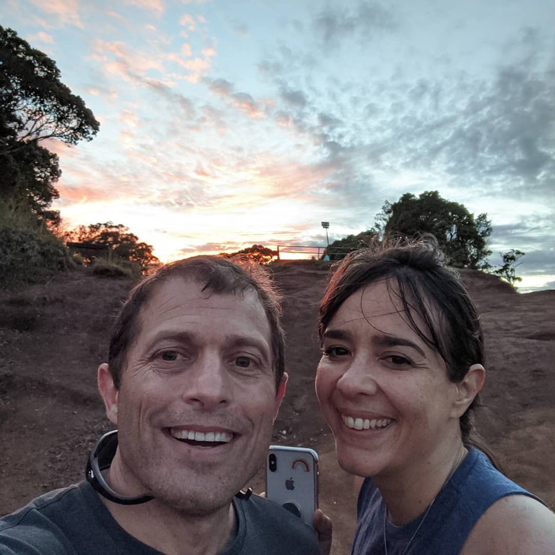
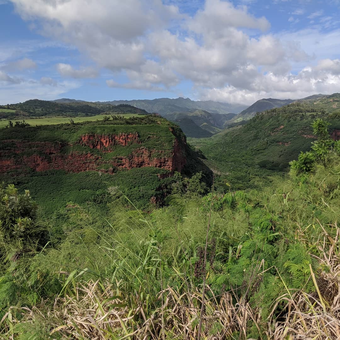
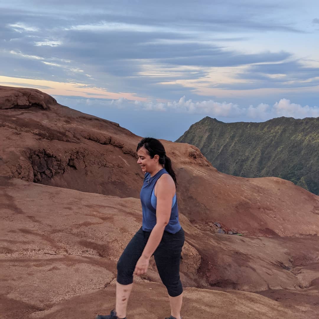
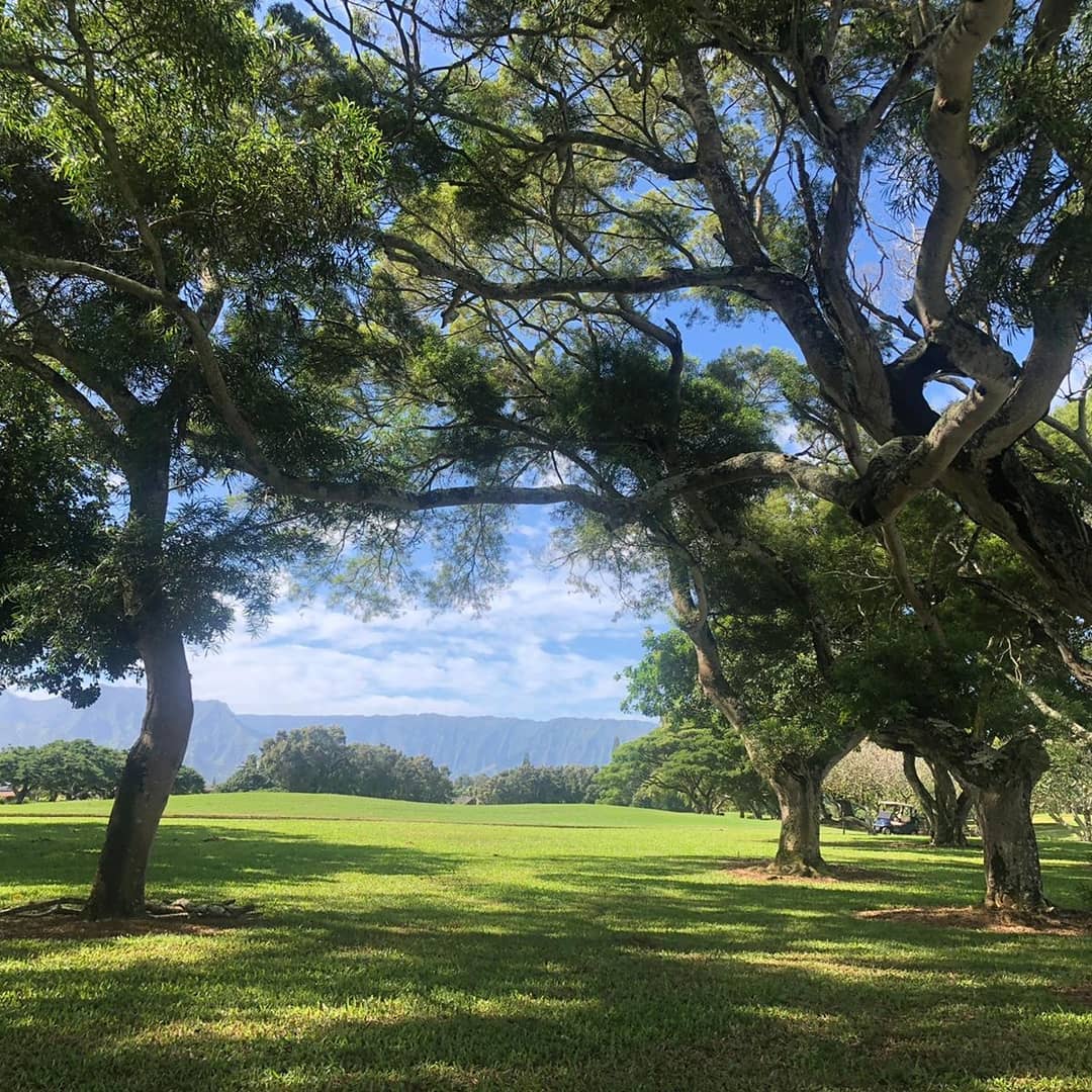
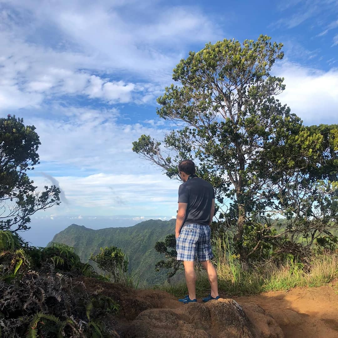
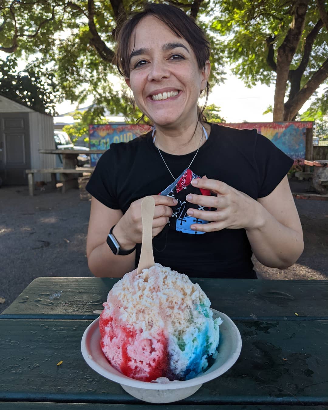
If you want a happy Claudia, buy her a shave ice!
📍 Hanalei, Hawaii, Hanalei is a census-designated place (CDP) in Kauai County, Hawaii, United States. The population was 450 at the 2010 census. Hanalei means "lei making" in Hawaiian. Alternatively, the name Hanalei also means "crescent bay" and may be indicative of the shape of Hanalei Bay.Hanalei is located at, near the mouth of the Hanalei River on the north shore of the island of Kauai.According to the United States Census Bureau, the CDP has a total area of 0.8sqmi, of which 0.6sqmi is land and 0.2sqmi is water. The total area is 20.73% water.Imperial RussiaIn the early 19th century the Imperial Russians were present here. In 1815 the German physician and agent of the Russian-American Company, Georg Anton Schäffer, came to the Hawaiian islands to retrieve goods seized by Kaumualiʻi, chief of Kauai island. On arrival he became involved with internal Hawaiian politics, and Kaumualiʻi planning and manipulating to reclaim his own kingdom of Kauai from Kamehameha I with the help of the Russian Empire. Kaumualiʻi signed a "treaty" granting Tsar Alexander I protectorate over Kauai. Briefly in 1817, Fort Elizabeth, near the Waimea River, and two other Russian forts near Hanalei were part of the tsarist Russian America. · map
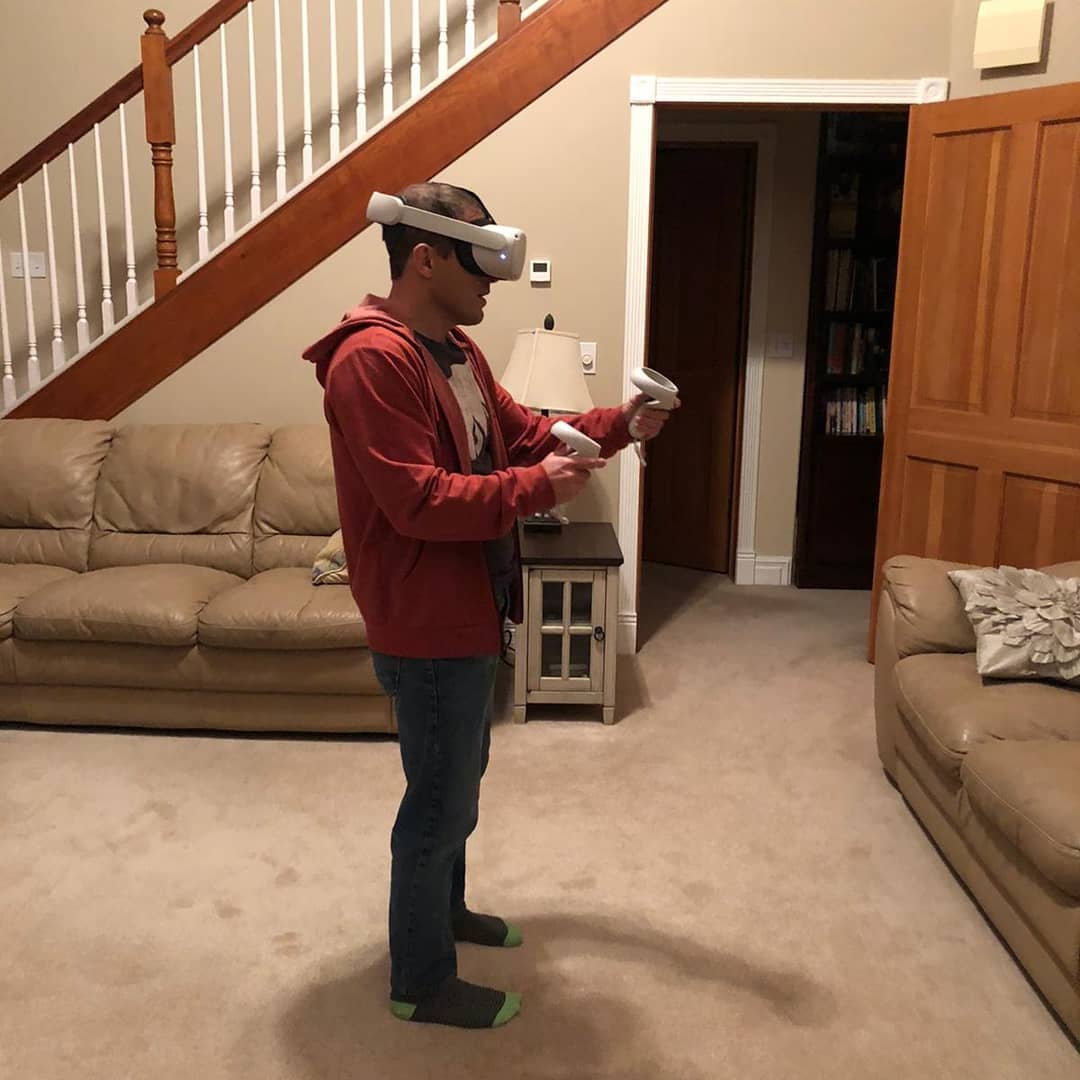
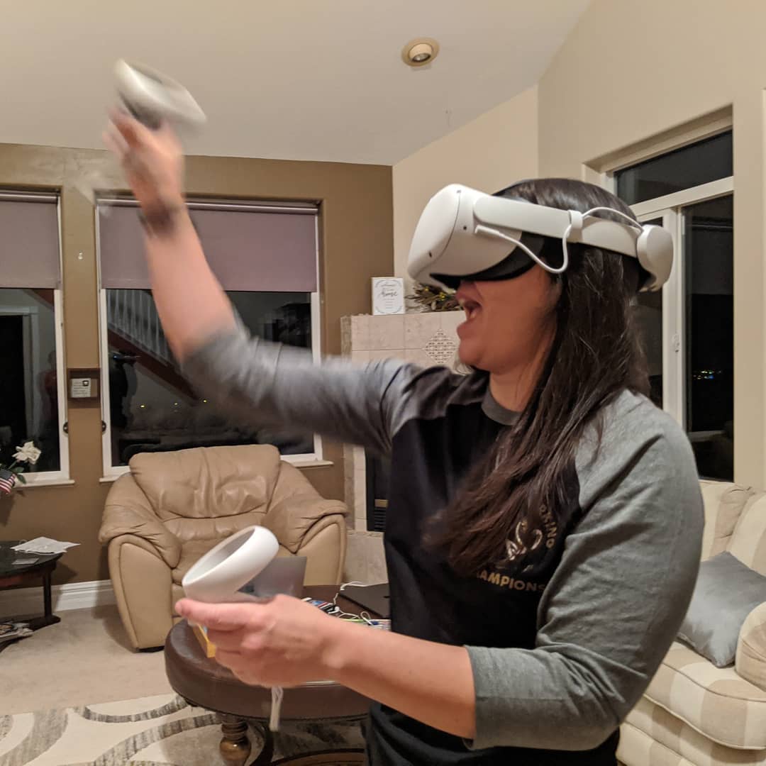
Oculus Quest 2 is pretty awesome.
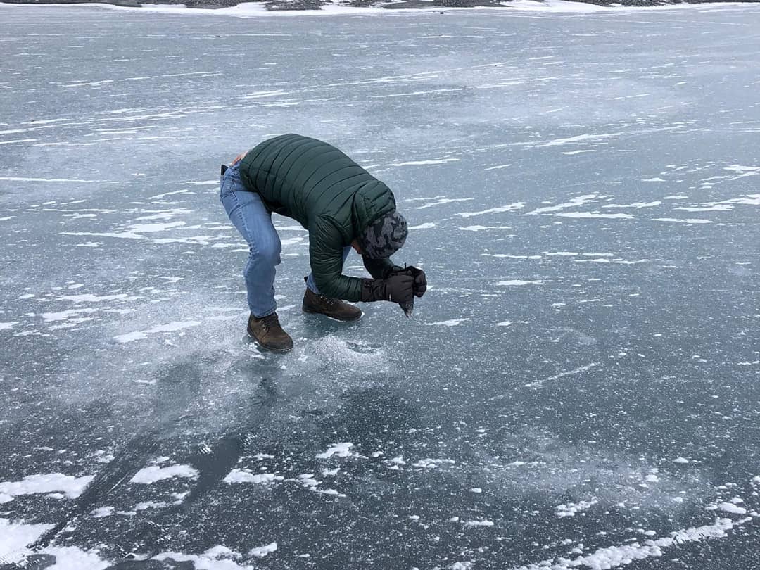
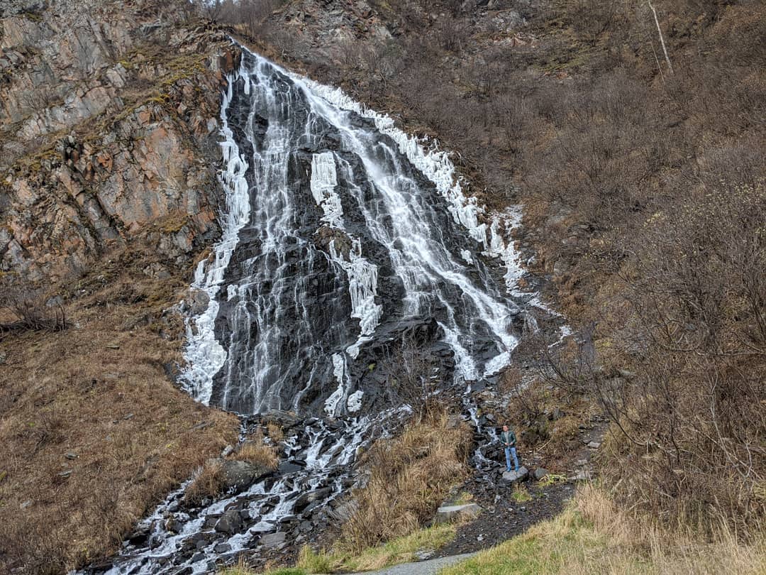
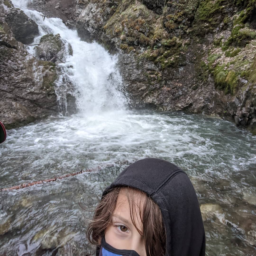
Two things you need to know: Yes, my response to being on a frozen lake is to try to break through the ice under my feet with a rock. And second, I am in the last picture of the mostly frozen waterfall.
📍 Valdez, Alaska, Valdez, is a city in Valdez-Cordova Census Area in the U.S. state of Alaska. According to the 2010 US Census, the population of the city is 3,976. The city was named in 1790 after the Spanish Navy Minister Antonio Valdés y Fernández Bazán. A former Gold Rush town, it is located at the head of a fjord on the eastern side of Prince William Sound. The port did not flourish until after the road link to Fairbanks was constructed in 1899. It suffered huge damage during the 1964 Alaska earthquake, and is located near the site of the disastrous 1989 Exxon Valdez oil tanker spill. Today it is one of the most important ports in Alaska, a commercial fishing port as well as a freight terminal.The port of Valdez was named in 1790 by the Spanish explorer Salvador Fidalgo after the Spanish naval officer Antonio Valdés y Fernández Bazán. A scam to lure prospectors off the Klondike Gold Rush trail led to a town being developed there in 1898. Some steamship companies promoted the Valdez Glacier Trail as a better route for miners to reach the Klondike gold fields and discover new ones in the Copper River country of interior Alaska than that from Skagway. The prospectors who believed the promotion found that they had been deceived. The glacier trail was twice as long and steep as reported, and many men died attempting the crossing, in part by contracting scurvy during the long cold winter without adequate supplies. The town did not flourish until after the construction of the Richardson Highway in 1899, which connected Valdez and Fairbanks. With a new road and its ice-free port, Valdez became permanently established as the first overland supply route into the interior of Alaska. The highway was open in summer-only until 1950, when it was operated as a year-round route. · map
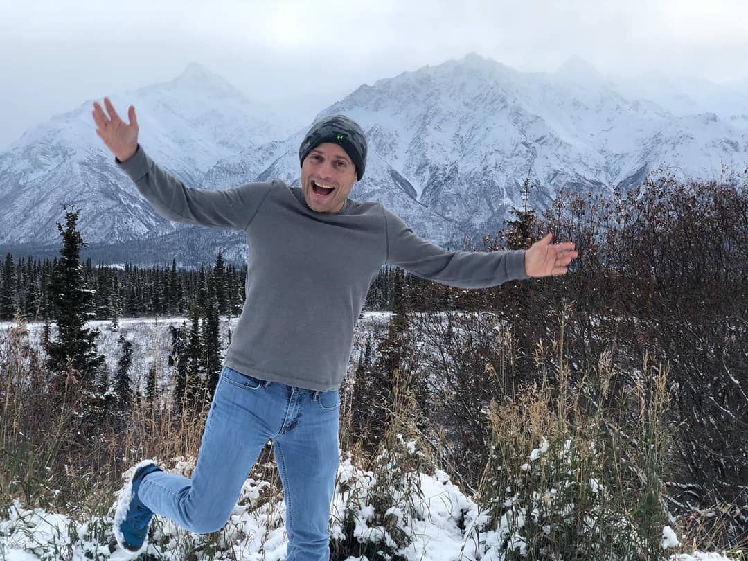
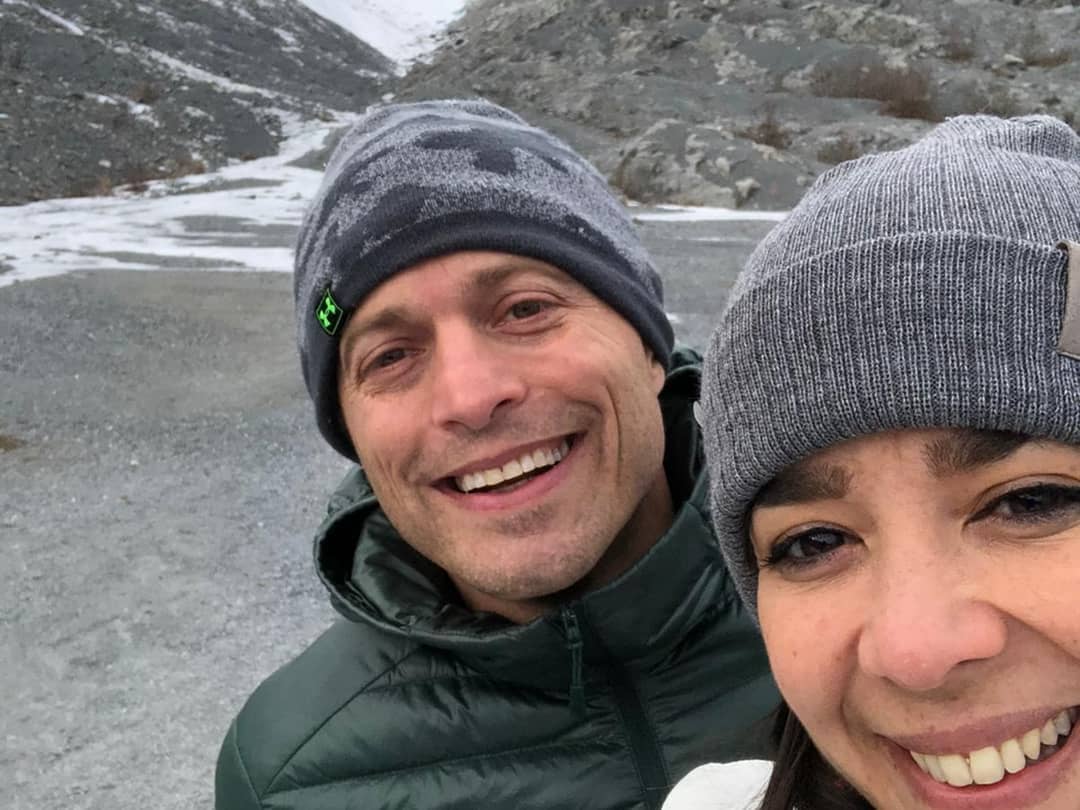
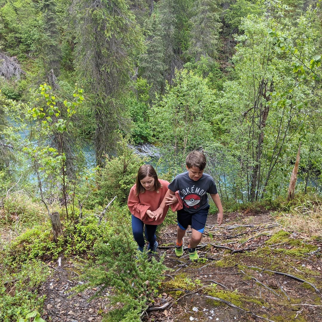
More hiking
📍 Valdez, Alaska, Valdez, is a city in Valdez-Cordova Census Area in the U.S. state of Alaska. According to the 2010 US Census, the population of the city is 3,976. The city was named in 1790 after the Spanish Navy Minister Antonio Valdés y Fernández Bazán. A former Gold Rush town, it is located at the head of a fjord on the eastern side of Prince William Sound. The port did not flourish until after the road link to Fairbanks was constructed in 1899. It suffered huge damage during the 1964 Alaska earthquake, and is located near the site of the disastrous 1989 Exxon Valdez oil tanker spill. Today it is one of the most important ports in Alaska, a commercial fishing port as well as a freight terminal.The port of Valdez was named in 1790 by the Spanish explorer Salvador Fidalgo after the Spanish naval officer Antonio Valdés y Fernández Bazán. A scam to lure prospectors off the Klondike Gold Rush trail led to a town being developed there in 1898. Some steamship companies promoted the Valdez Glacier Trail as a better route for miners to reach the Klondike gold fields and discover new ones in the Copper River country of interior Alaska than that from Skagway. The prospectors who believed the promotion found that they had been deceived. The glacier trail was twice as long and steep as reported, and many men died attempting the crossing, in part by contracting scurvy during the long cold winter without adequate supplies. The town did not flourish until after the construction of the Richardson Highway in 1899, which connected Valdez and Fairbanks. With a new road and its ice-free port, Valdez became permanently established as the first overland supply route into the interior of Alaska. The highway was open in summer-only until 1950, when it was operated as a year-round route. · map
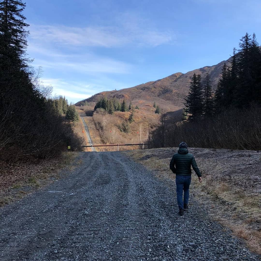
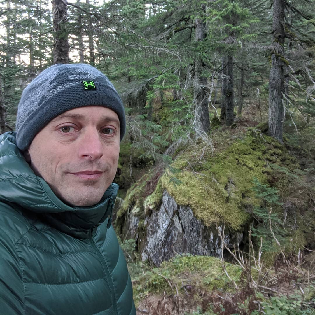
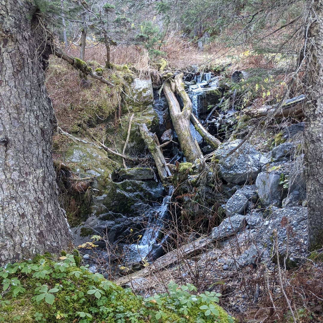
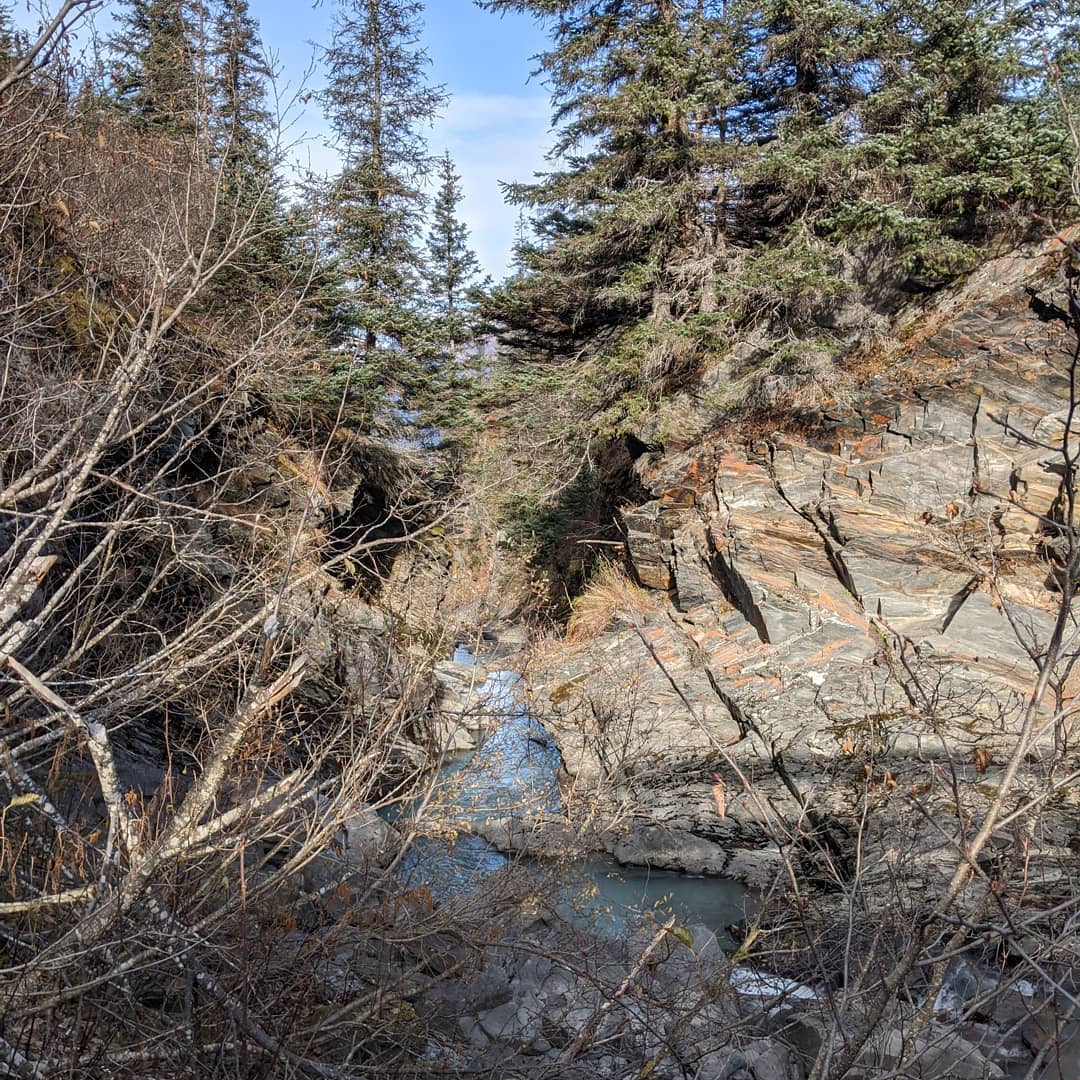
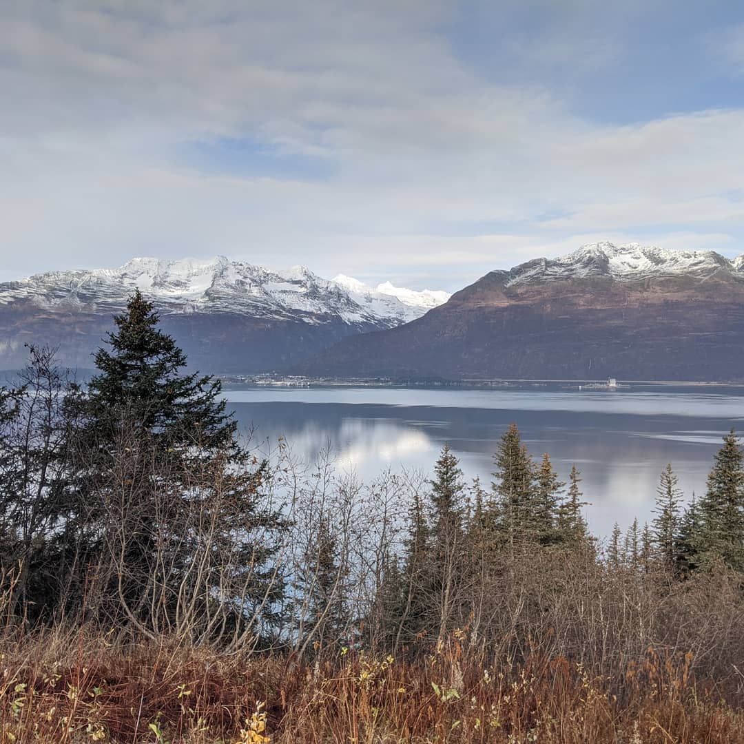

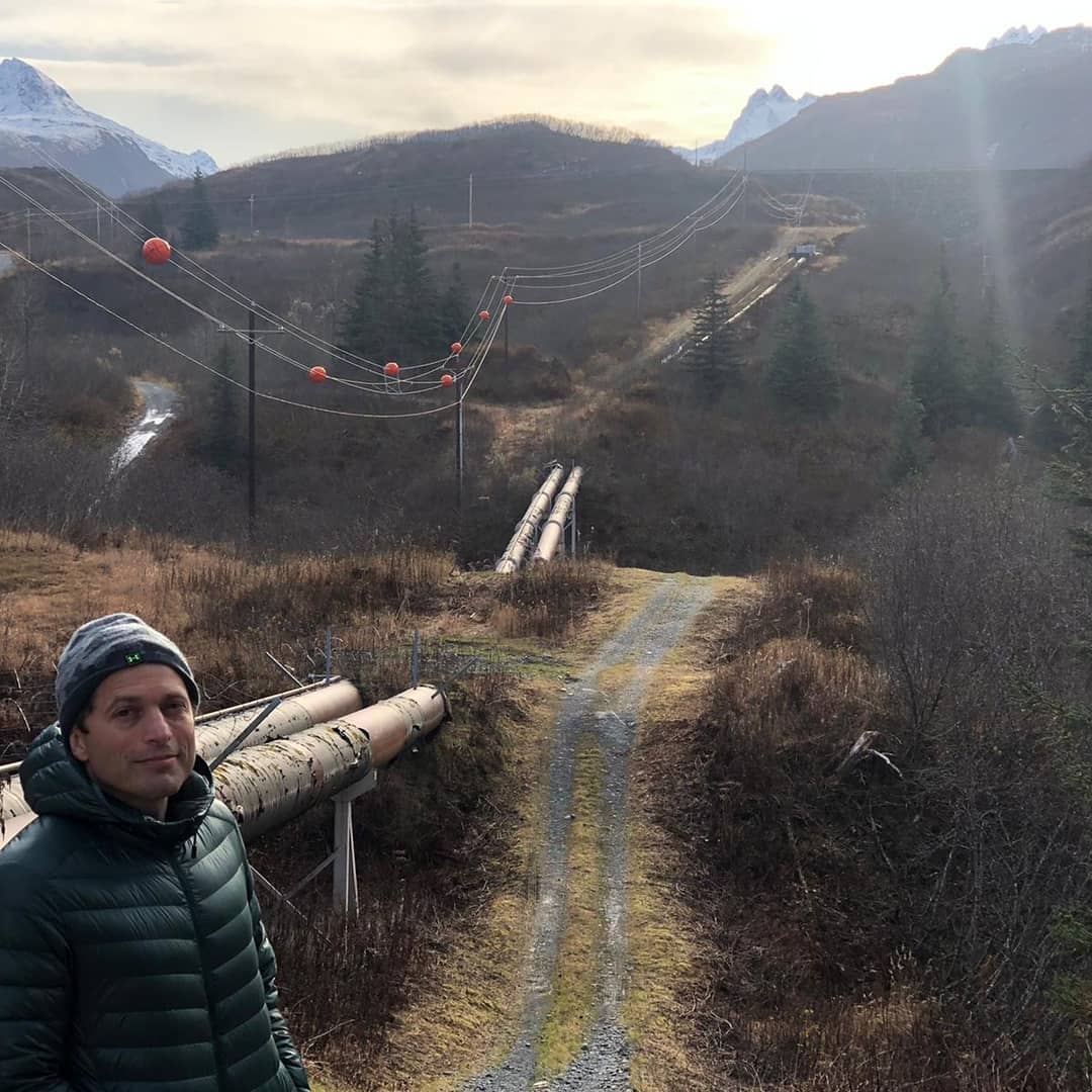
Hiked up a snowy mountain. A good day out on our way to Valdez.
📍 Matanuska Glacier, Matanuska Glacier is a valley glacier in the US state of Alaska. At 27mi long by 4mi wide, it is the largest glacier accessible by car in the United States. Its terminus feeds the Matanuska River. It lies near the Glenn Highway about 100mi north-east of Anchorage. Matanuska Glacier flows about 1ft per day. Due to ablation of the lower glacier, the location of the glacier terminus changed little over the previous three decades.The glacier is the eponym of the Alaska Marine Highway ferry M/V Matanuska. · map
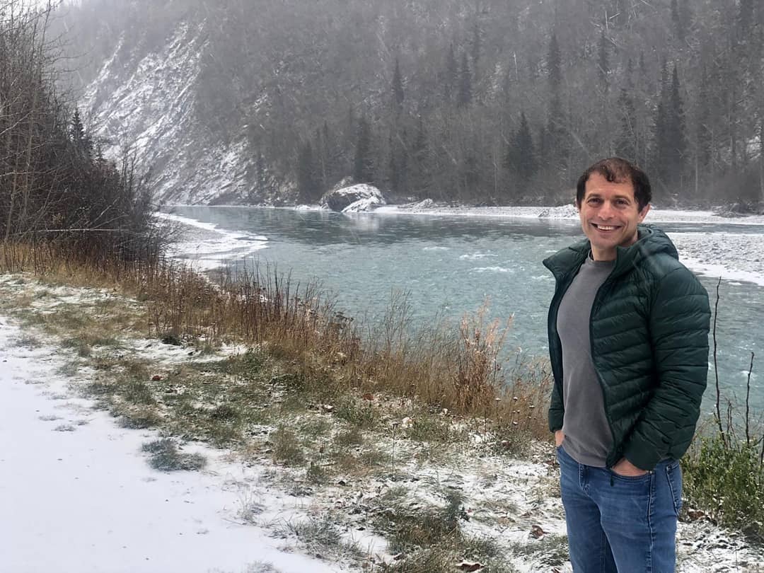

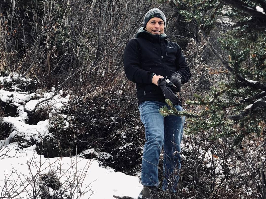

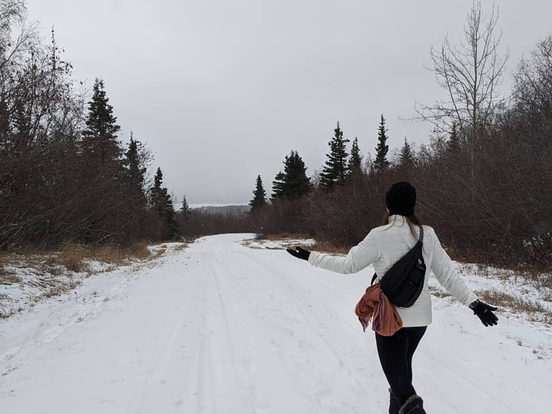
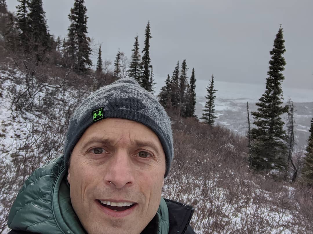
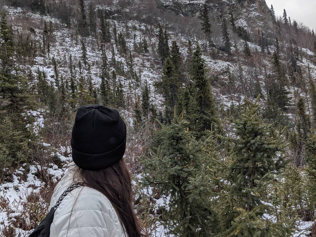
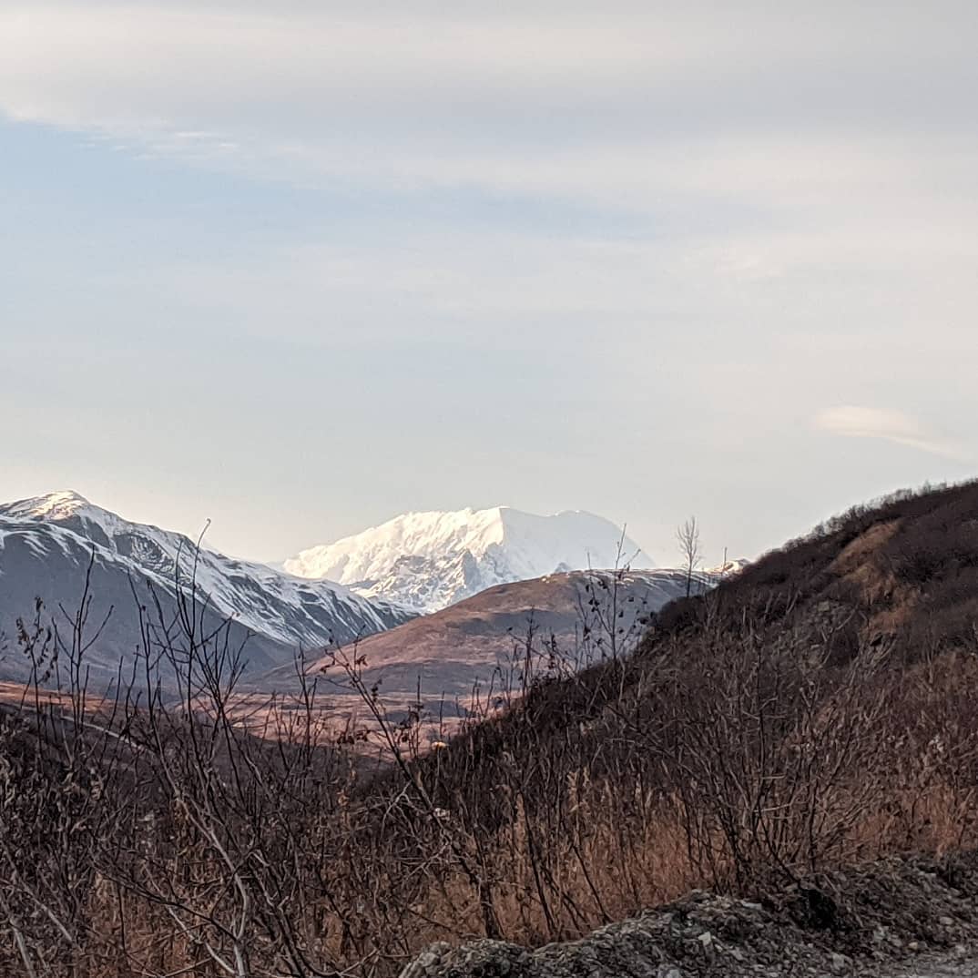
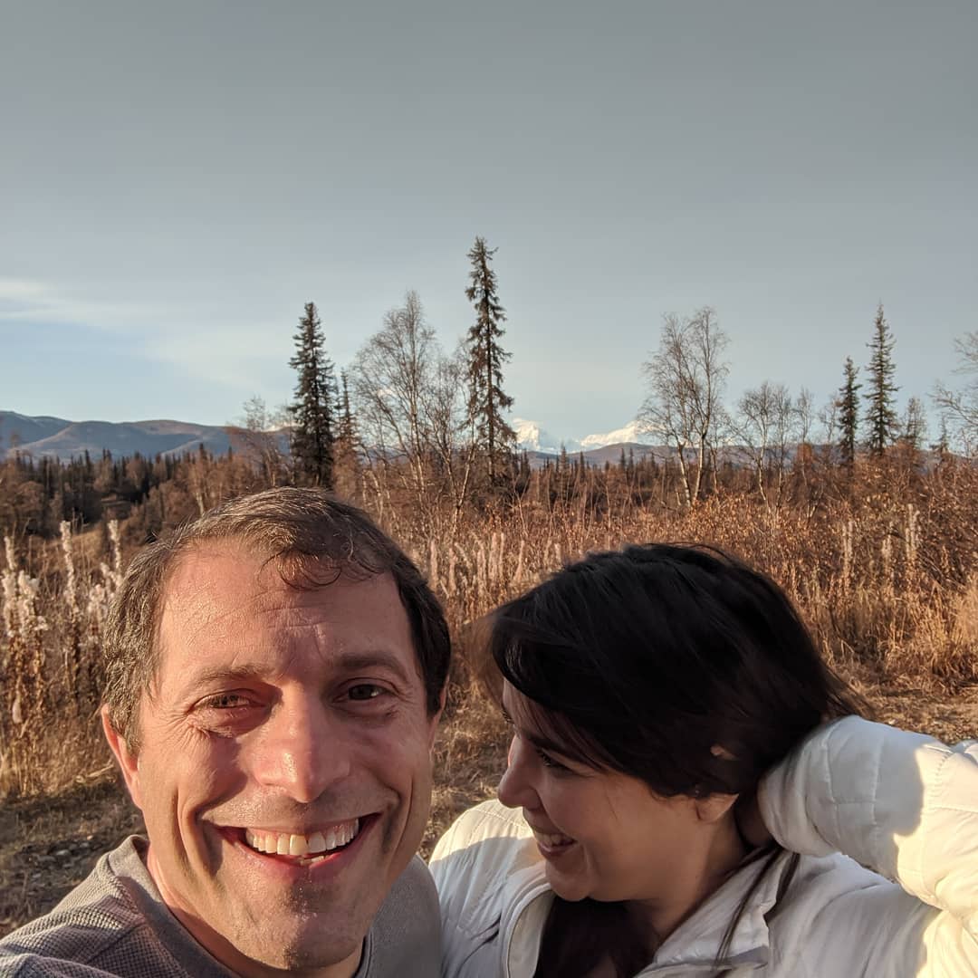
Drove up to the backside of Denali via petersville road today. It was a lot of time on the dirt with a ton of amazing views of the Alaskan range, a ghost town, some old mines, and I only have a few pictures by a big beaver damn
📍 Petersville, Alaska, Petersville is a census-designated place (CDP) in Matanuska-Susitna Borough, Alaska, United States. It is part of the Anchorage, Alaska Metropolitan Statistical Area. The population was four at the 2010 Census.Petersville is located at .According to the United States Census Bureau, the CDP has a total area of 355.4sqmi, of which, 354.1sqmi of it is land and 1.3sqmi of it is water.As of the census of 2000, there were 27 people, 17 households, and 7 families residing in the CDP. The population density was 0.1 people per square mile (0.0/km²). There were 189 housing units at an average density of 0.5/sq mi (0.2/km²). The racial makeup of the CDP was 88.89% White, 7.41% Native American and 3.70% Pacific Islander.There were 17 households out of which 5.9% had children under the age of 18 living with them, 29.4% were married couples living together, and 58.8% were non-families. 58.8% of all households were made up of individuals and 11.8% had someone living alone who was 65 years of age or older. The average household size was 1.59 and the average family size was 2.00.In the CDP, the population was spread out with 3.7% under the age of 18, 18.5% from 25 to 44, 63.0% from 45 to 64, and 14.8% who were 65 years of age or older. The median age was 52 years. For every 100 females there were 200.0 males. For every 100 females age 18 and over, there were 225.0 males. · map
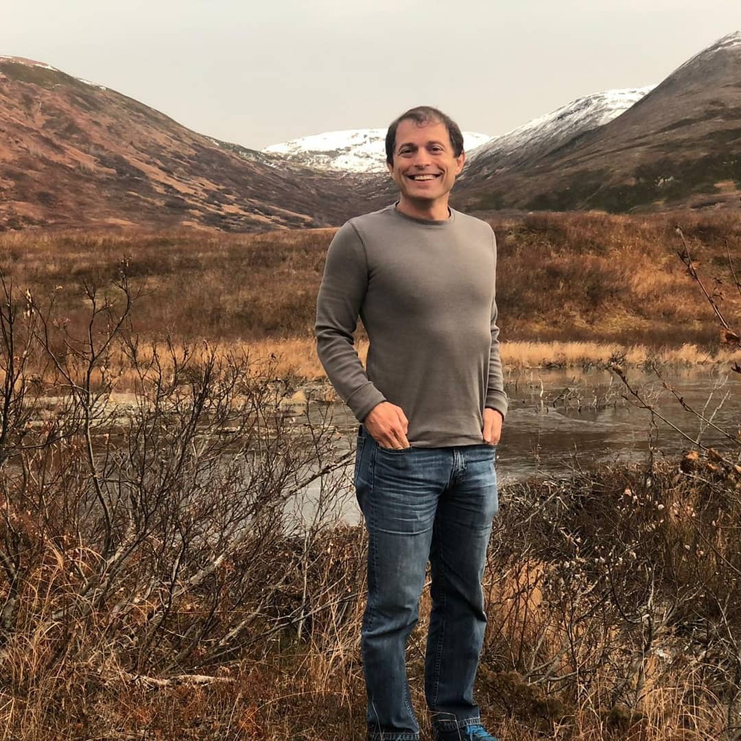
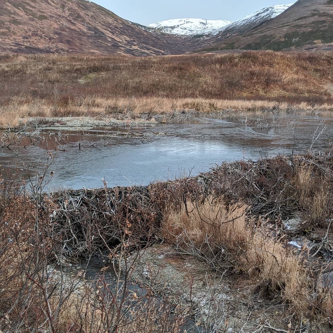
Started the hike today with just some light snow and almost nothing on the ground but it really picked up.
📍 Hatcher's Pass Reed Lakes · map
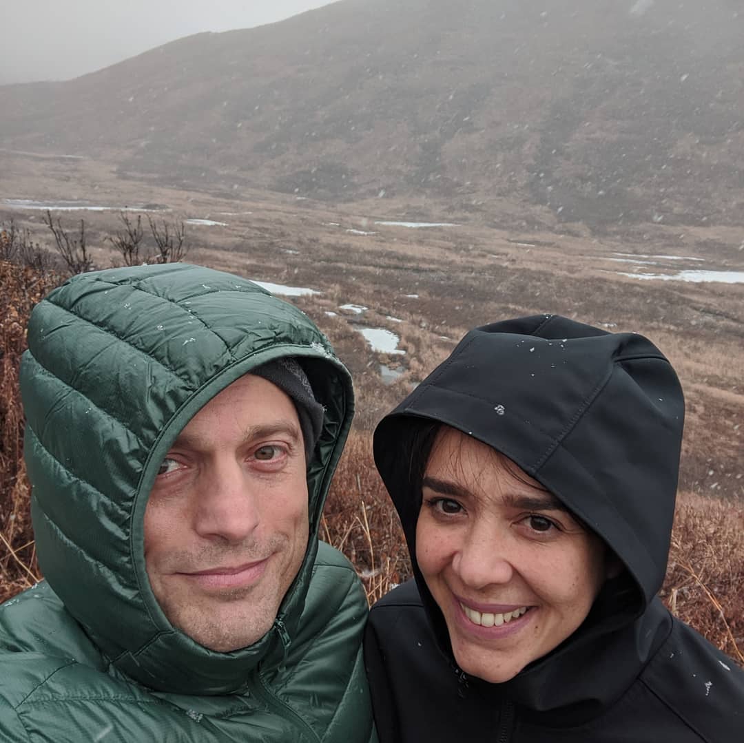
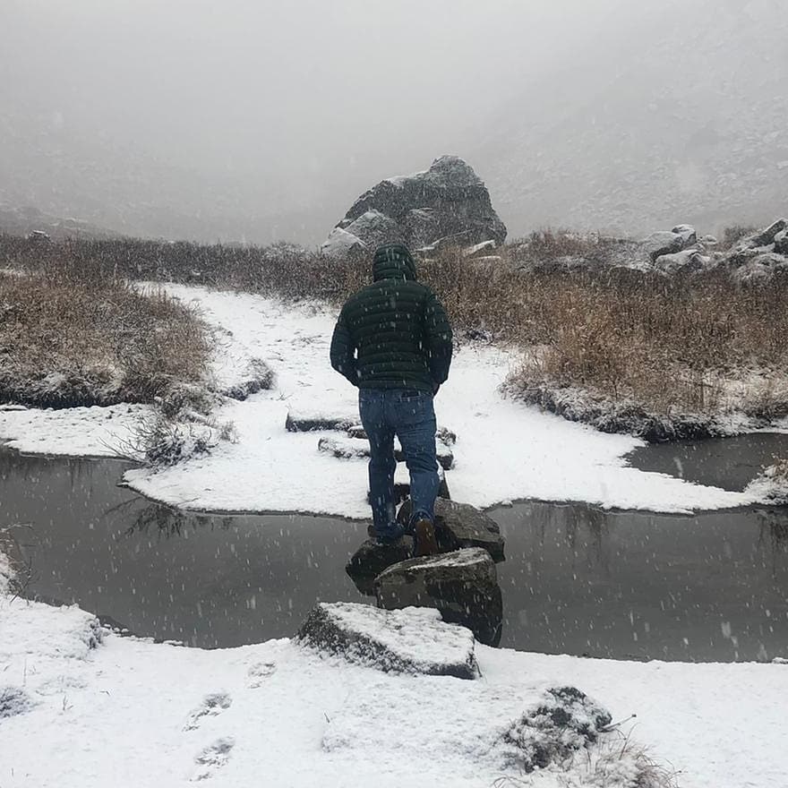
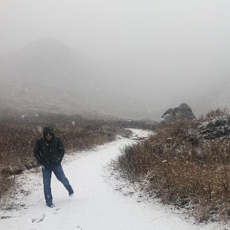
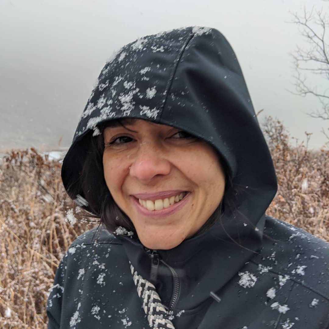
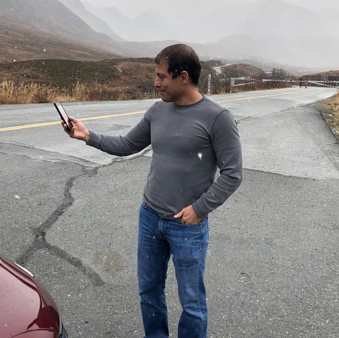
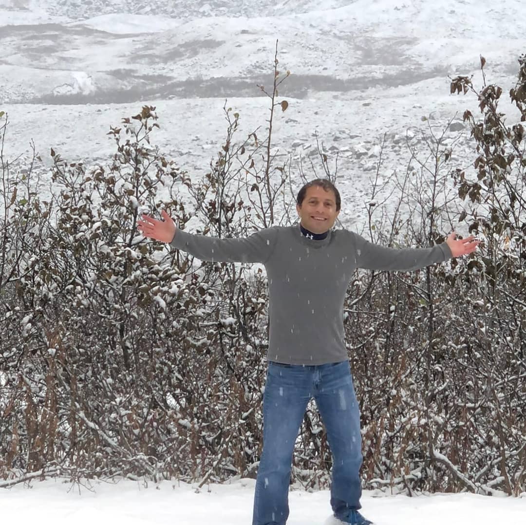
I am missing @claudiamolina23 something fierce.

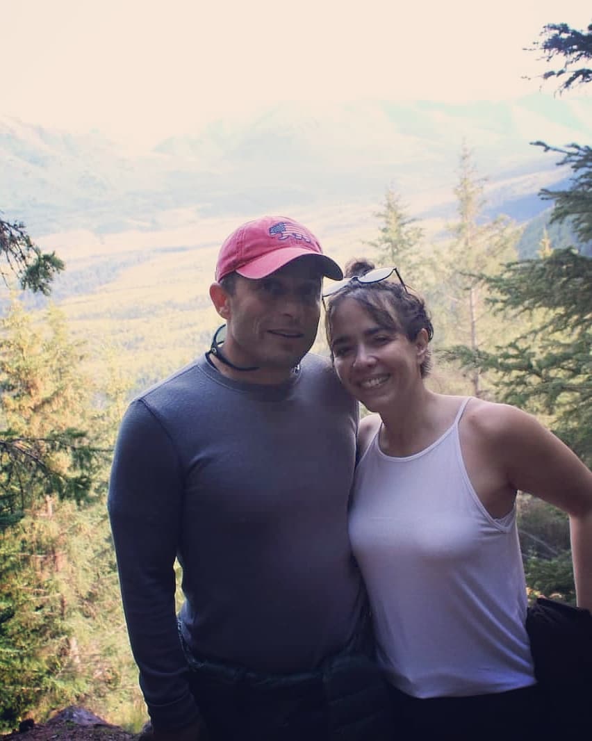



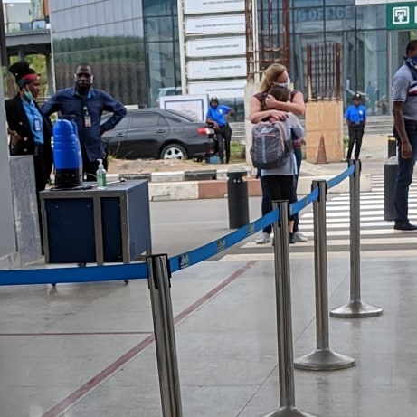
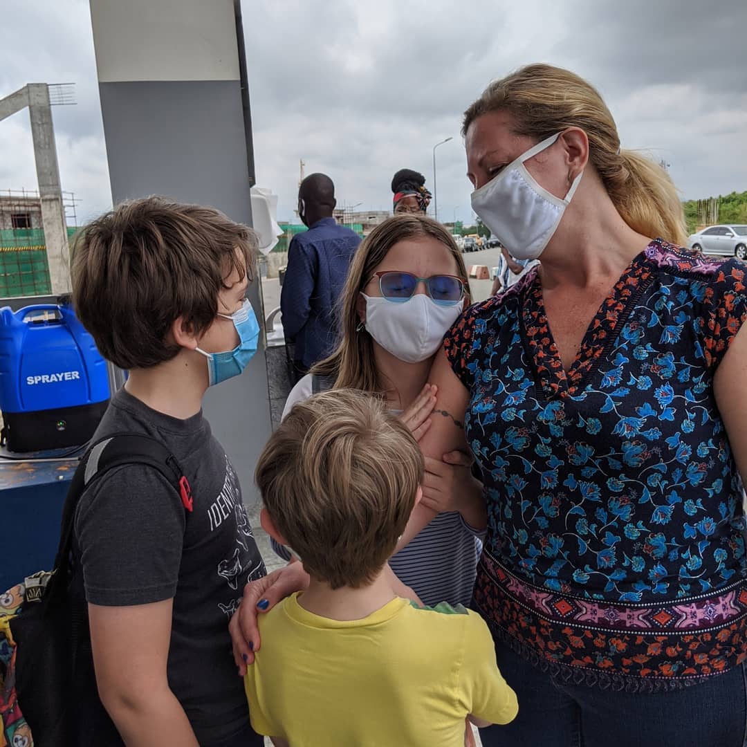
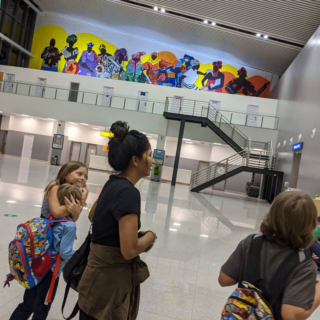
Back in Abuja. Got a good sequence of Amelie running the long hall to hug Laura. The other kids' reunions didn't really come out.
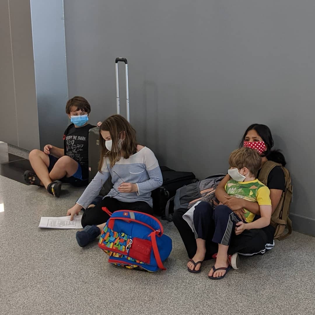
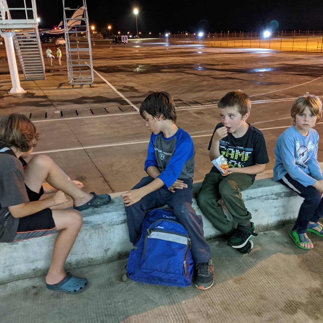
The last picture is of them all waiting at immigration. It took us just under 57 hours of travel door to door.
It's good to be home.
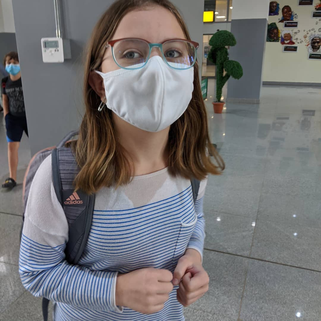
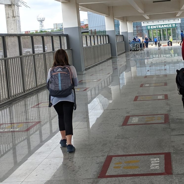
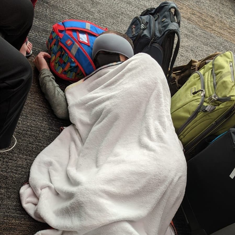
I slept better than this in Frankfurt but it did the trick in SFO.
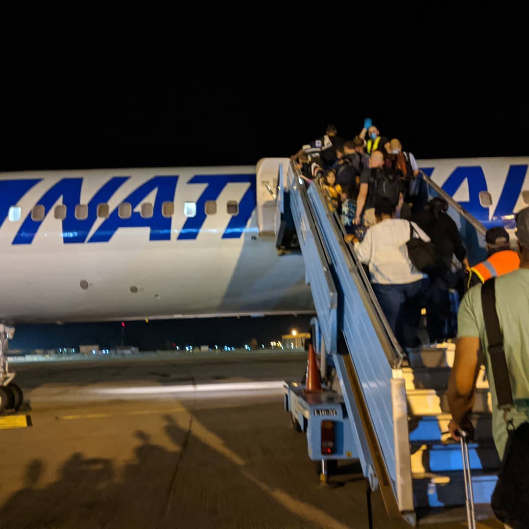
On what should be our second to last flight of five back to Abuja.
For some reason United couldn't figure out how to check bags through five flights as their tag system only has space for four. So we had to go get luggage in SFO and check it back in.
Feeling close to home sweet Abuja...
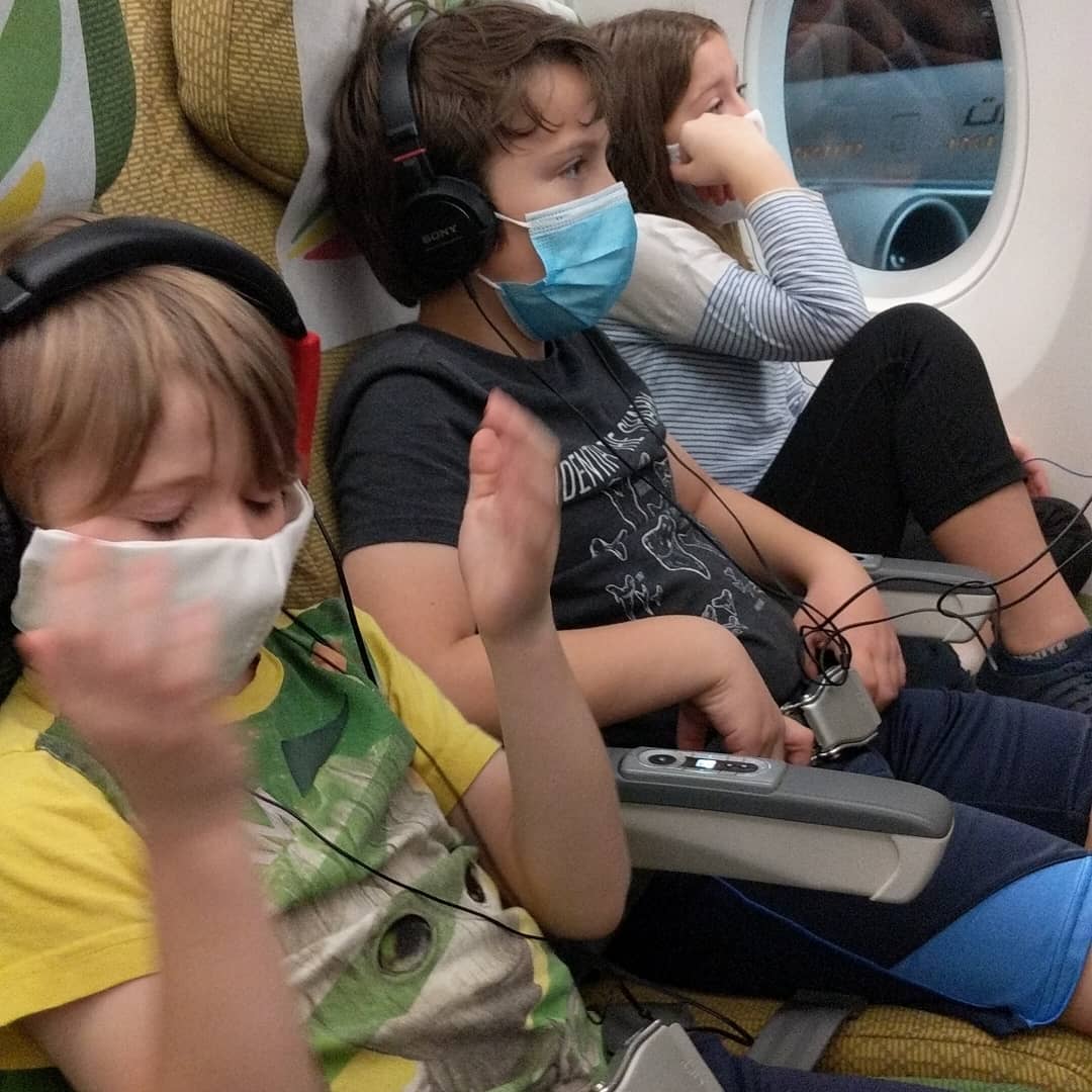
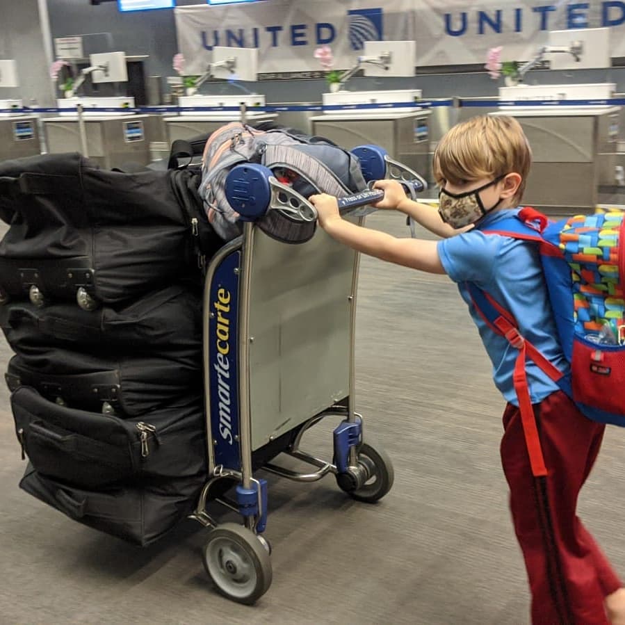
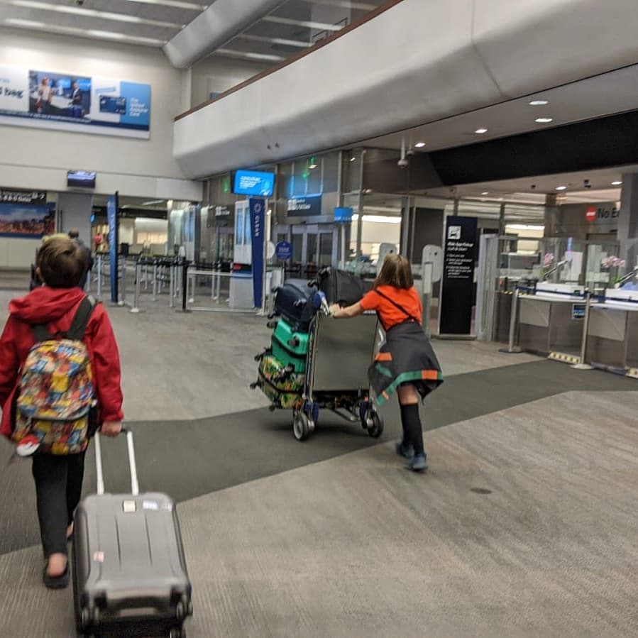
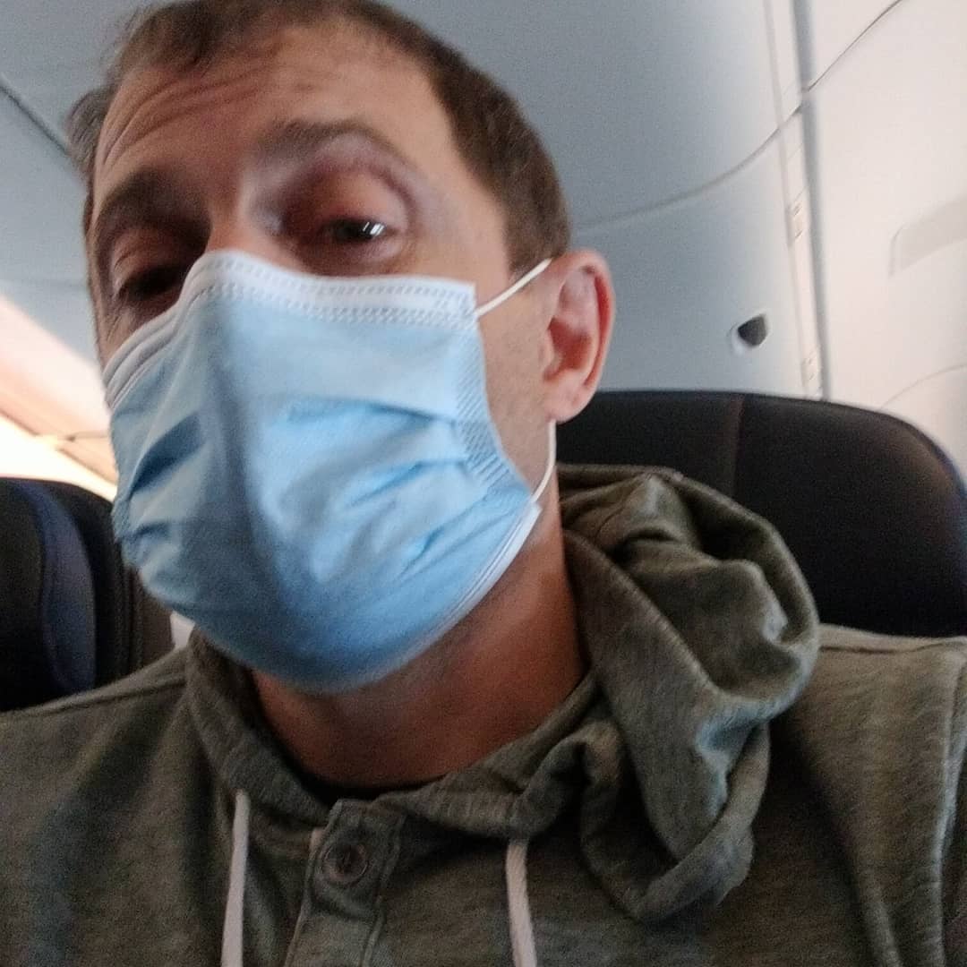
On the first of five flights that hopefully gets us back to Abuja on Saturday at noon.
📍 Anchorage, Alaska, Anchorage is a unified home rule municipality in the U.S. state of Alaska. With an estimated 298,192 residents in 2016, it is Alaska's most populous city and contains more than 40 percent of the state's total population; among the 50 states, only New York has a higher percentage of residents who live in its most populous city. All together, the Anchorage metropolitan area, which combines Anchorage with the neighboring Matanuska-Susitna Borough, had a population of 401,635 in 2016.Anchorage is located in the south-central portion of Alaska at the terminus of the Cook Inlet on a peninsula formed by the Knik Arm to the north and the Turnagain Arm to the south. The city limits span 1,961.1sqmi which encompass the urban core, a joint military base, several outlying communities and almost all of Chugach State Park.Due to its location on the globe, being almost equidistant from New York City, Frankfurt, and Tokyo, Anchorage lies within 9 ½ hours by air to nearly 90% of the industrialized world. For this reason, the Anchorage International Airport is a common refueling stop for many international flights and is home to a major FedEx Hub which the company calls a "critical part" of its global network of services. · map
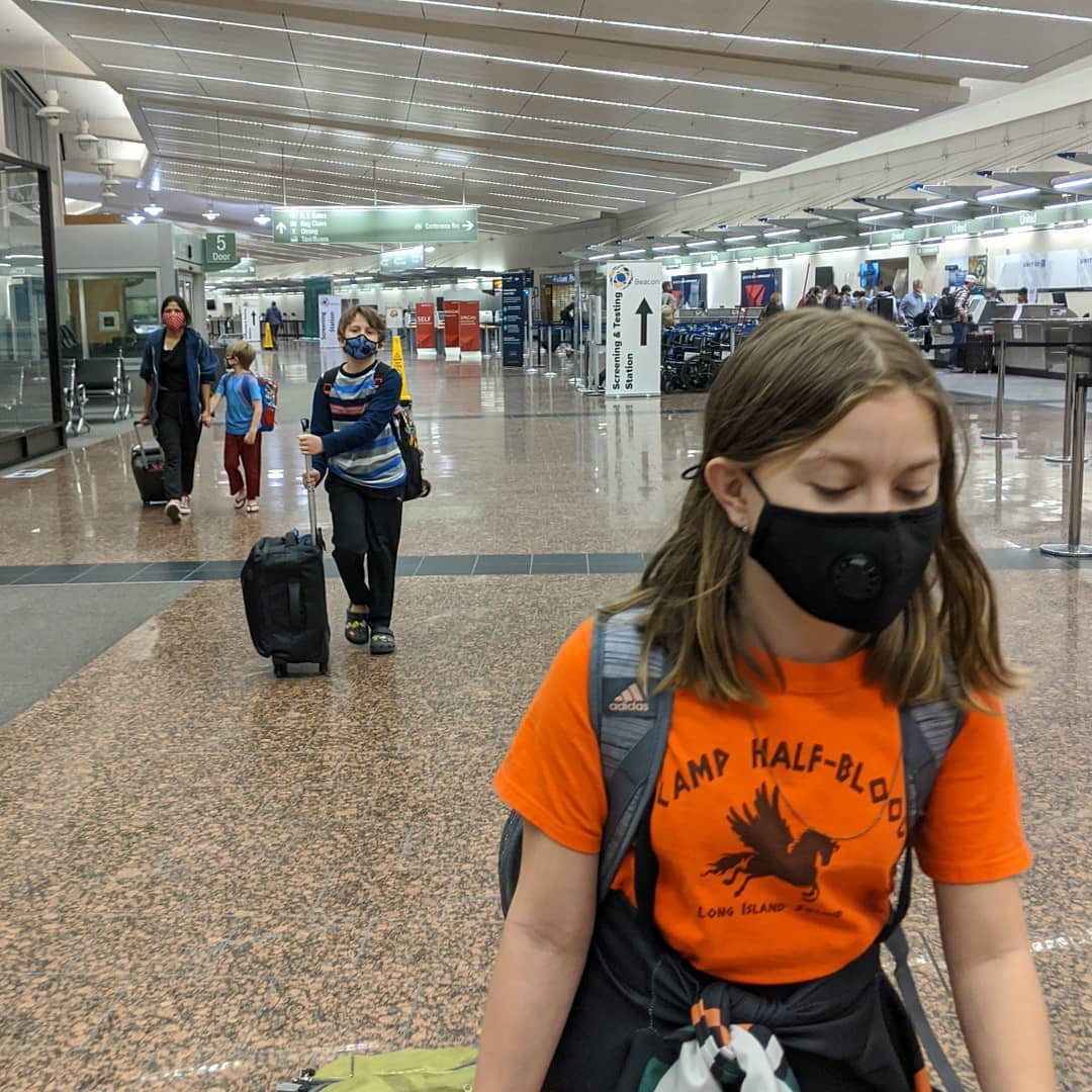
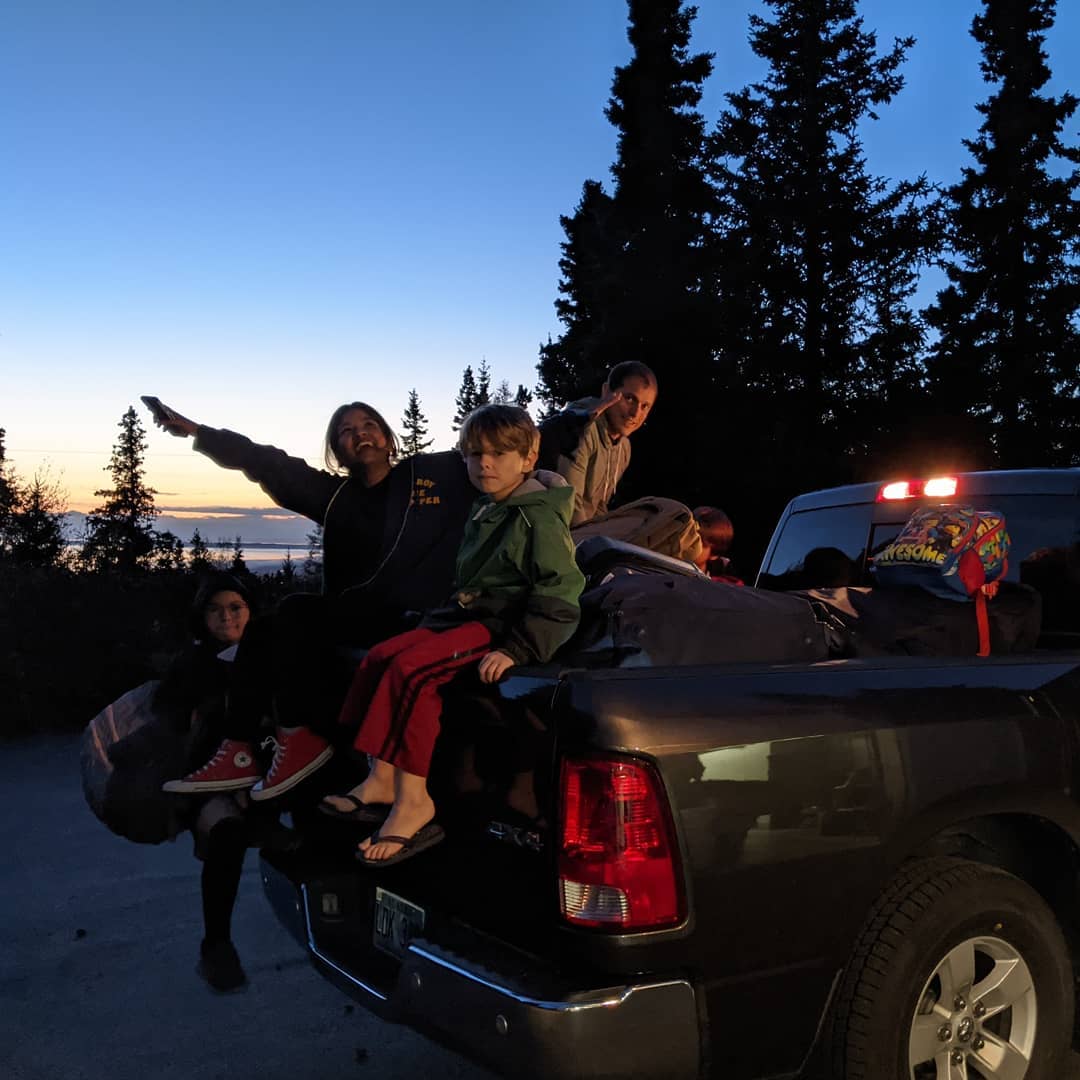
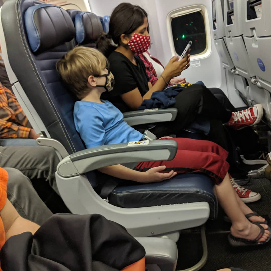
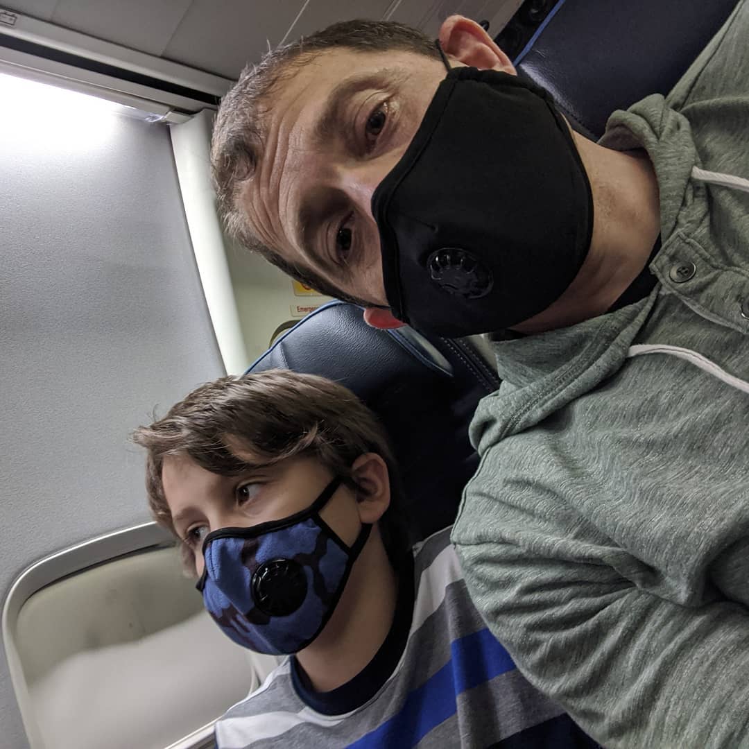
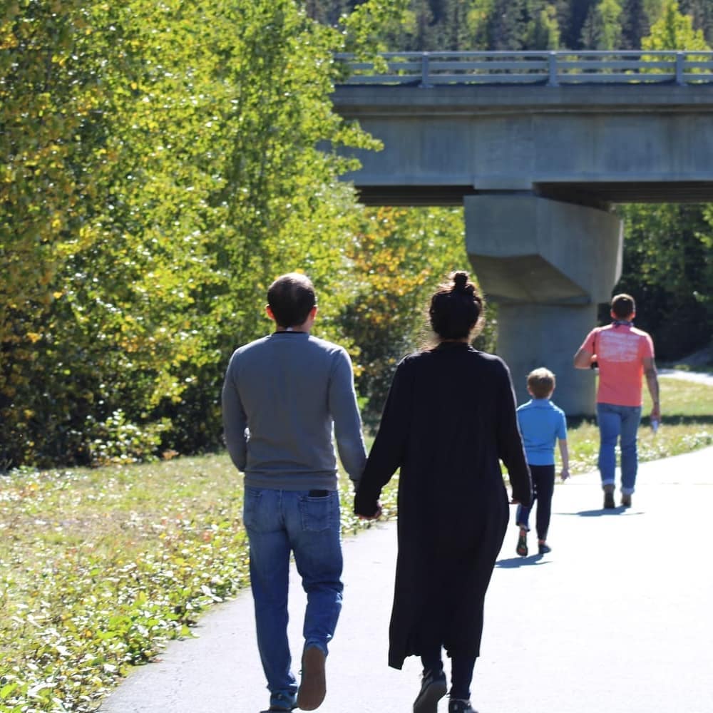
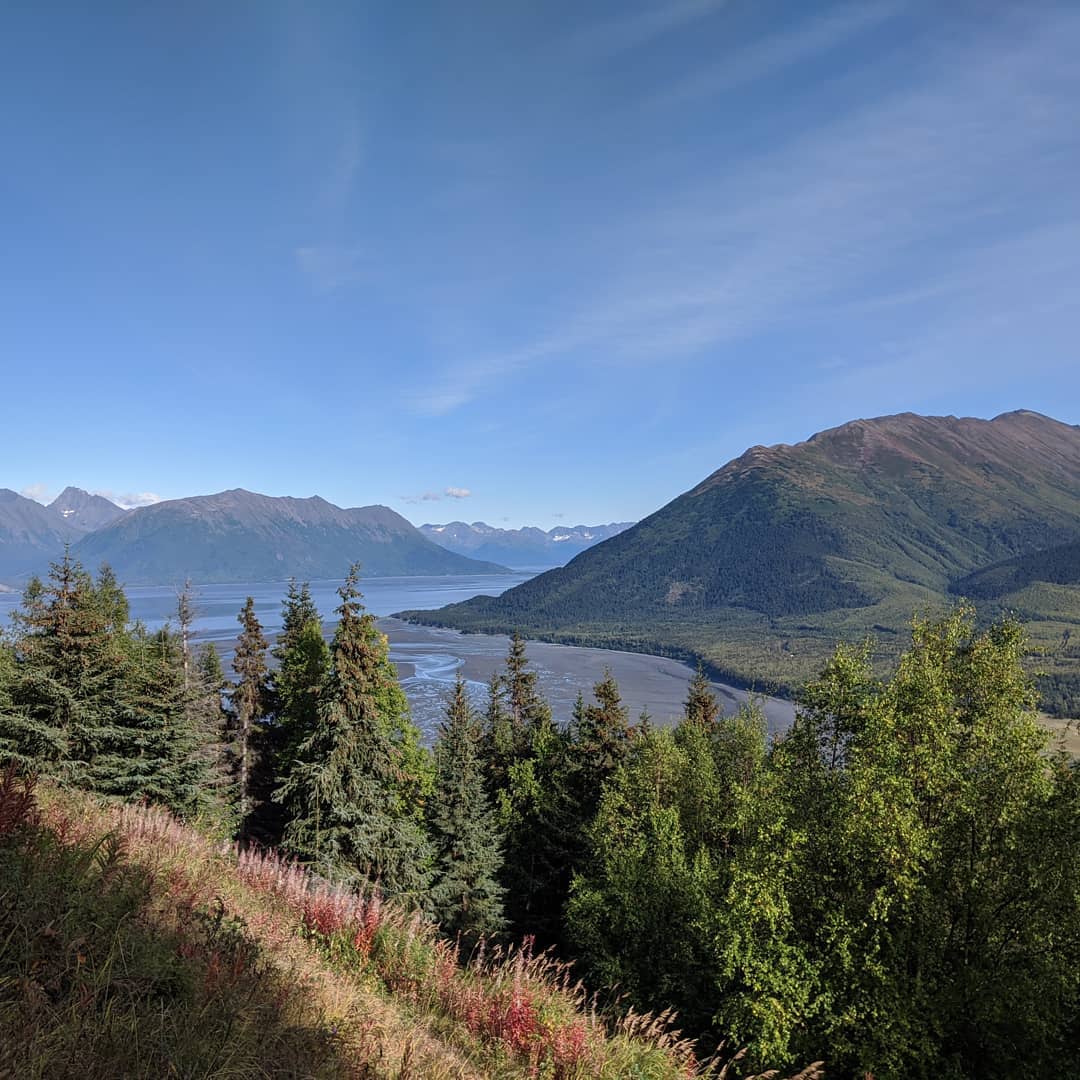
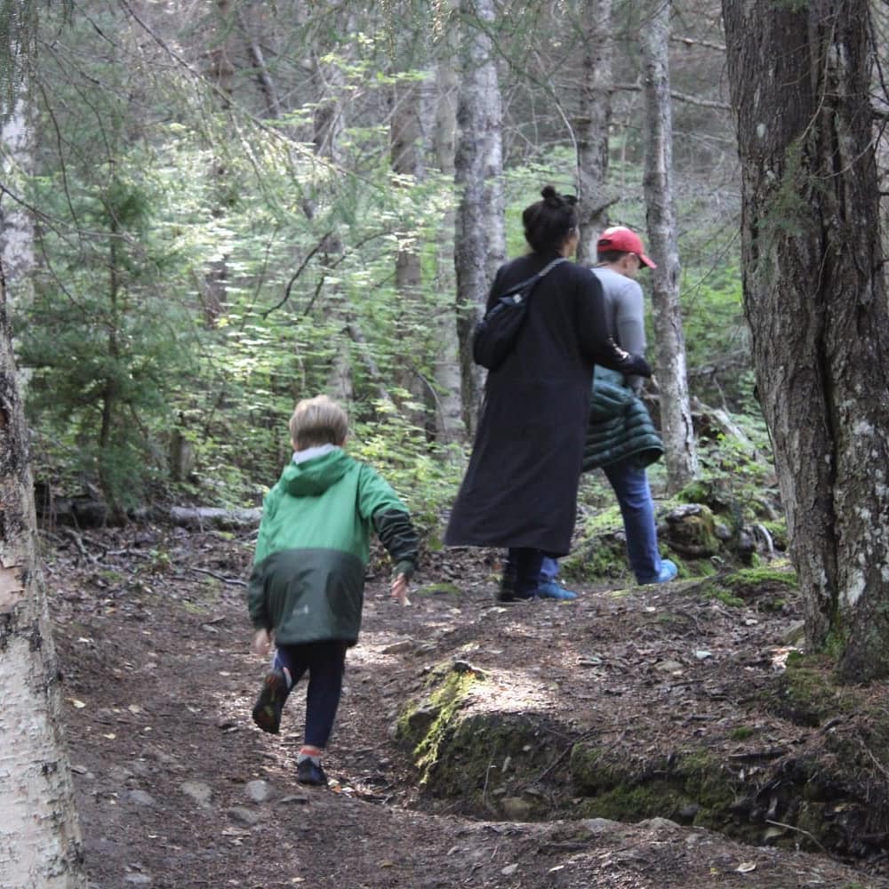
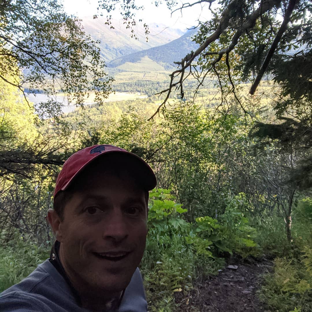
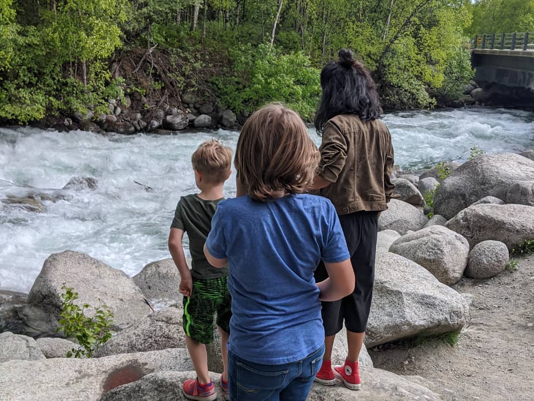
Went for what might be our final hike today (the older kids stayed home on hike strike). It was gorgeous, as always, and on the way back we saw the bore tide and the belugas (unfortunately, no pics).
📍 Hope, Alaska, Not to be confused with Point Hope, AlaskaHope is a census-designated place (CDP) in Kenai Peninsula Borough in the U.S. state of Alaska. As of the 2010 census the population was 192.Hope is located at . Hope is located in the Seward Recording District.Hope lies on the northern end of Kenai Peninsula, on the south shore of the Turnagain Arm of Cook Inlet. The community lies on the 17-mile Hope Highway, northwest of the Seward Highway, near the mouth of Resurrection Creek. Winter temperatures range from 14 to 27 °F; summer temperatures vary from 45 to 65 °F. Average annual precipitation is 20 inches.According to the United States Census Bureau, the CDP has a total area of 51.8sqmi, of which, 51.7sqmi of it is land and 0.1sqmi of it is water.Hope has a dry-summer continental subarctic climate (Köppen Dsc)."Hope City" was a mining camp for Resurrection Creek, established in 1896. The Hope post office began operating in 1897. Portions of the town were destroyed in the 1964 Good Friday earthquake. · map

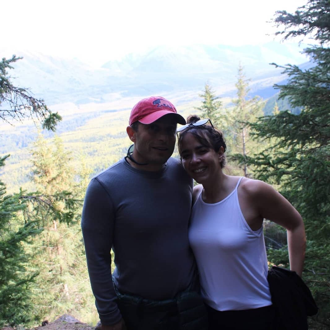
https://www.youtube.com/watch?v=5DvmM7nPqVA&utm_campaign=wp_the_daily_202&utm_medium=email&utm_source=newsletter&wpisrc=nl_daily202
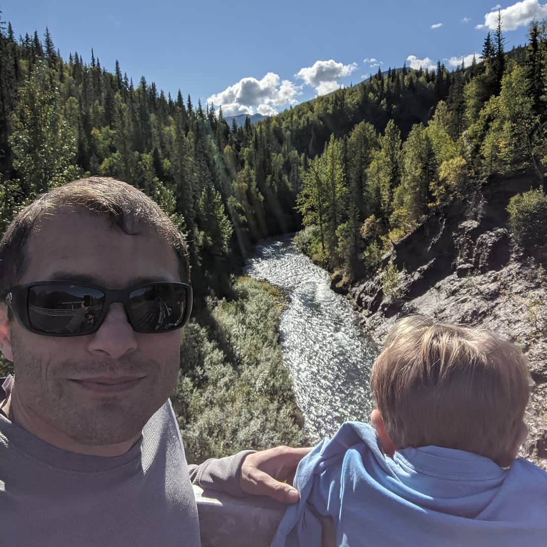
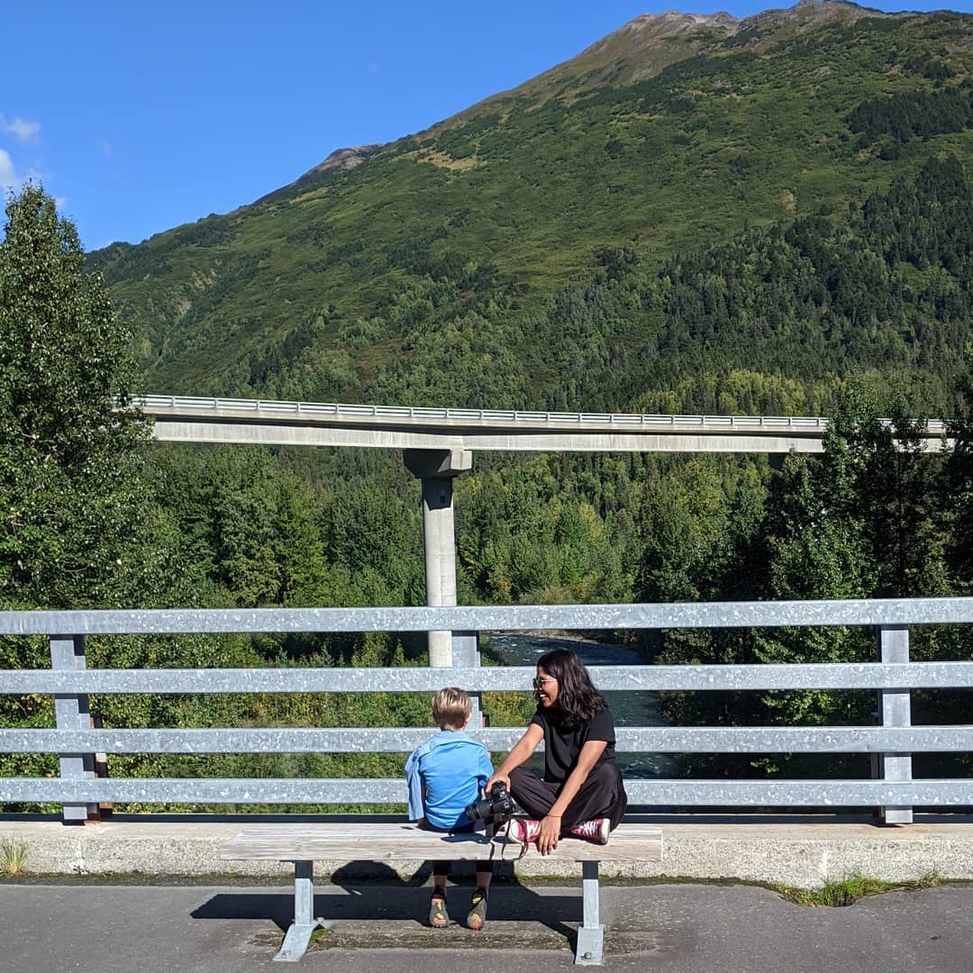
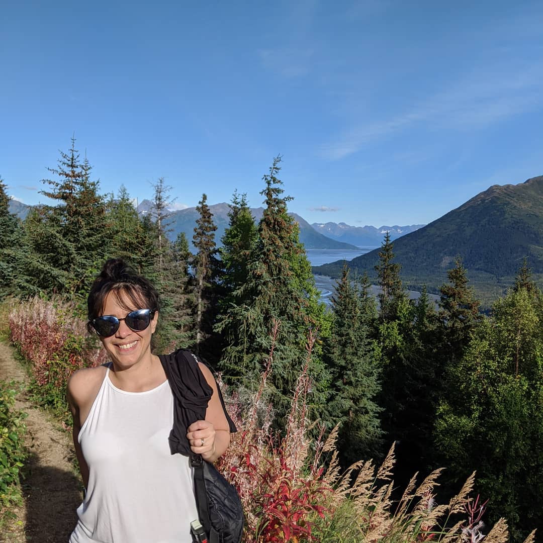
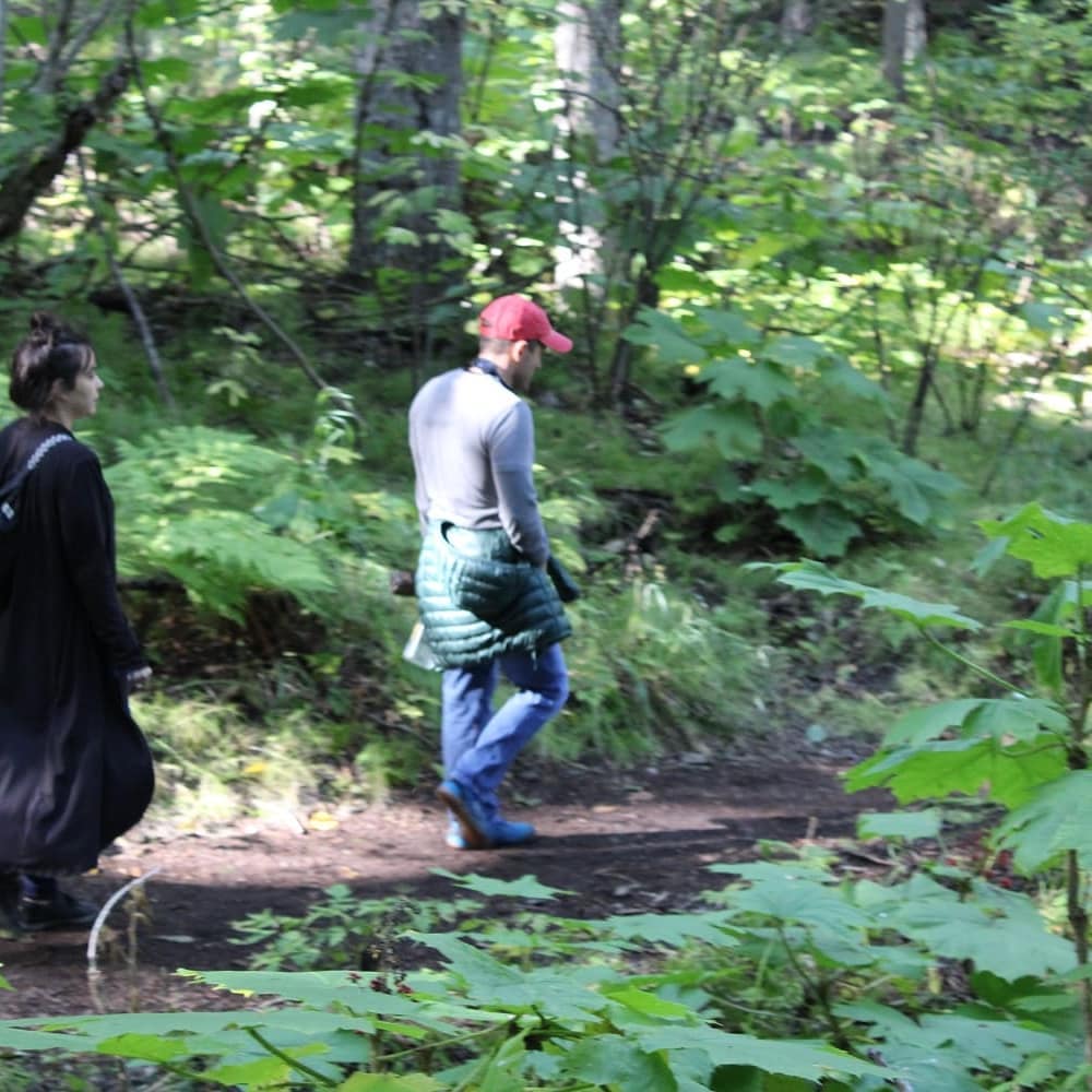
youtube.comyoutube.comDid a four day RV trek around Alaska last week. Probably our last big outing prior to a possible return to post in two to three weeks. @ Anchorage, Alaska
📍 Anchorage, Alaska, Anchorage, AK 99501–99524, 99529-99530, 99599 · map
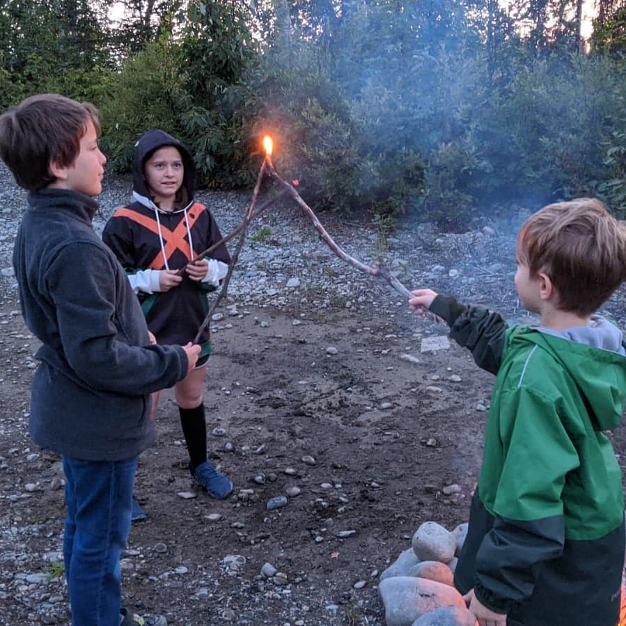


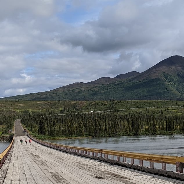
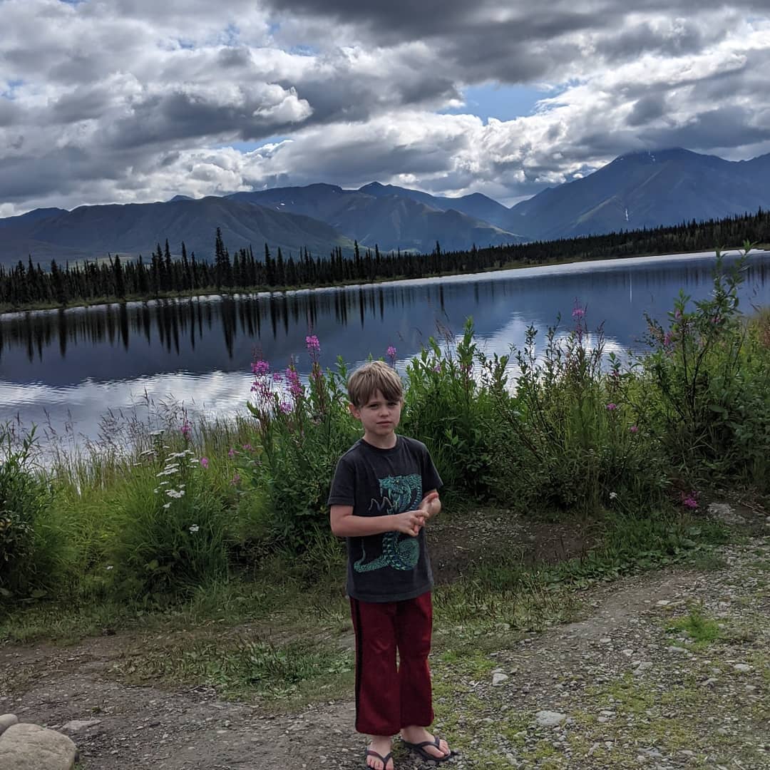
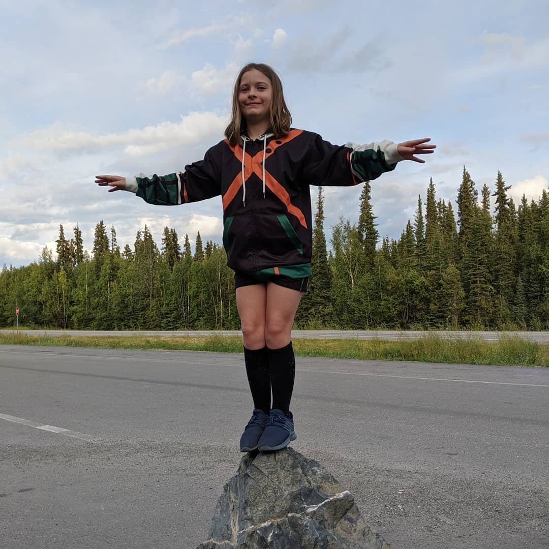
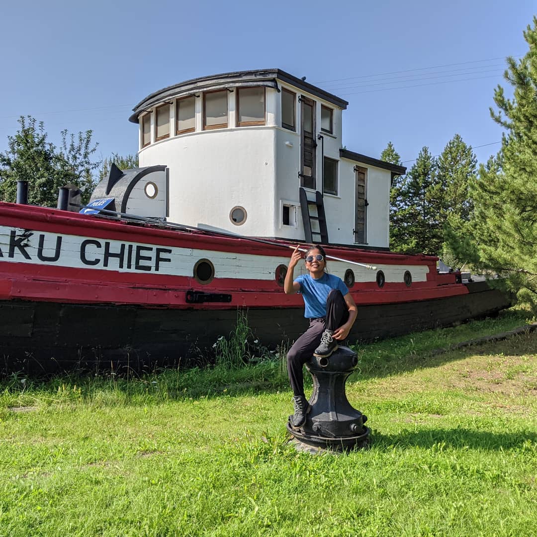

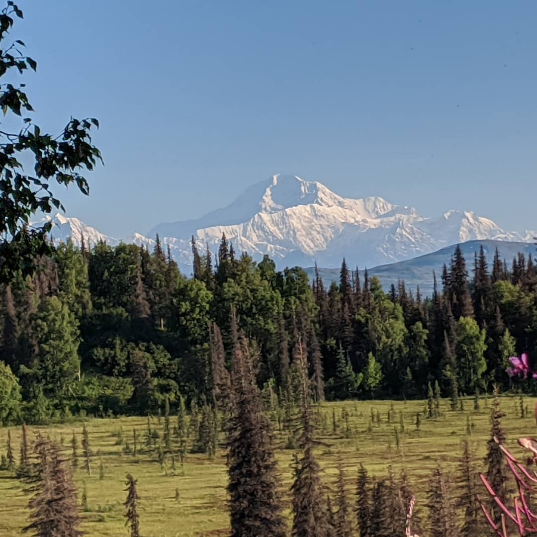
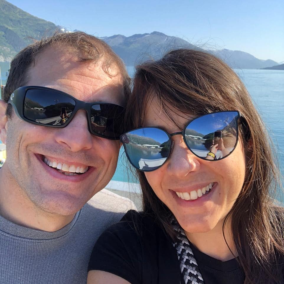
Out for the day!
📍 Phillips Cruises & Tours, LLC, Phillips Cruises and Tours operates glacier cruises seven days a week to share the pristine beauty of Alaska in the glacier-filled fjords of Prince William Sound (Whittier, Alaska). \n\nFrom May to October, Phillips Cruises departs daily to provide wildlife and glacier viewing opportunities in one of the most spectacular destinations south of Anchorage. Whittier is the Gateway to Prince William Sound, where rivers of ice twist down mountains carving valleys and fjords filled with glaciers. \n\nWhittier is easily accessed by road, allowing visitors to customize their journey as they explore Alaska. However, if you prefer to relax and watch the scenery, coach and rail service options are available to the small seaside town of Whittier where our cruises depart. \n\nEvery cruise with Phillips Cruises and Tours includes our industry-exclusive "No Seasickness" guarantee. During the cruise, the professional narration is provided by the Captain and a ranger from the Chugach National Forest Service. Adults and children receive a complimentary hot meal, coffee, tea, and water during the cruise. Indoor seating is organized at tables equipped with USB charging stations* and a full-service bar that features specialty cocktails and snacks available for purchase. Our safe, clean, and spacious vessels are restroom-equipped and smoke-free.\n*M/V Glacier Quest does not have USB charging stations.\n\n26 Glacier Cruise from Whittier, Alaska - Prince William Sound\nEvery journey into Prince William Sound is unforgettable. The 26 Glacier Cruise travels 140 miles in 5-hours retracing the path of early explorers and scientists from the Harriman Expedition in 1899. Your Captain will set a course that travels through the serenity of Esther Passage and continues into narrow glacier-carved fjords. View the majestic alpine and tidewater glaciers of College Fjord and Blackstone Bay while traveling in luxurious comfort aboard M/V Klondike Express or M/V Bravest, the fastest catamarans in Alaska. Our double-plated hull provides a safe and stable cruise as we nudge our way past icebergs that drift in front of the massive glaciers anchoring the end of the fjords with deep blue crevasses of towering ice. Our high-speed catamarans are propelled with two diesel engine-driven water jets, each pumping 165,000 gallons of water per minute, bringing the cruising speed up to 35 knots, allowing us to glide effortlessly through Prince William Sound. \n\nGlacier Quest Cruise from Whittier, Alaska - Prince William Sound\nThe Glacier Quest Cruise route travels to magnificent Blackstone Bay, home to seven glaciers and Yosemite-scale waterfalls. Several terminal moraines are present in this region, marking the retreat and advancement of the glaciers over time. Keep an eye on the navigation monitors on the vessel, and you'll see how the fjord shifts from 20 feet in depth to over 1100 feet in a short distance. Waterfalls line the rocky walls of Blackstone Bay with ribbons of shimmering cascades of glacier waterfalls trailing from 3,000' mountain peaks into the sea. Dense spruce forests line the shoreline down to craggy rock outcroppings, which are some of our favorite places to spot wildlife.\n\nThank you for choosing Phillips Cruises and Tours for your glacier and wildlife cruise excursion in Alaska. \nWe hope to see you soon! Safe Travels. · map
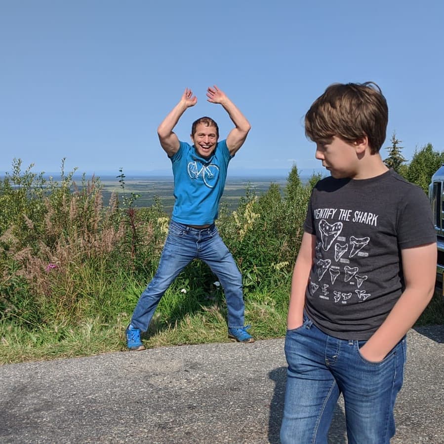
If you want to know how embarrassing it is when your dad does jumping jacks at the rest stop, just ask this kid.
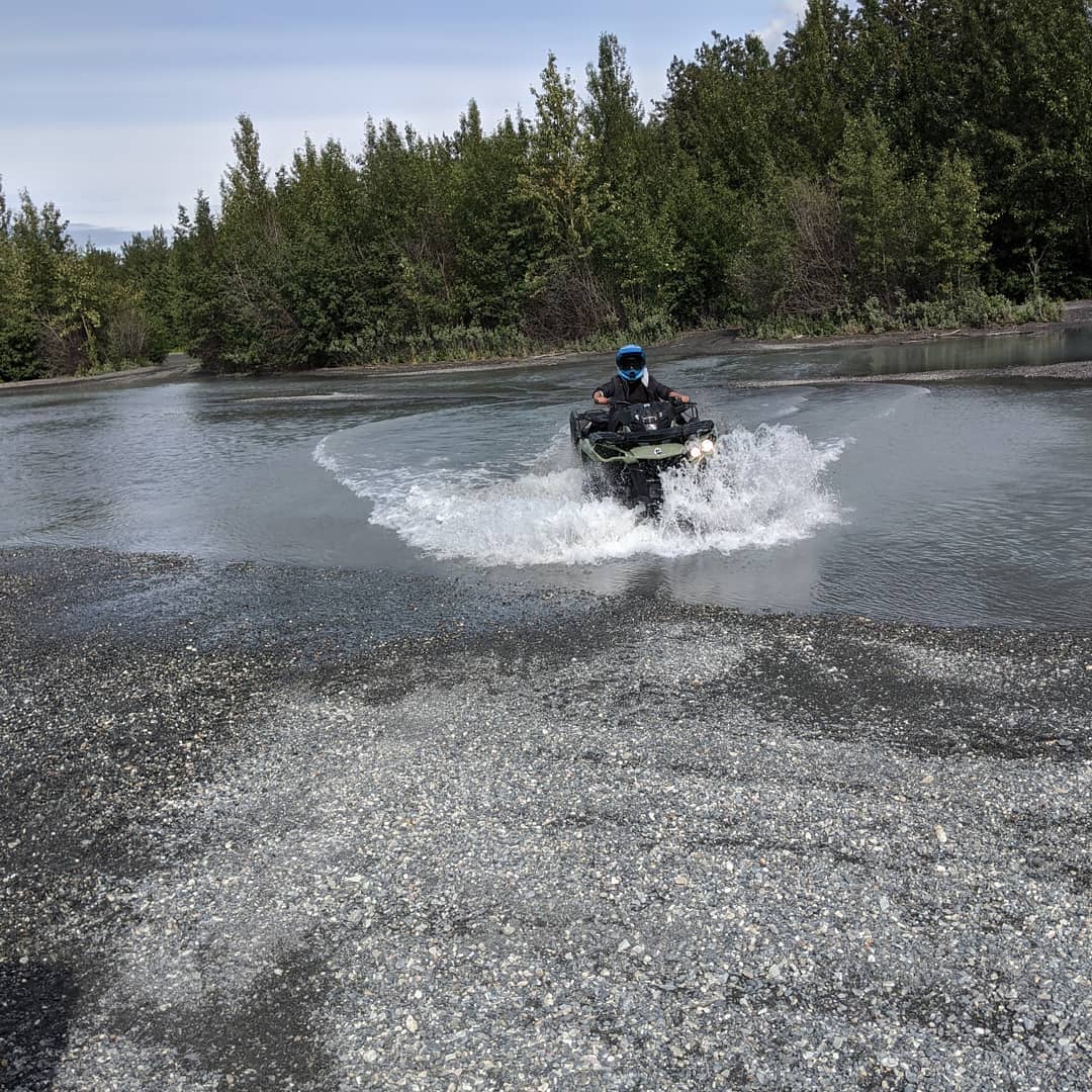
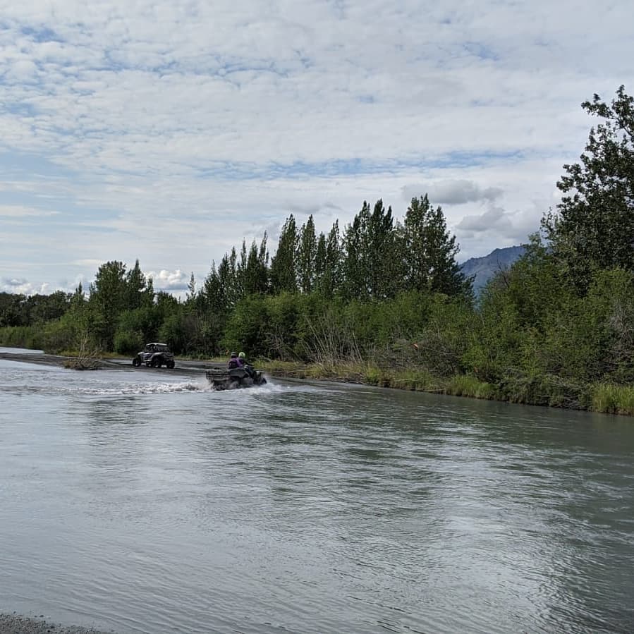
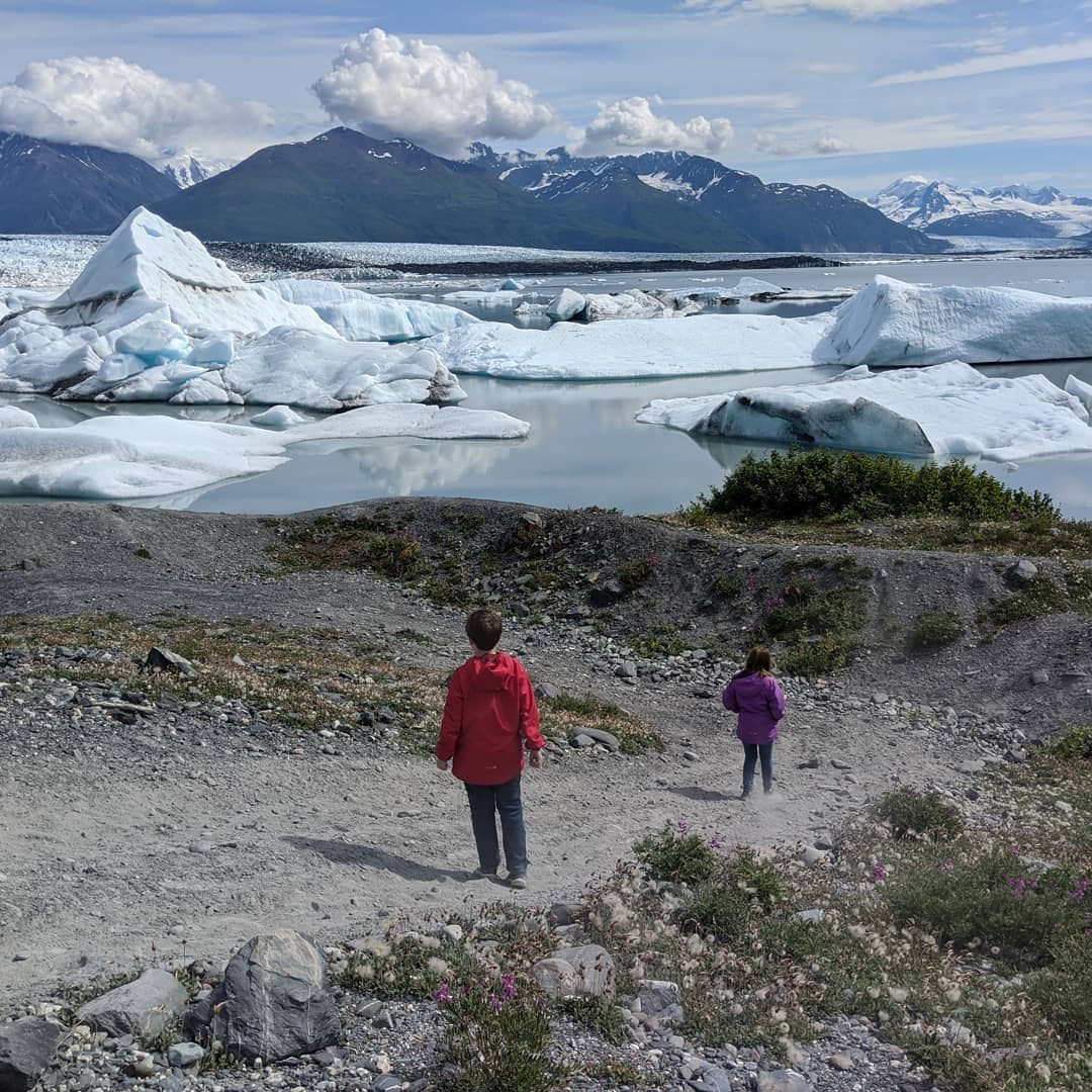
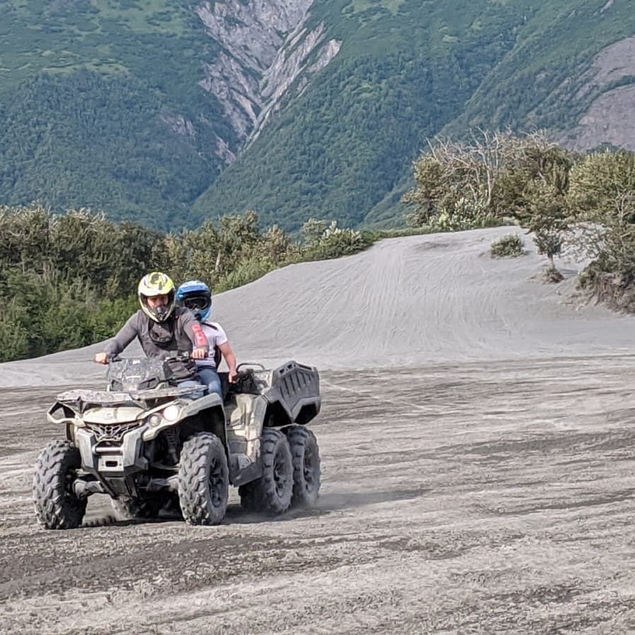
Amazing day ATVing last Monday. Rode a long way back and forth across a river to a spectacular glacier. Didn't get pictures of the muddiest, messiest parts as we were busy riding. A very good day. @ Knik Glacier
📍 Knik Glacier, Anchorage, AK 99508 · map

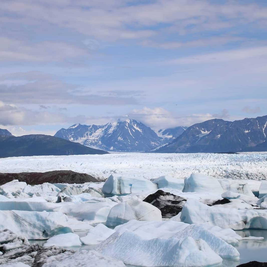

One more from the hike :-)
📍 Exit Glacier, Exit Glacier is a glacier derived from the Harding Icefield in the Kenai Mountains of Alaska and one of Kenai Fjords National Park's major attractions. It is one of the most accessible valley glaciers in Alaska and is a visible indicator of glacial recession due to climate change. Exit Glacier retreated approximately 187ft from 2013 to 2014 and park scientists continue to monitor and record the glacier's accelerating recession.It received its name for serving as the exit for the first recorded crossing of the Harding Icefield in 1968.In the spring of 1968, the first documented mountaineering party succeeded in crossing the Harding Icefield. Ten people were involved in the crossing, which went from Chernof Glacier east to Resurrection Glacier (Later renamed Exit as the newspaper reported that the group would be descending the "Exit Glacier"). Expedition members included Bill Babcock, Eric Barnes, Bill Fox, Dave Johnston, Yule Kilcher and his son Otto, Dave Spencer, Helmut Tschaffert, and Vin and Grace (Jansen) Hoeman. As noted above, Yule Kilcher, Dave Johnston, Vin Hoeman, and Grace Hoeman were veterans of previous attempts; of the ten, only four–Bill Babcock, Dave Johnston, Yule Kilcher, and Vin Hoeman–hiked all the way across the icefield. The expedition left Homer on April 17, bound for Chernof Glacier; eight days later, they descended Exit Glacier and arrived in Seward. Along the way, the party made a first-ever ascent of Truuli Peak, a 6,612ft eminence that protrudes from the northwestern edge of the icefield near Truuli Glacier. · map
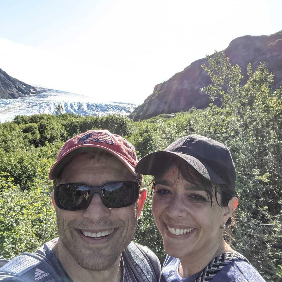
Hike to exit glacier and Harding icefield. Kids really kept up the pace over a very steep, very long hike. I got a picture of the marmot but the mountain goats didn't come out well. @ Exit Glacier National Park
📍 Exit Glacier National Park, Seward, AK 99664 · map

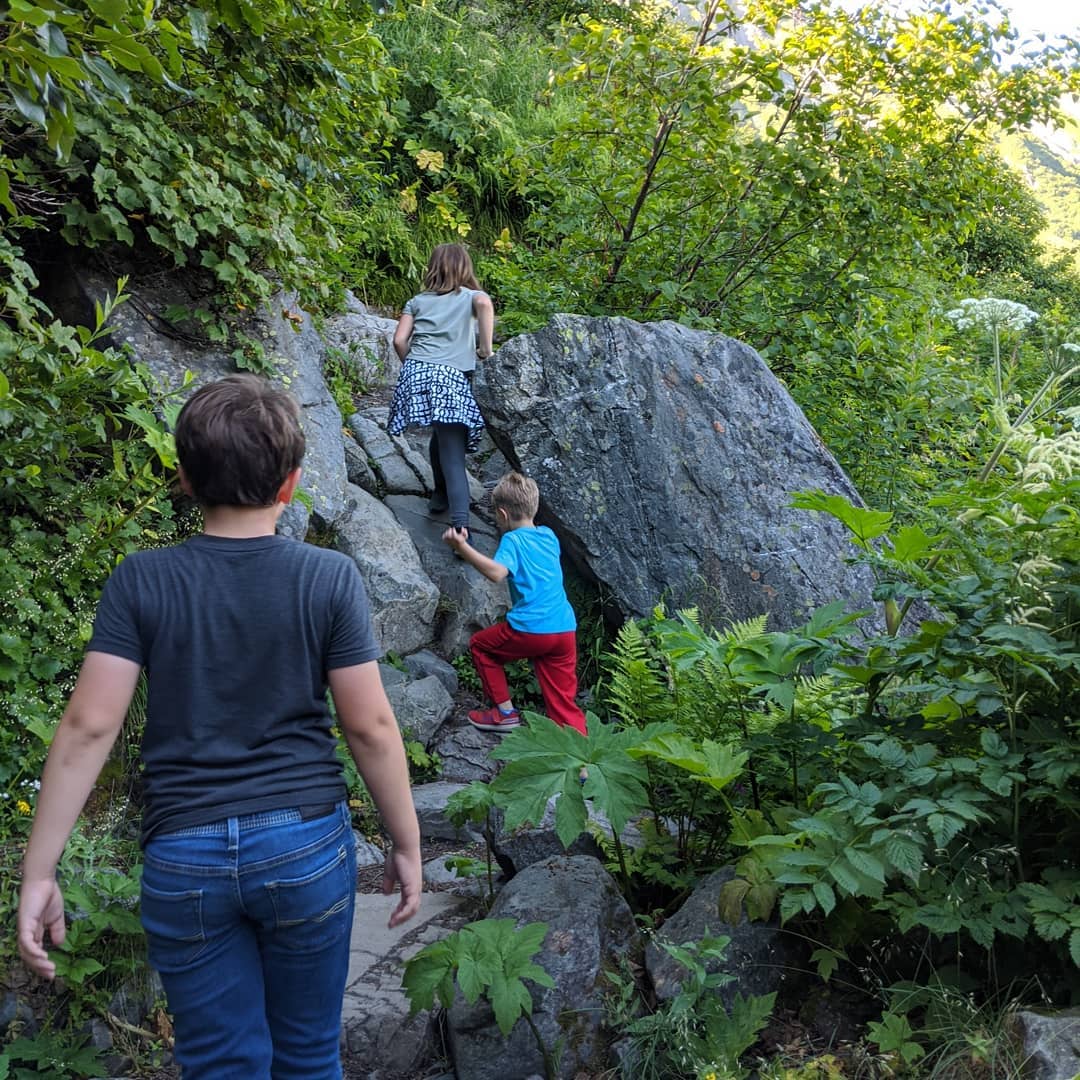
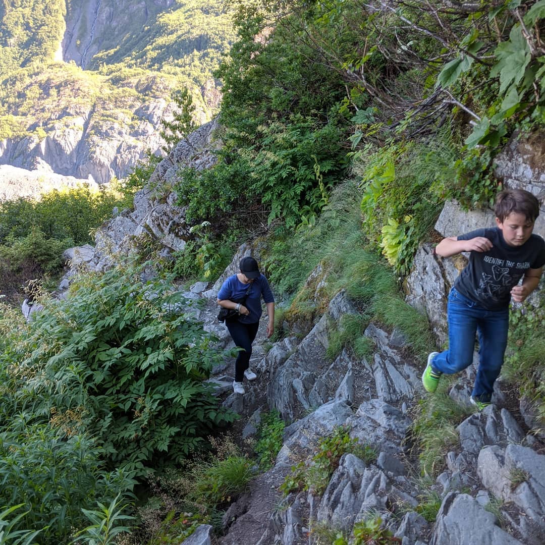

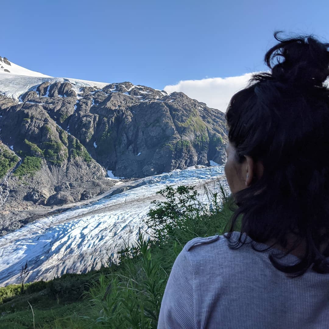
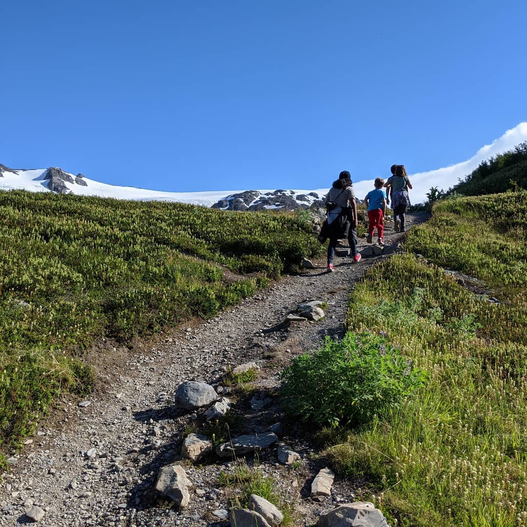
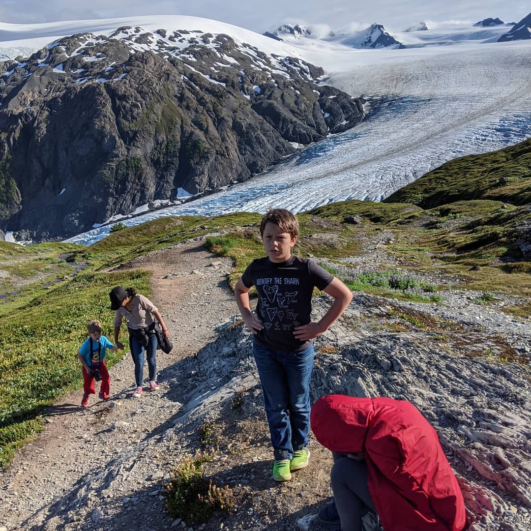
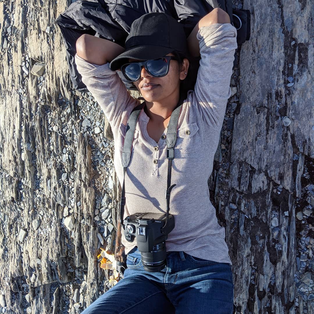
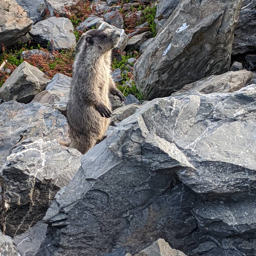
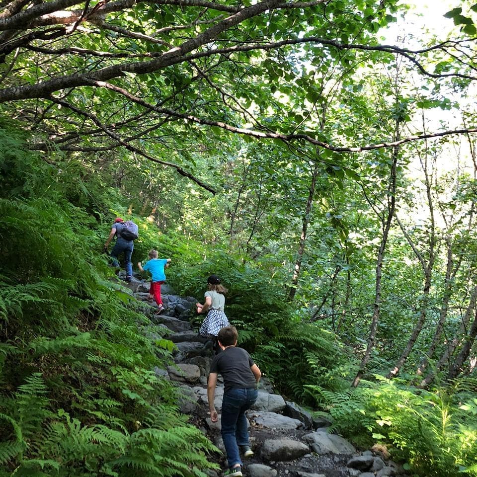
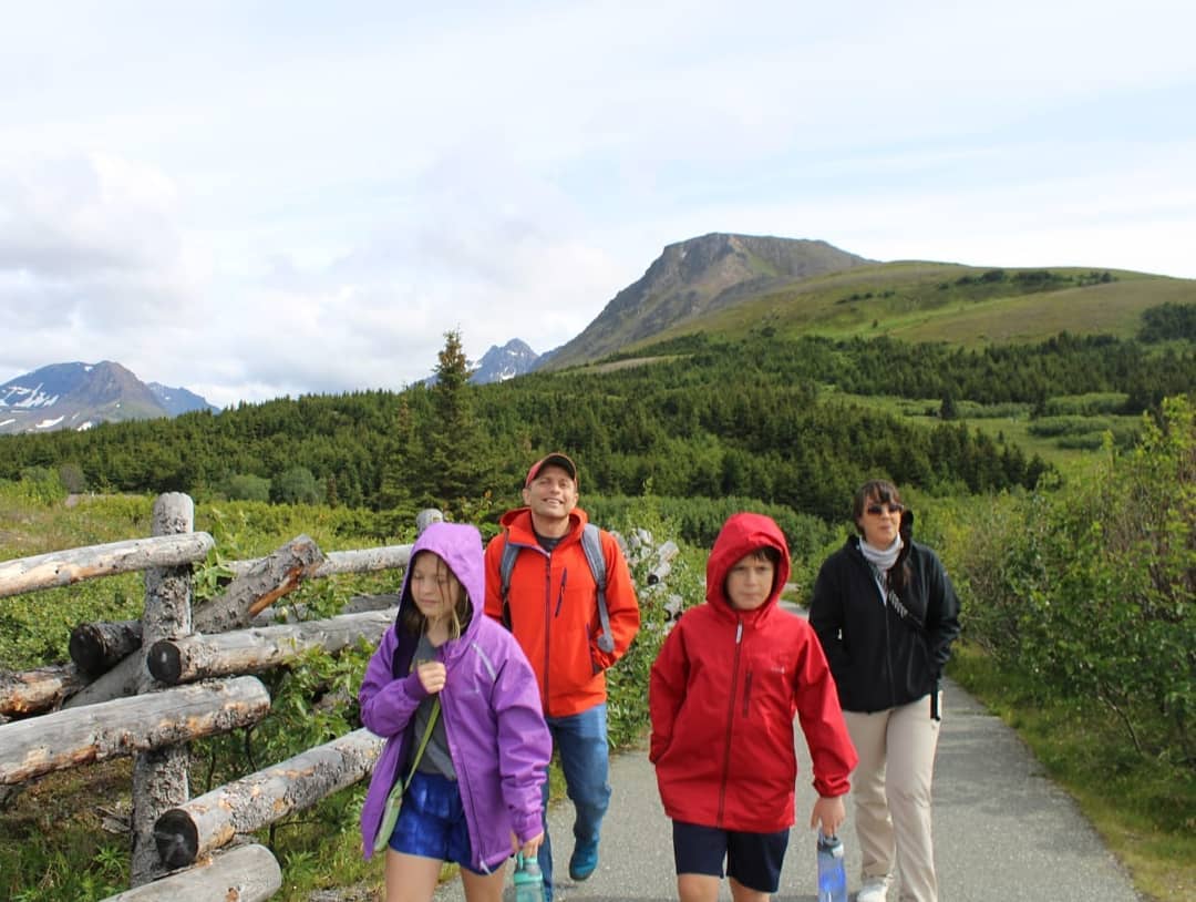
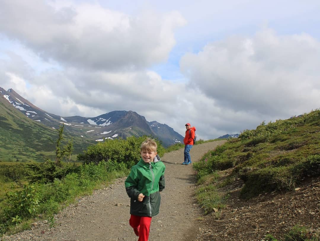
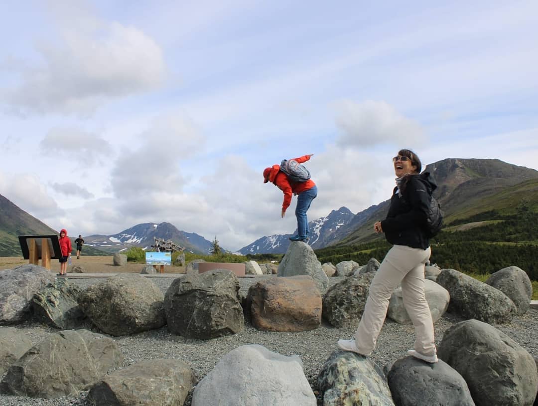
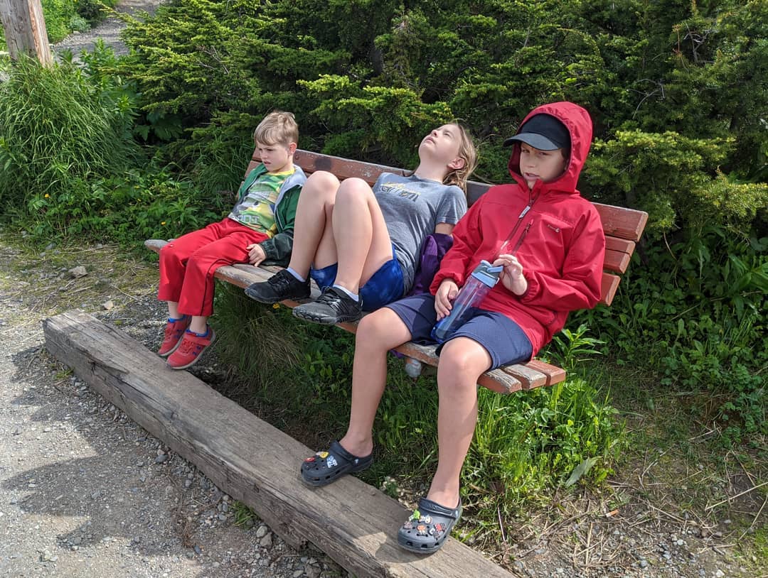
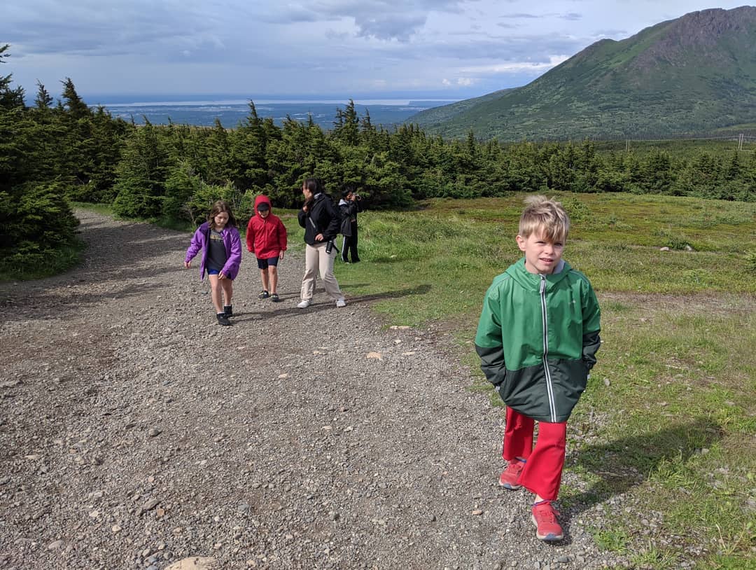
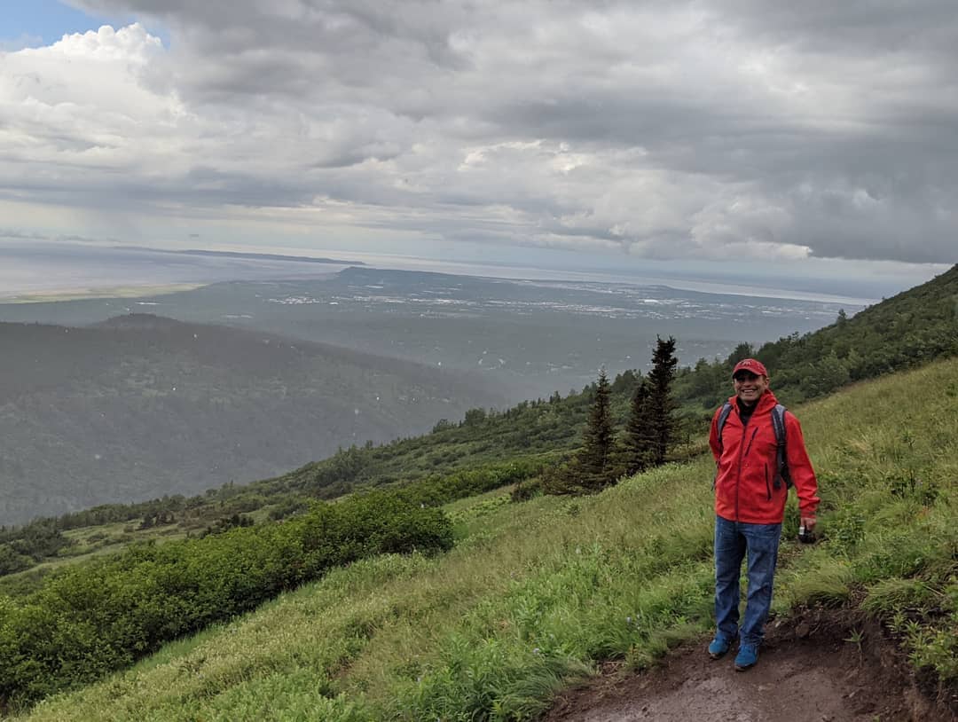
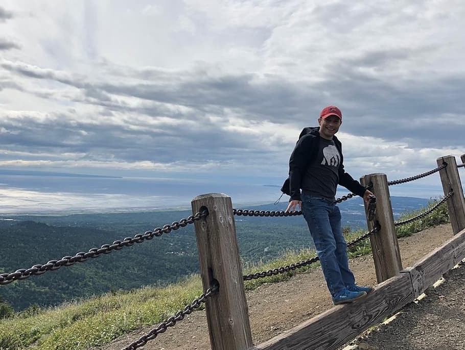
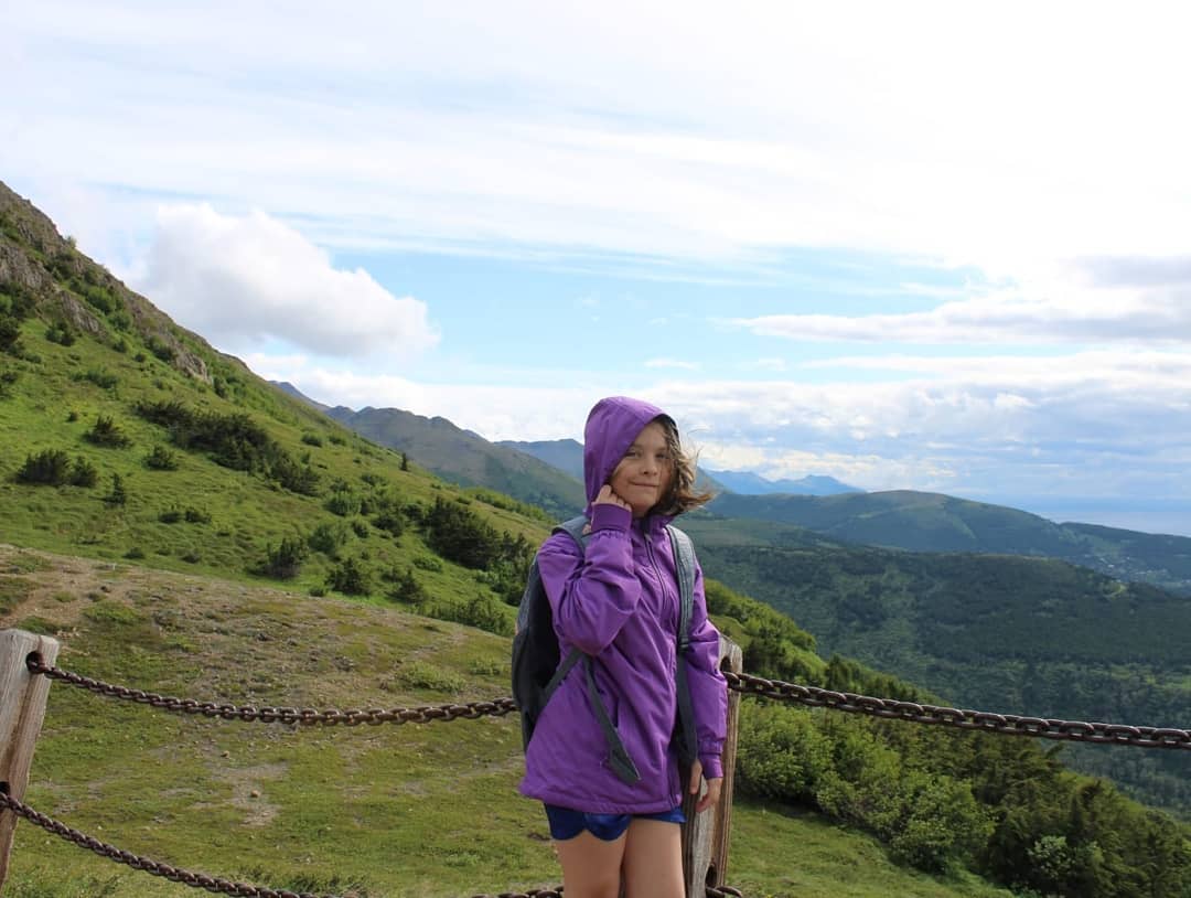
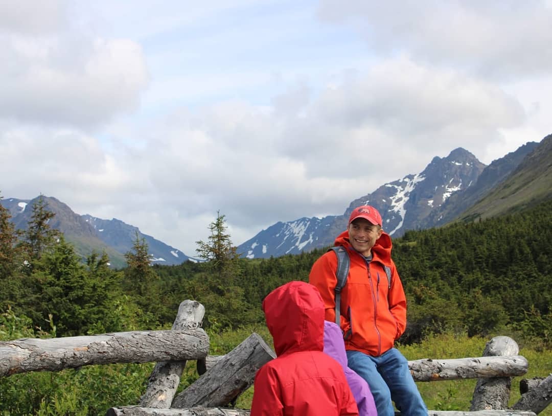
Afternoon hike at flattop mountain. @ Blueberry Loop Trail
📍 Blueberry Loop Trail, Anchorage, AK 99516 · map
Second Sunita COVID cut. I don't think I am ever going back to the barber. I mean, that's her fourth haircut ever and I think she does a pretty good job.
📍 Anchorage, Alaska, Anchorage is a unified home rule municipality in the U.S. state of Alaska. With an estimated 298,192 residents in 2016, it is Alaska's most populous city and contains more than 40 percent of the state's total population; among the 50 states, only New York has a higher percentage of residents who live in its most populous city. All together, the Anchorage metropolitan area, which combines Anchorage with the neighboring Matanuska-Susitna Borough, had a population of 401,635 in 2016.Anchorage is located in the south-central portion of Alaska at the terminus of the Cook Inlet on a peninsula formed by the Knik Arm to the north and the Turnagain Arm to the south. The city limits span 1,961.1sqmi which encompass the urban core, a joint military base, several outlying communities and almost all of Chugach State Park.Due to its location on the globe, being almost equidistant from New York City, Frankfurt, and Tokyo, Anchorage lies within 9 ½ hours by air to nearly 90% of the industrialized world. For this reason, the Anchorage International Airport is a common refueling stop for many international flights and is home to a major FedEx Hub which the company calls a "critical part" of its global network of services. · map

Outside our house tonight
📍 Anchorage, Alaska, Anchorage is a unified home rule municipality in the U.S. state of Alaska. With an estimated 298,192 residents in 2016, it is Alaska's most populous city and contains more than 40 percent of the state's total population; among the 50 states, only New York has a higher percentage of residents who live in its most populous city. All together, the Anchorage metropolitan area, which combines Anchorage with the neighboring Matanuska-Susitna Borough, had a population of 401,635 in 2016.Anchorage is located in the south-central portion of Alaska at the terminus of the Cook Inlet on a peninsula formed by the Knik Arm to the north and the Turnagain Arm to the south. The city limits span 1,961.1sqmi which encompass the urban core, a joint military base, several outlying communities and almost all of Chugach State Park.Due to its location on the globe, being almost equidistant from New York City, Frankfurt, and Tokyo, Anchorage lies within 9 ½ hours by air to nearly 90% of the industrialized world. For this reason, the Anchorage International Airport is a common refueling stop for many international flights and is home to a major FedEx Hub which the company calls a "critical part" of its global network of services. · map
These two... Amelie gave me a hug and said: Your hair smells nice. <Pauses> Well what you have of your hair <runs off laughing and flapping her arms like a chicken>
Saul discovered Zobmondo at the old house and really liked the would you rather questions.
Saul: Would you rather date someone that always talks loudly or someone that constantly looks like they are staring? <Slight pause> Claudia, I guess you already made your choice.

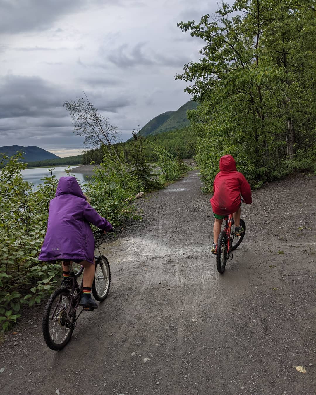
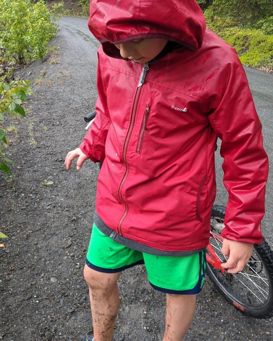
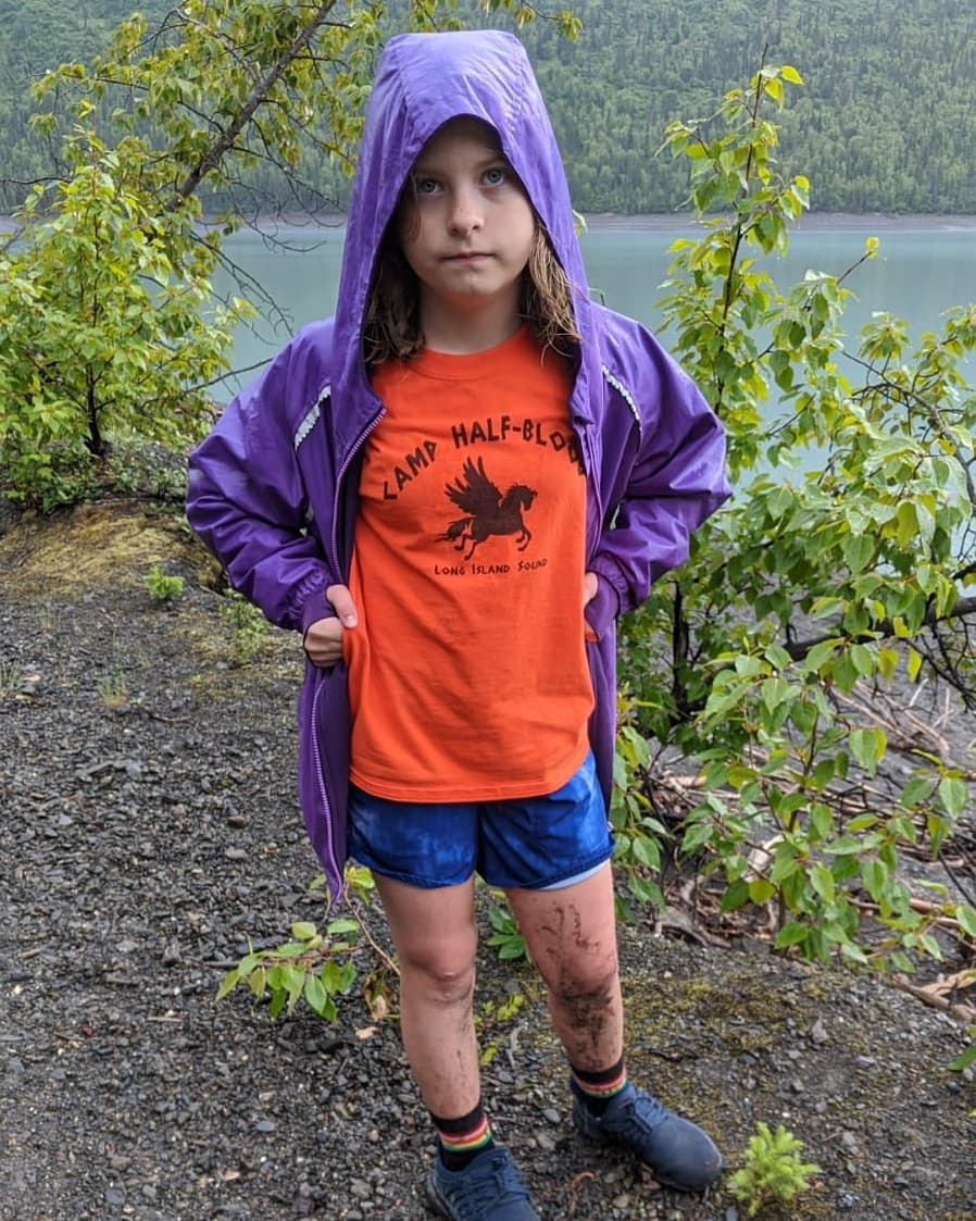
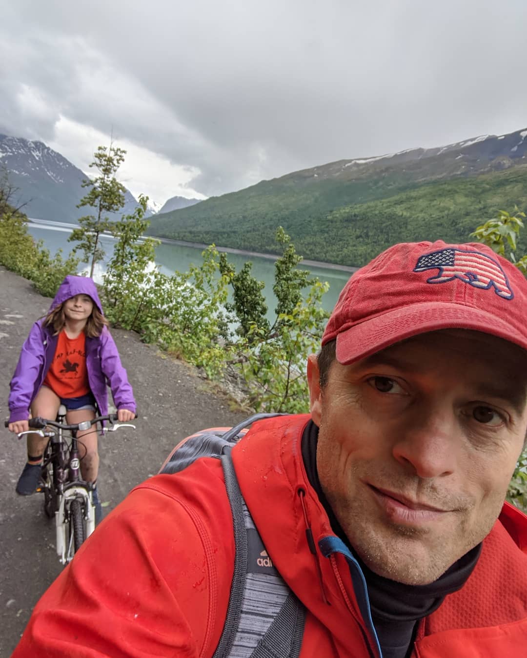
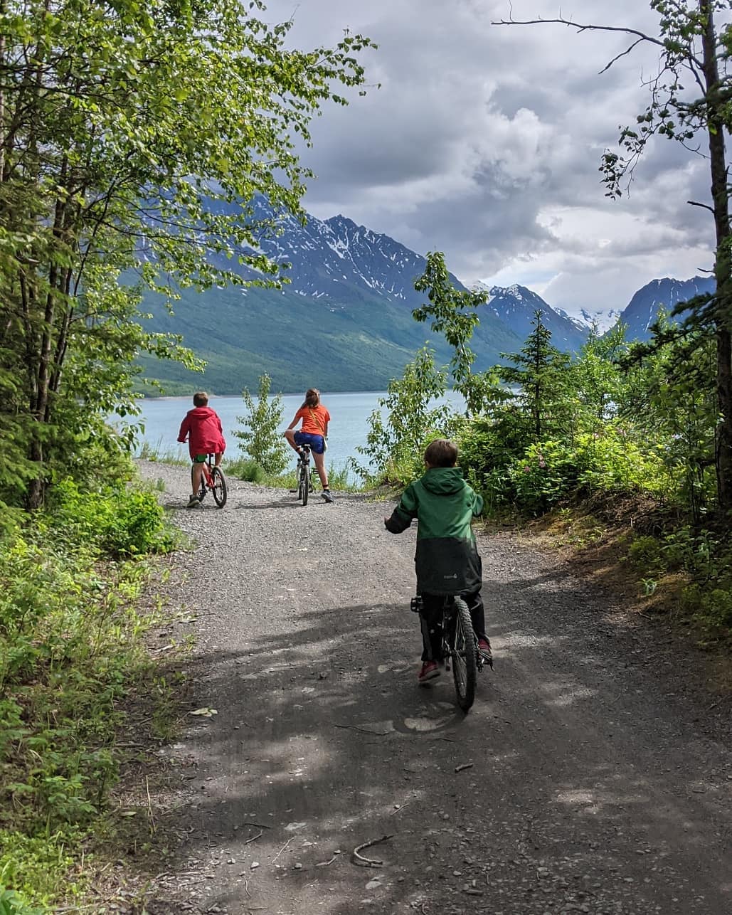
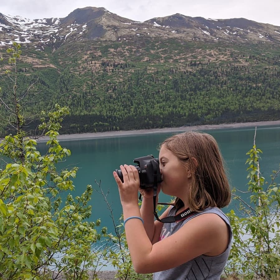
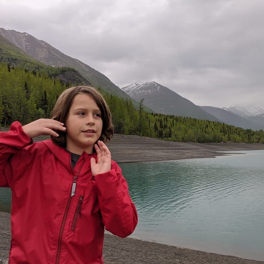
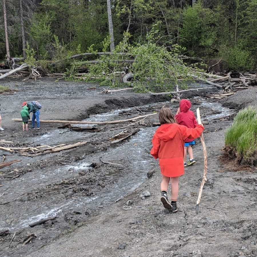
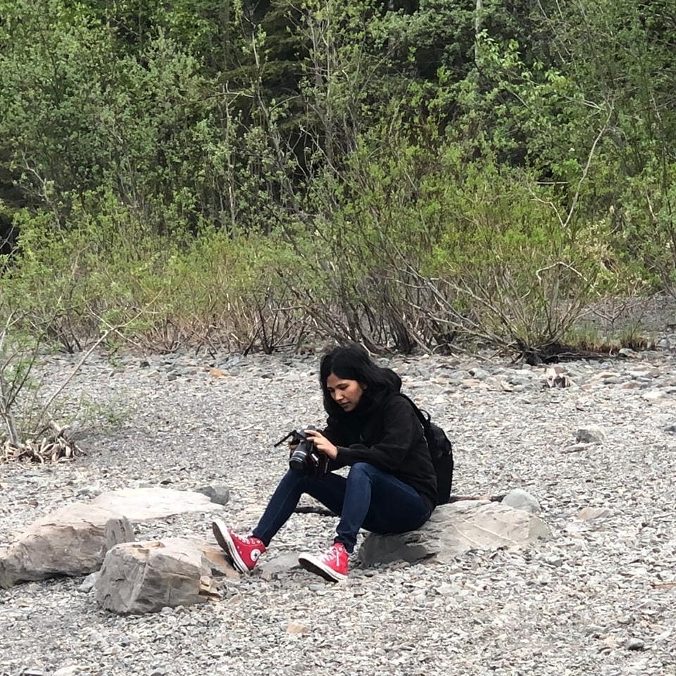
A couple of weeks ago we set out to ride to Eklutna glacier. I think I bit off a bit more than we could chew. It was a cold day and it also rained on us some. We did over a 16 mile round trip and never got to where we could see the glacier. That said, it was a beautiful ride. @ Eklutna Lake Twin Peak Trail
📍 Eklutna Lake Twin Peak Trail, Anchorage, AK · map

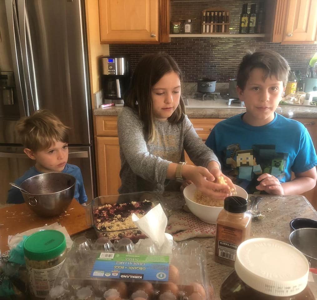
Blueberry crumble!
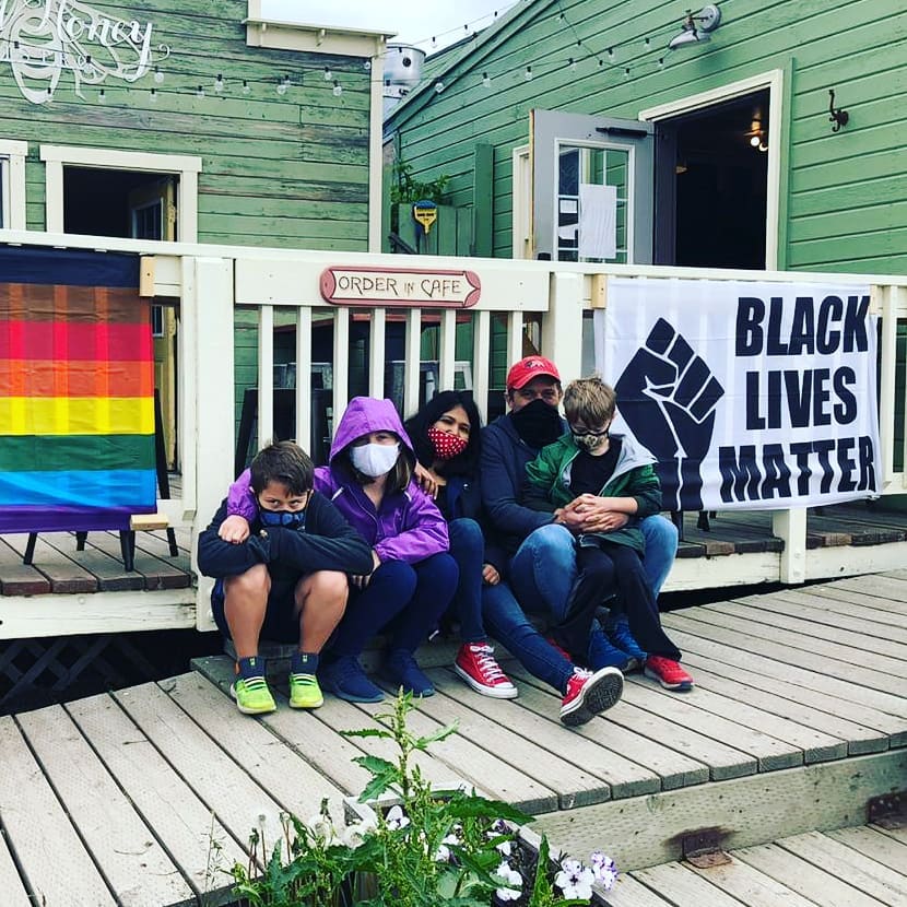
Just because we are spending the summer hiking around Alaska doesn't mean we aren't appalled by police impunity and racism. Freedom. Justice. BLM.
📍 Homer, Alaska, Homer, AK 99603 · map
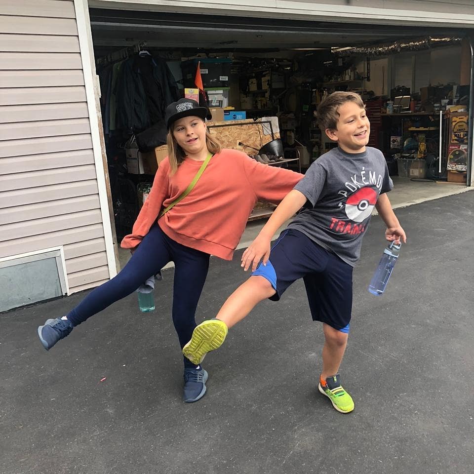
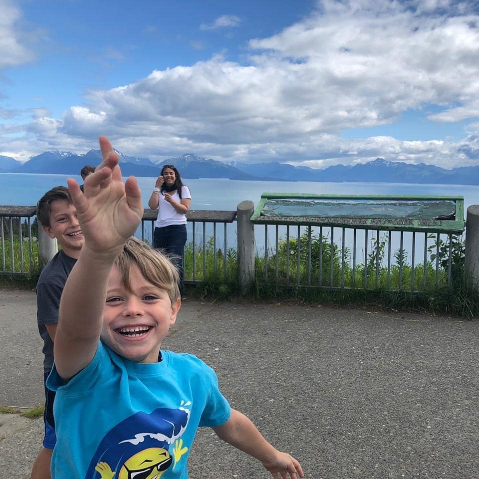
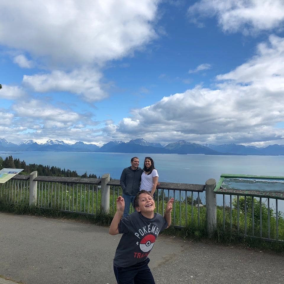
Overnight trip to Homer. Lots of photo bombing. Lots of fun.
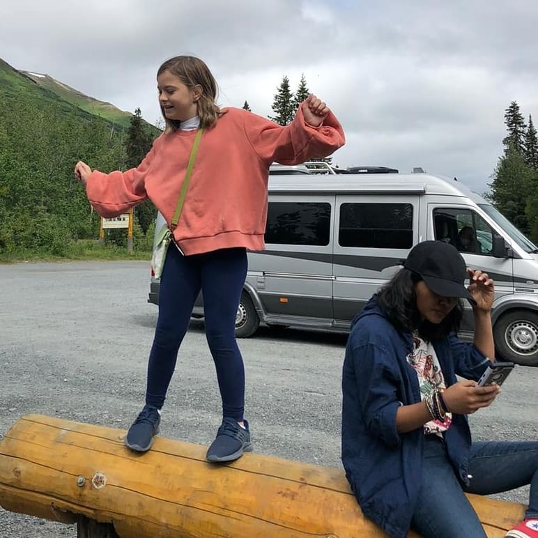
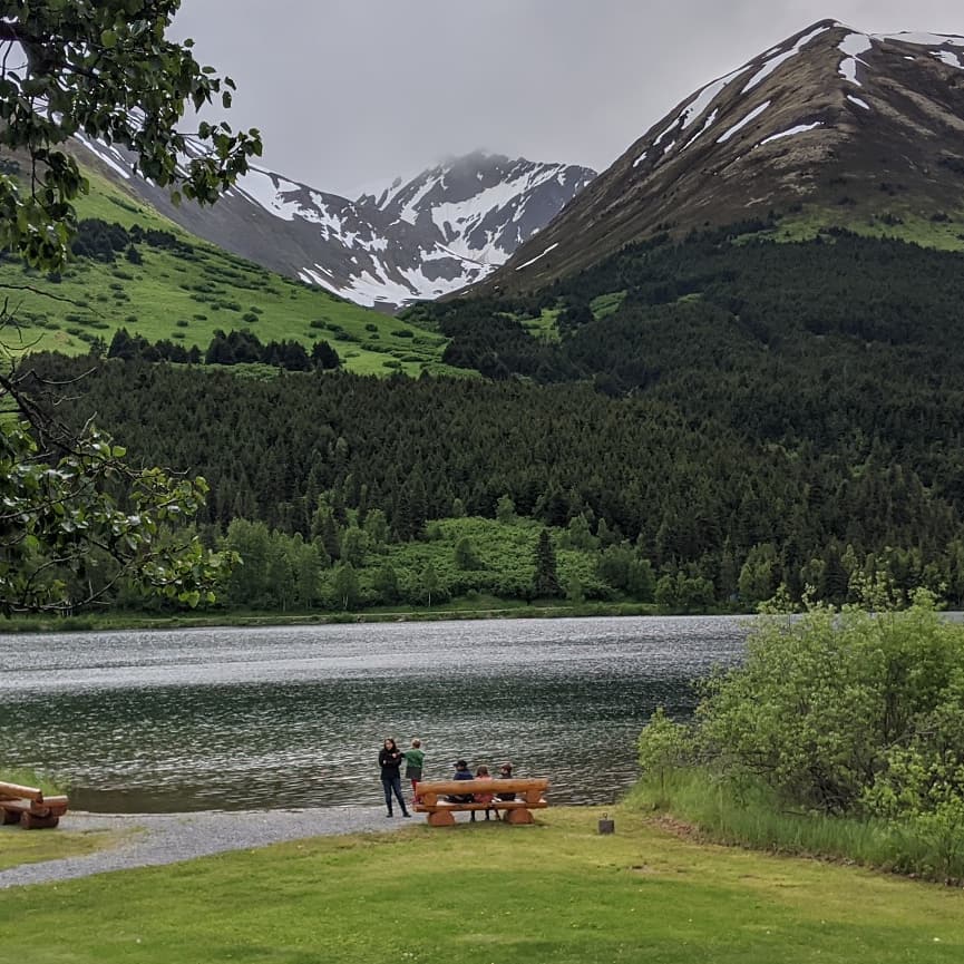
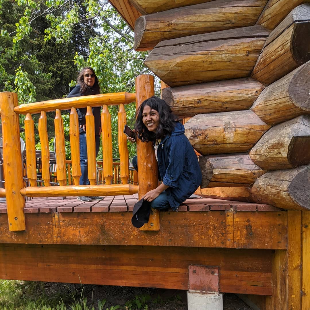

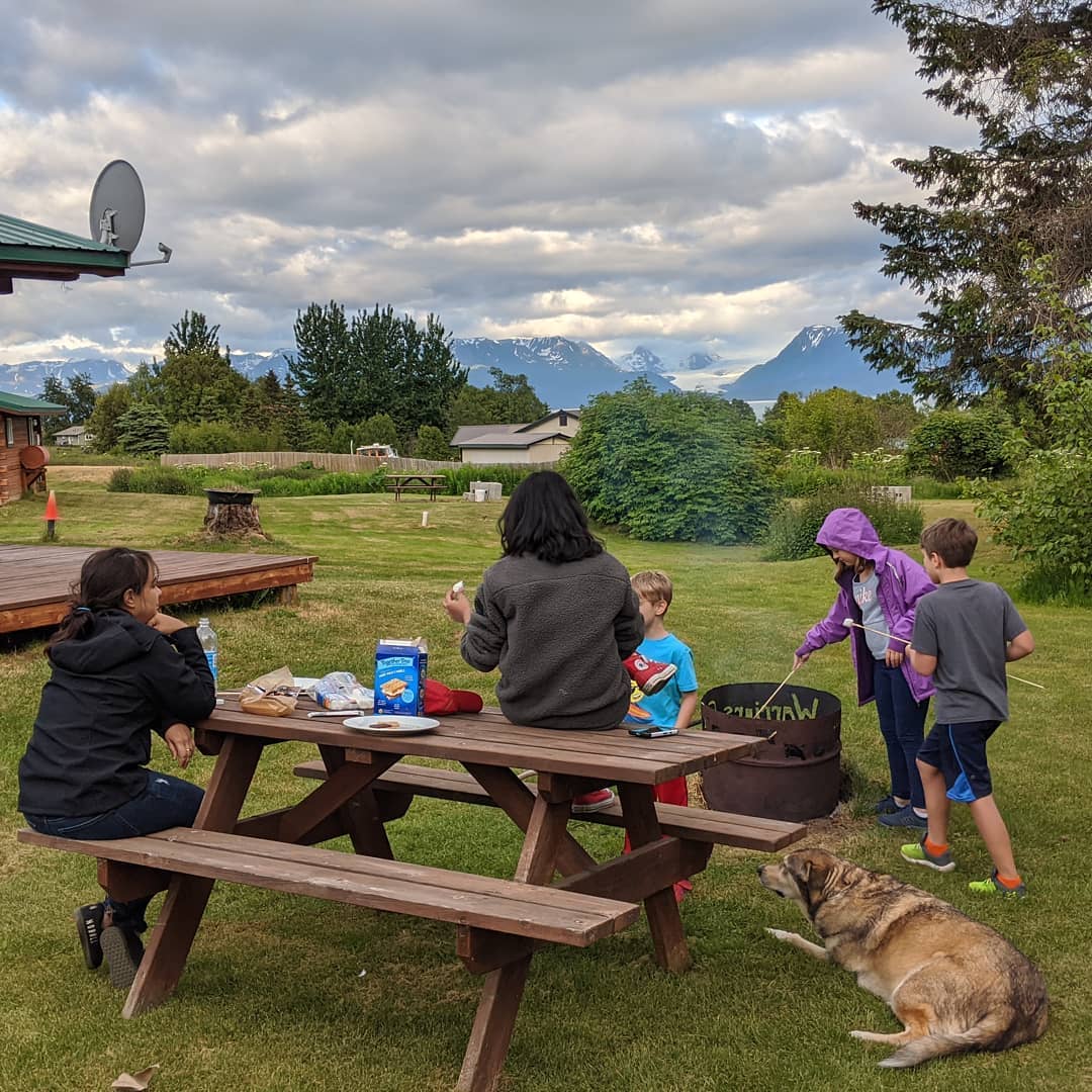
Cabin with a glacier view, fire pit for smores, and a dog even came with the place.
Climbing some rocks
Testing out the strength of Mr. Stick (yes, that is his name as per Mr. Truman)
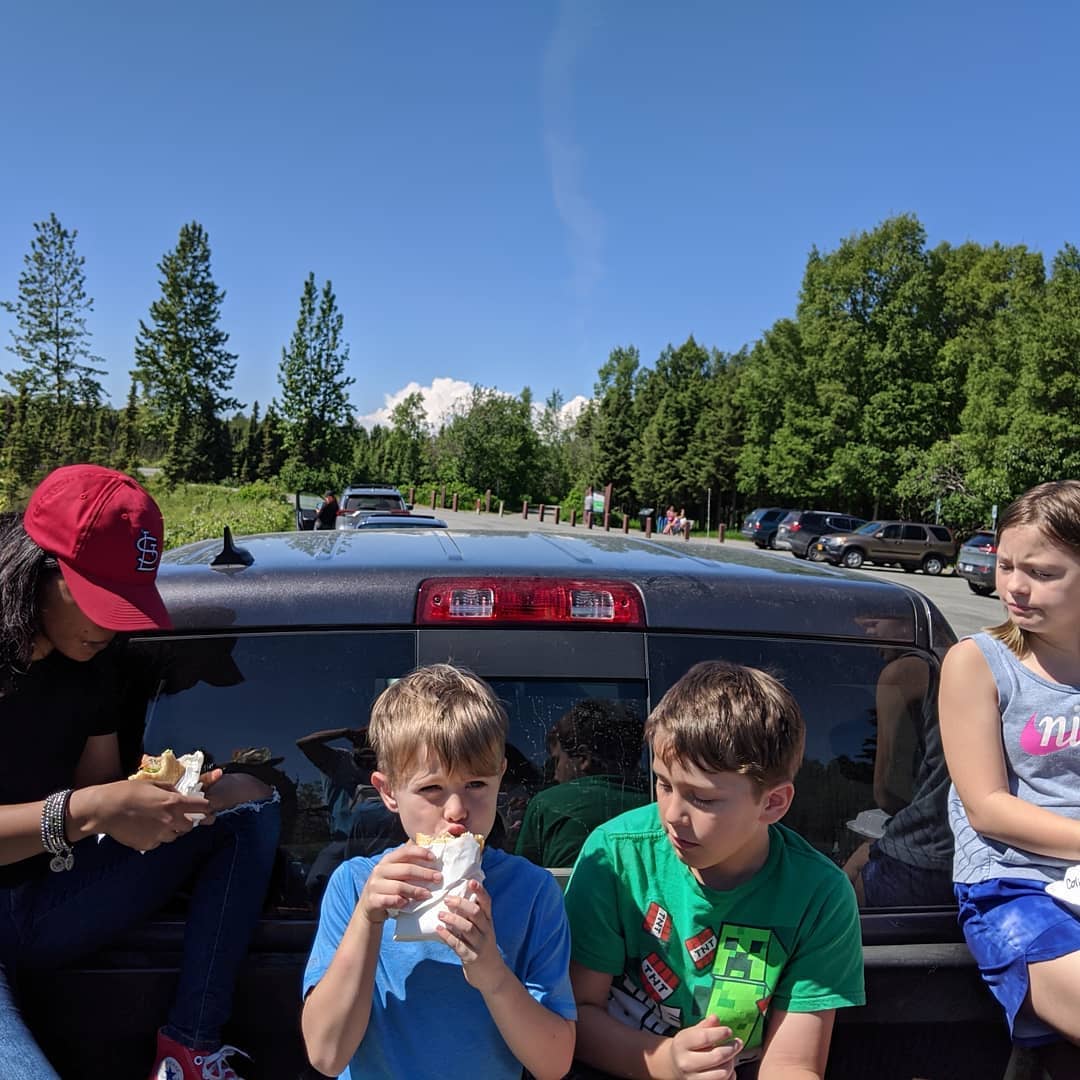
More parking lot pickup truck dining
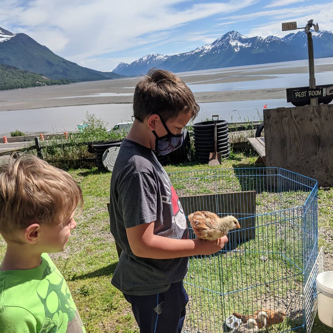
And on top of the island at beluga point
📍 Beluga Point, Beluga Point Site (49ANC-054) is an archaeological location along Turnagain Arm of Cook Inlet, near Seward Highway Milepost 110, south of Anchorage, in the U.S. state of Alaska. It was added to the National Register of Historic Places on March 30, 1978. · map
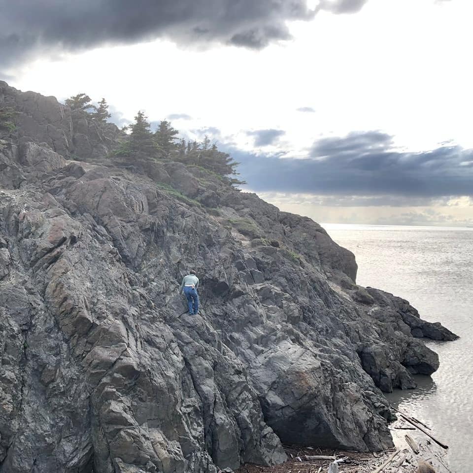

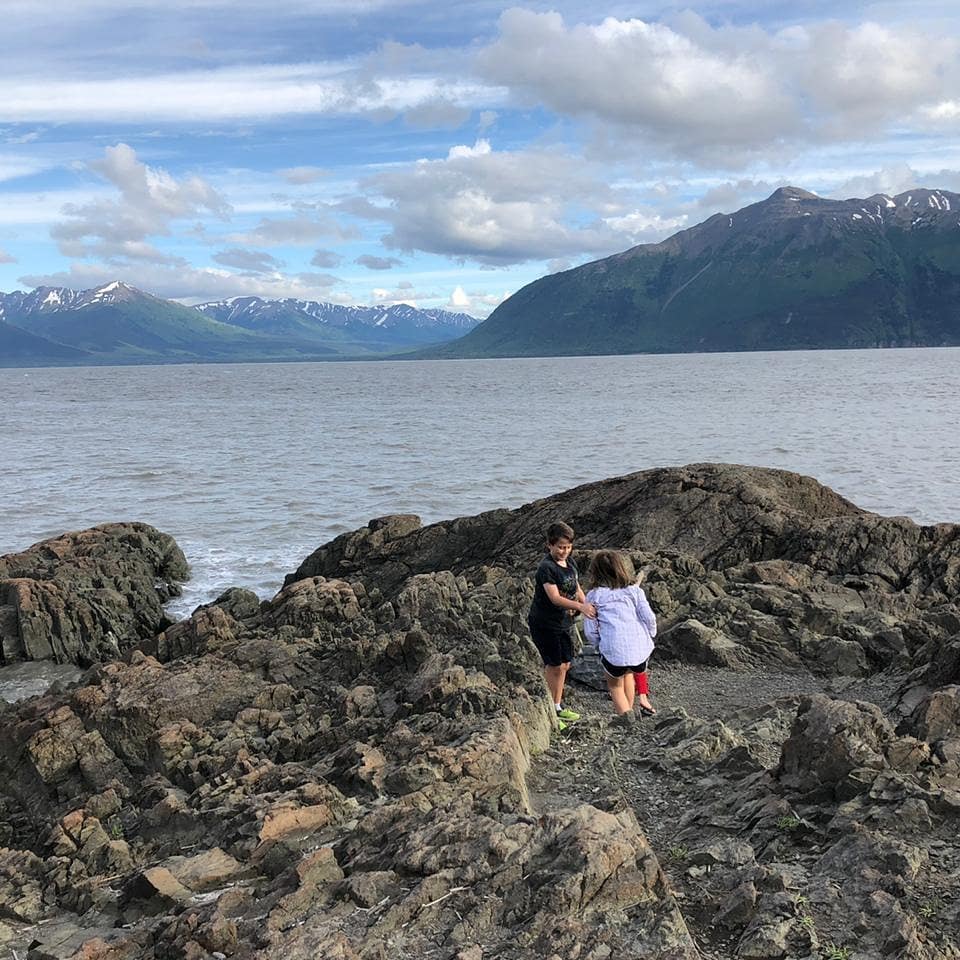
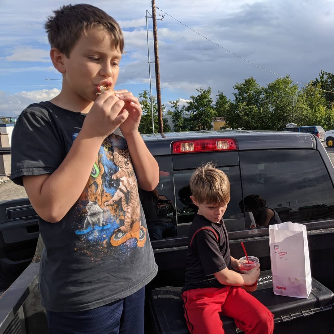
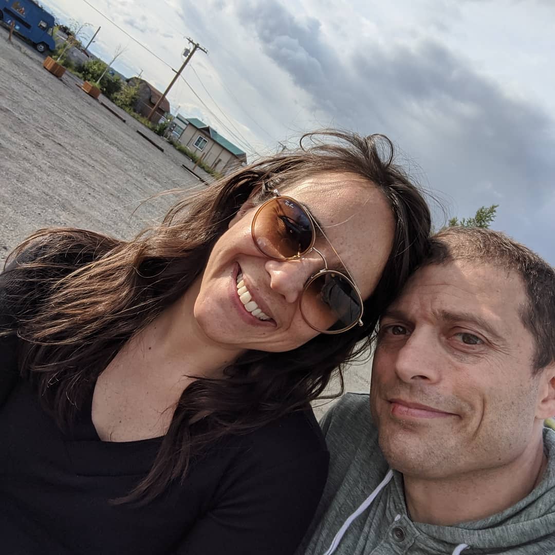
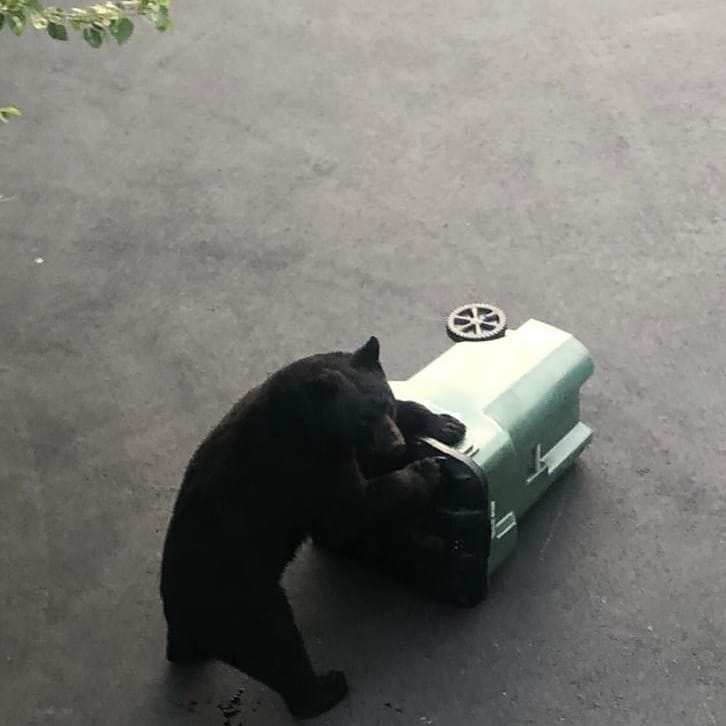
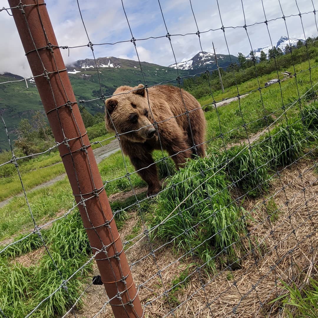
More shots from hikes and bikes. Saw two bears in three days in the wild. The pic is from a trip to an animal conservation park as we didn't get any of the ones we saw when out and about. @ Alaska Wildlife Conservation Center
📍 Alaska Wildlife Conservation Center, Mile 79 Seward Highway, Anchorage, AK 99587 · map

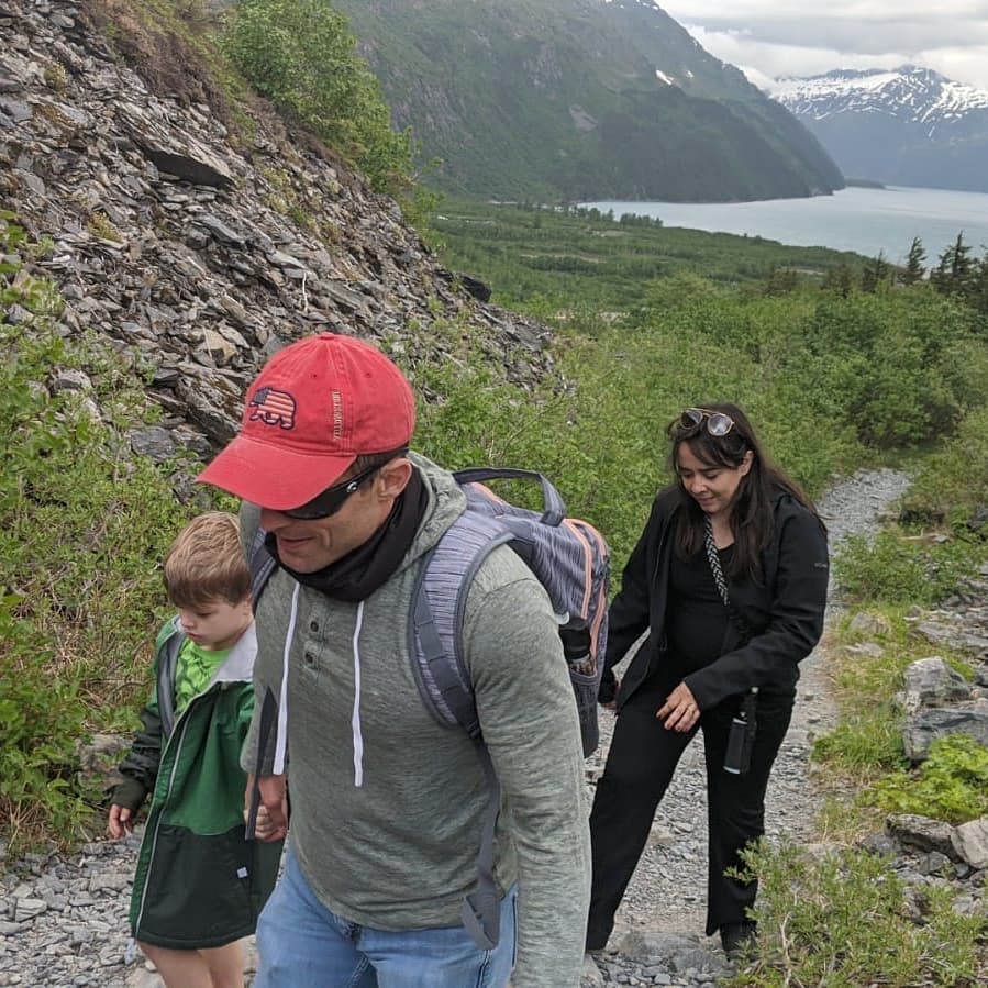
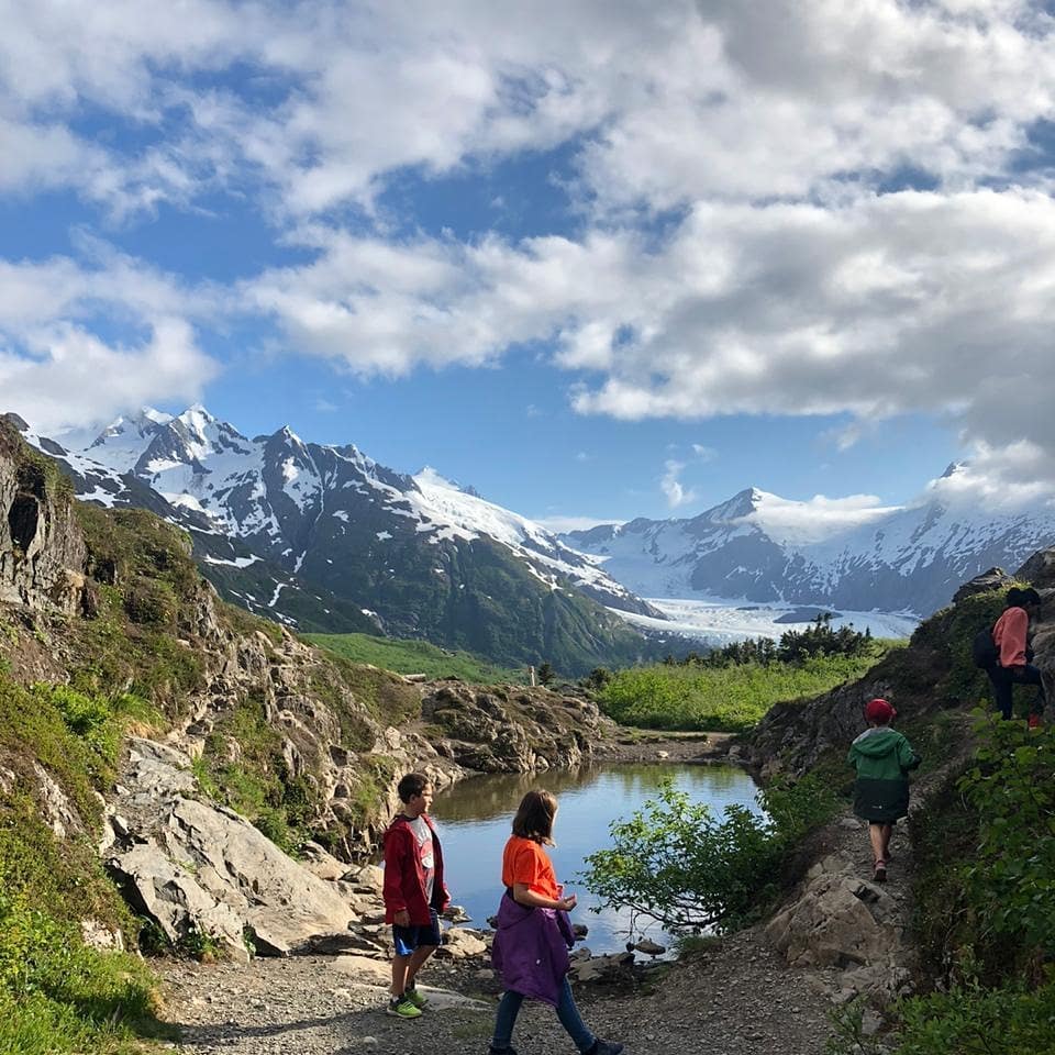
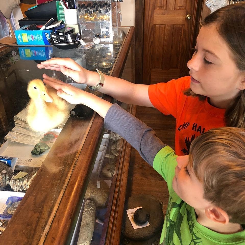
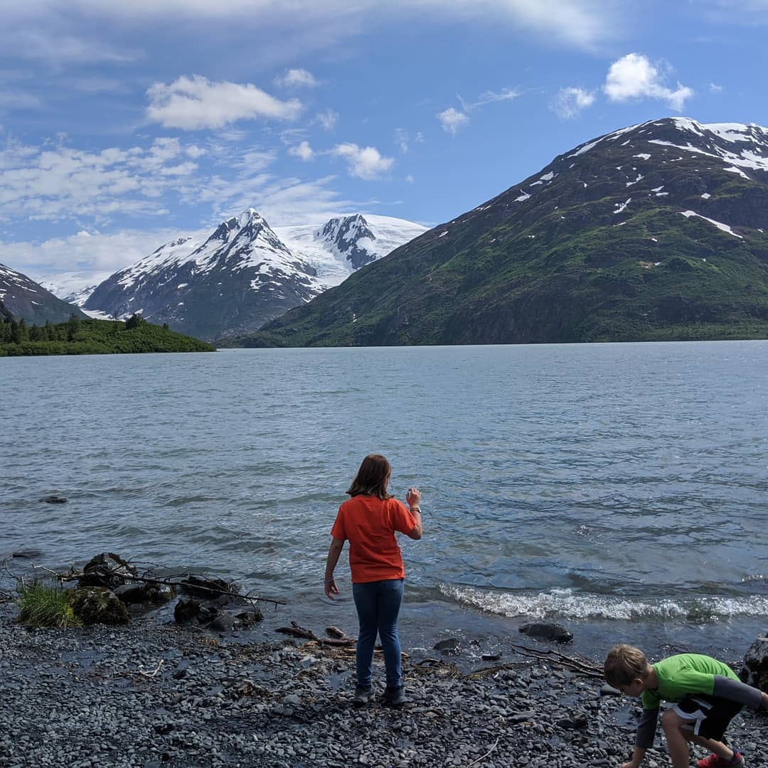
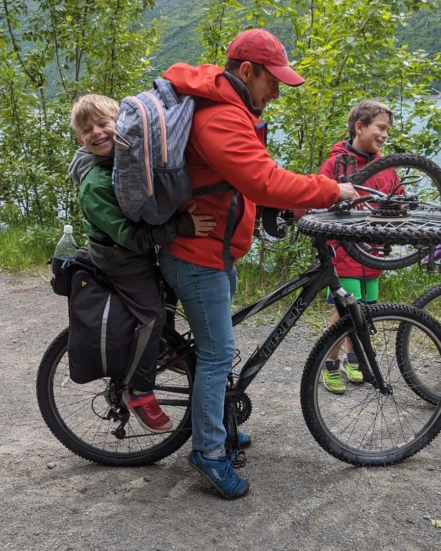
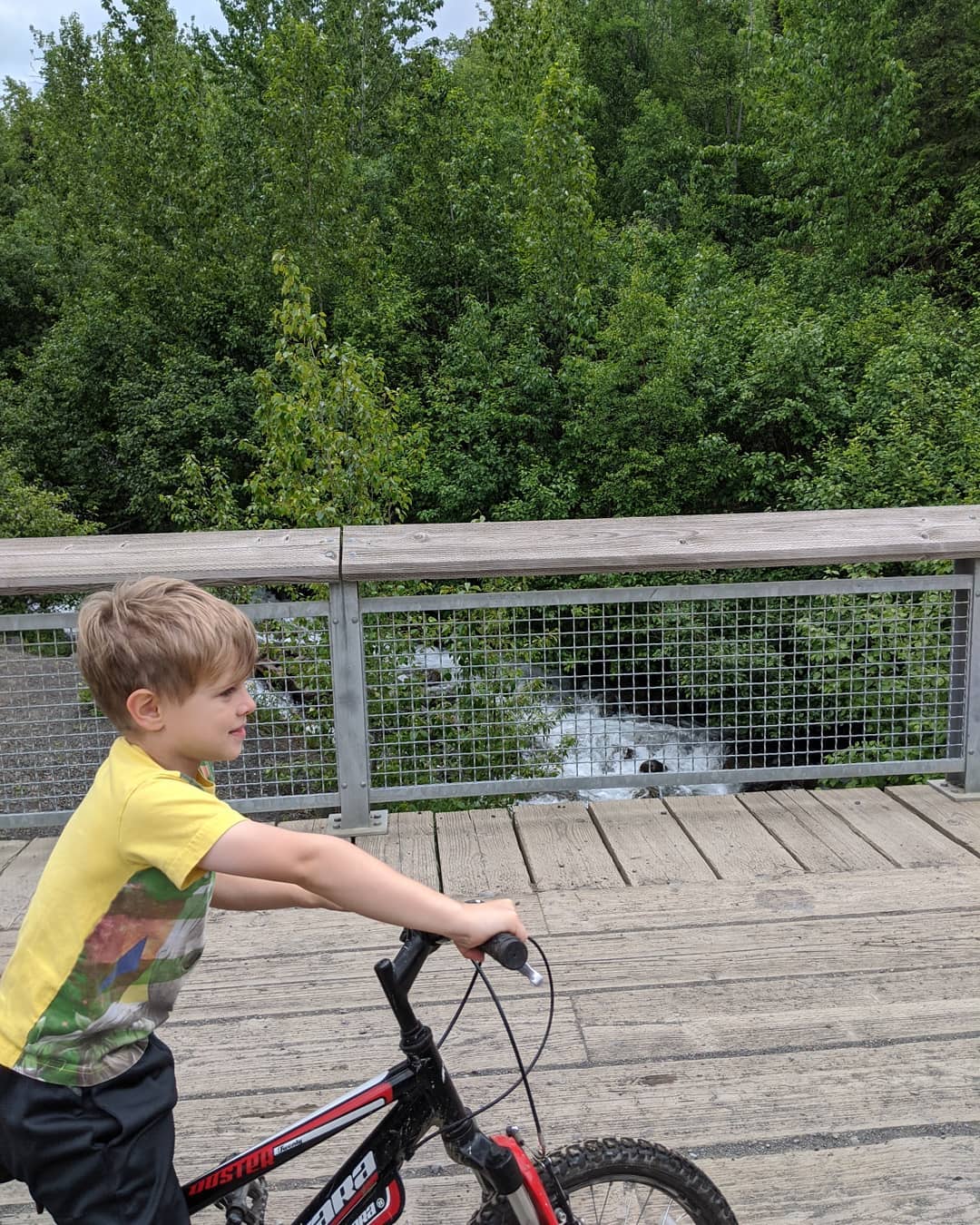
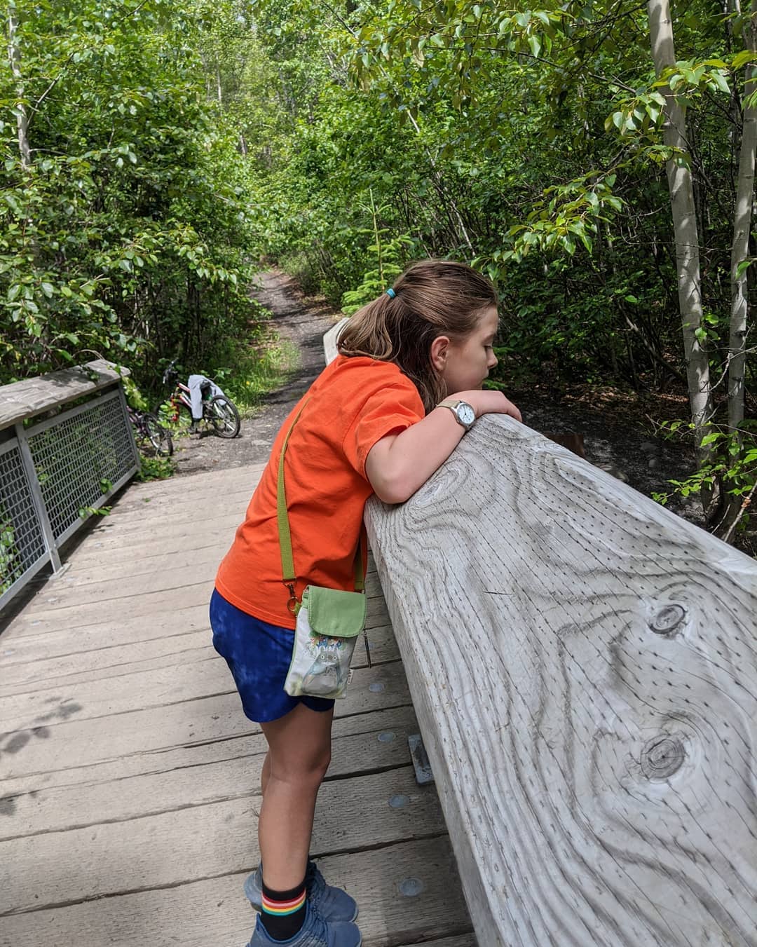
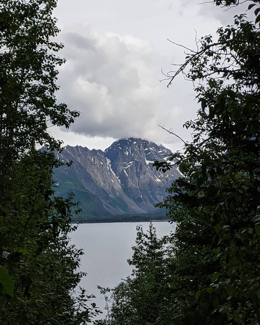
It's been hikes and bike rides galore. Loving our truck as we can now take our bikes everywhere. @ Anchorage, Alaska
📍 Anchorage, Alaska, Anchorage, AK 99501–99524, 99529-99530, 99599 · map
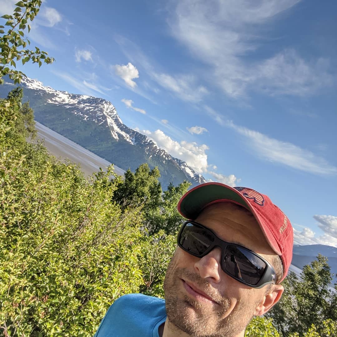
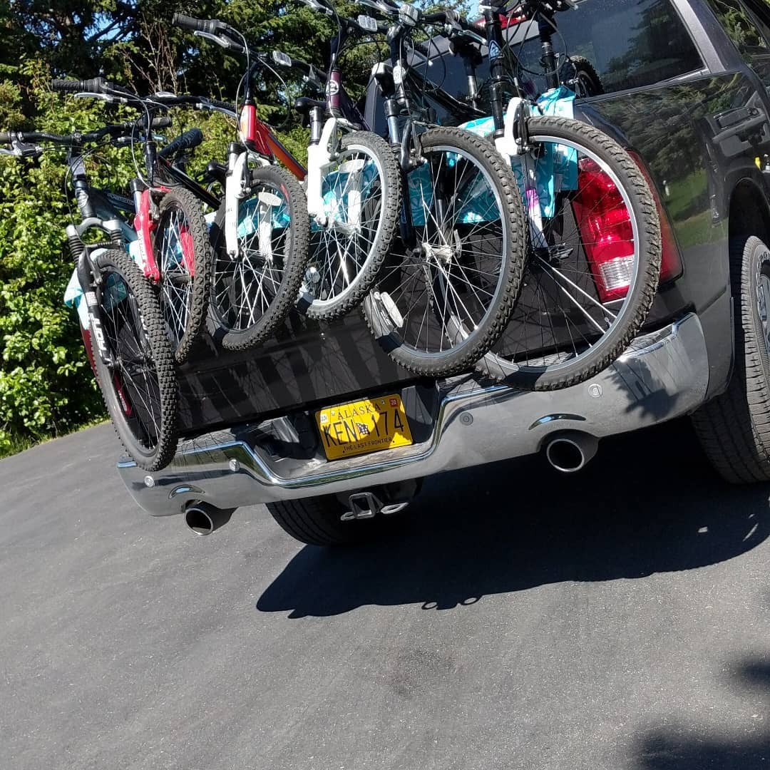
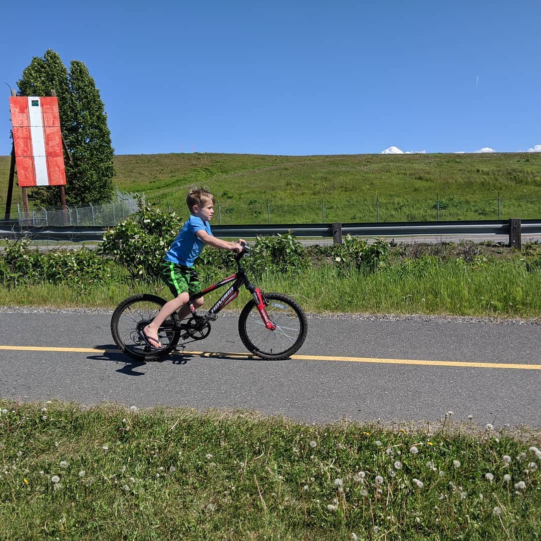
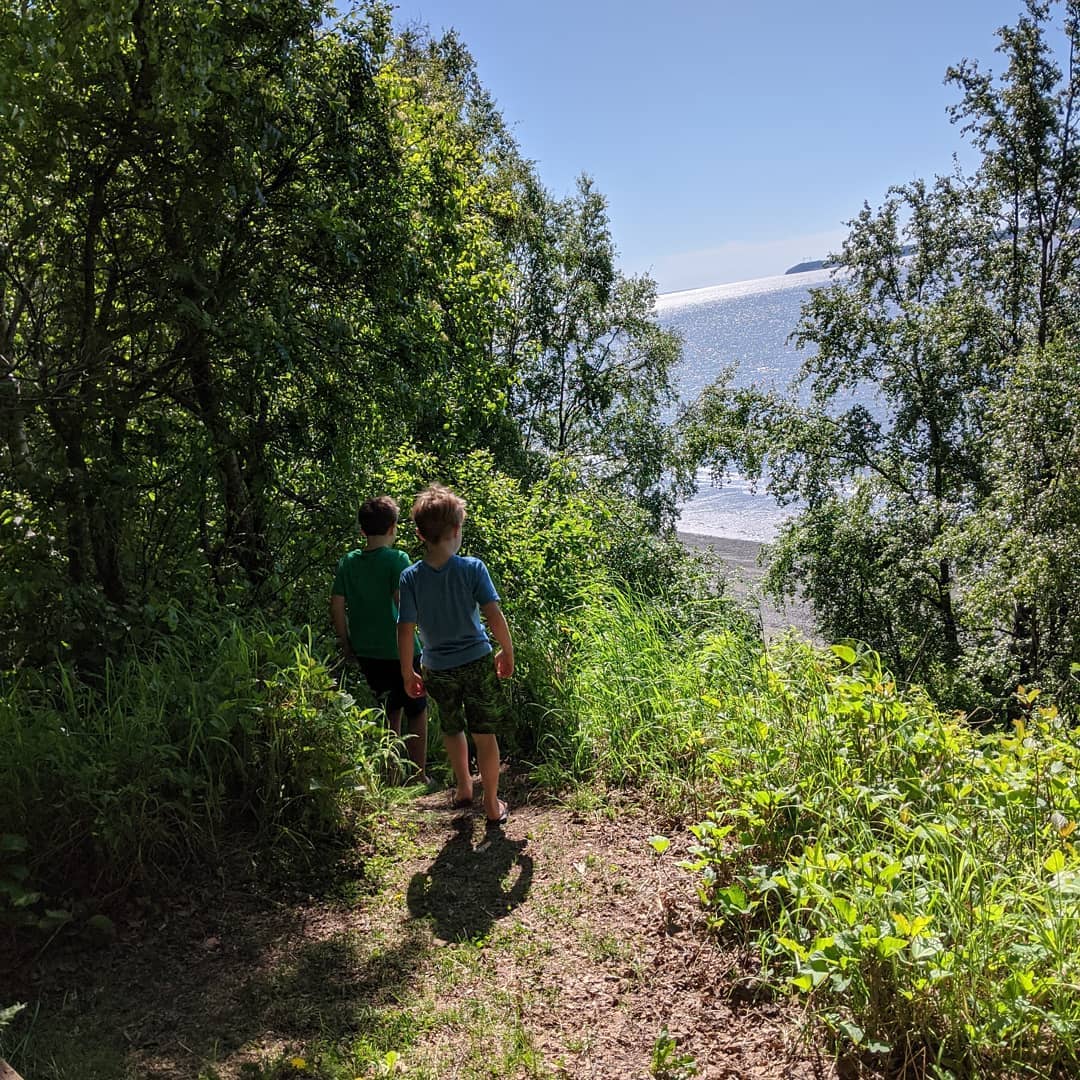
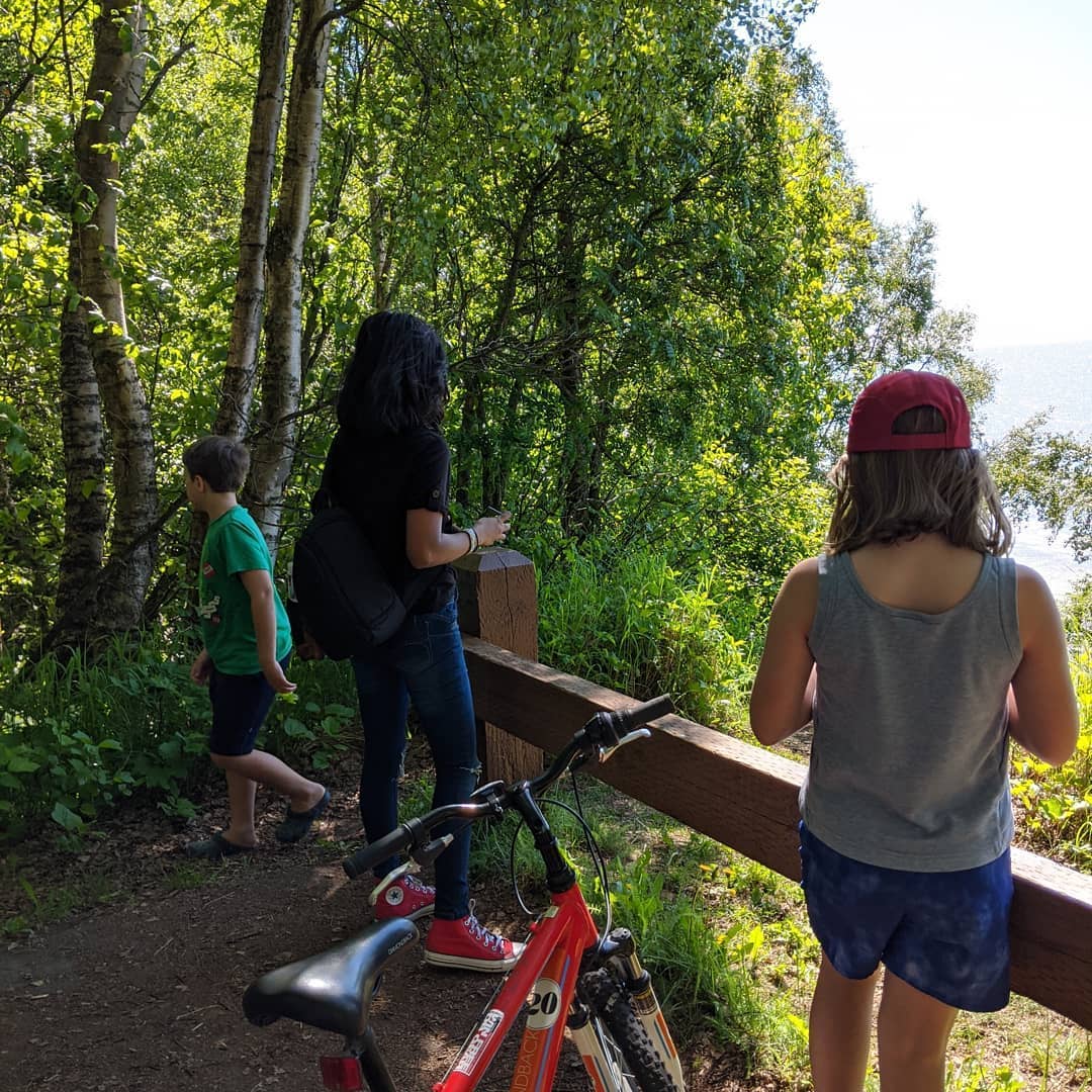
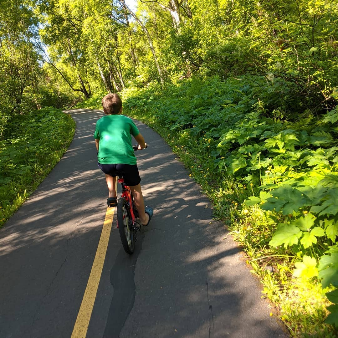
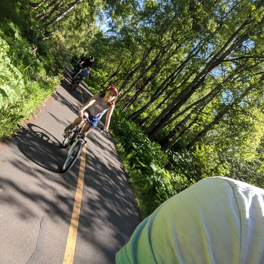
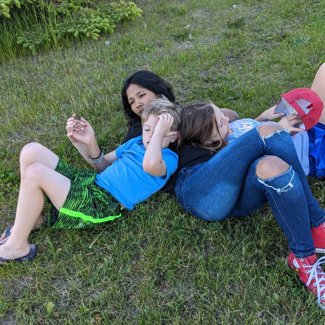
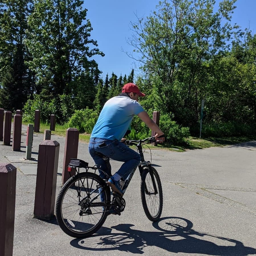
Great ride with Claudia and the kids today. Second bear sighting in three days. Alaskan social distancing summer.
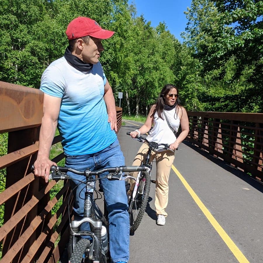
Afternoon hike
#alotofme
@ McHugh Creek
📍 McHugh Creek, 111 Seward Highway, Anchorage, AK 99516 · map
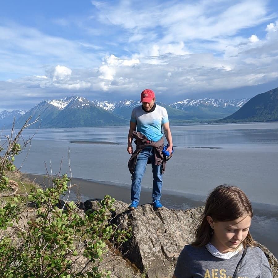
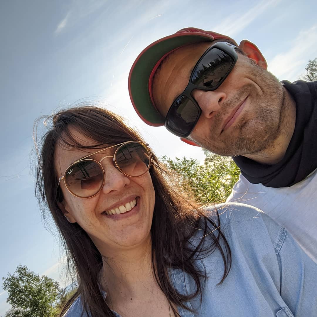
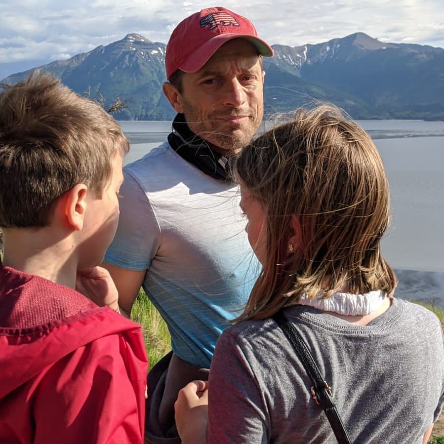

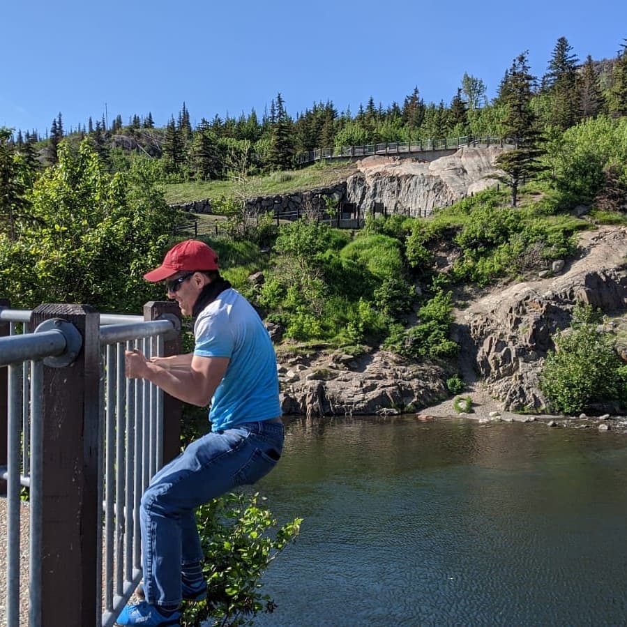
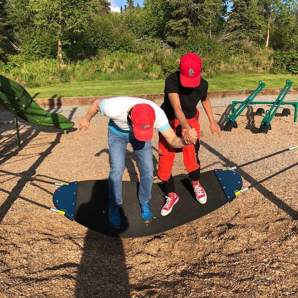
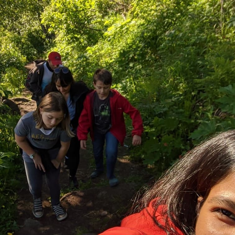
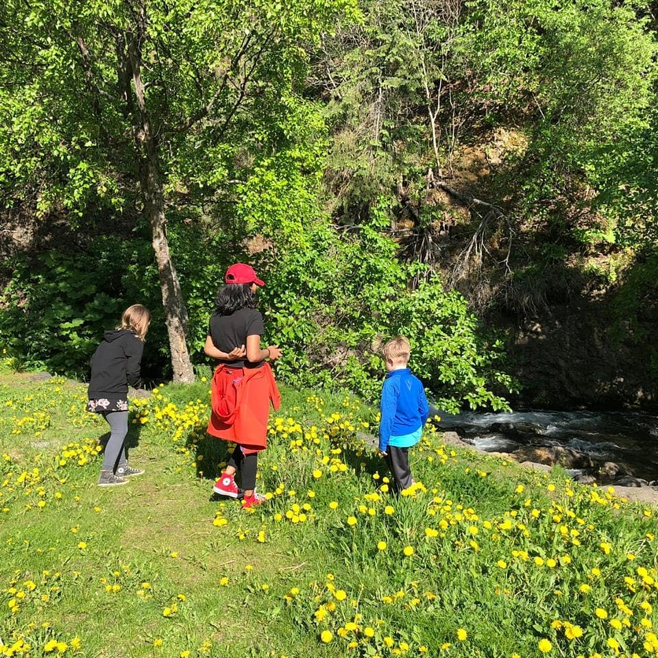

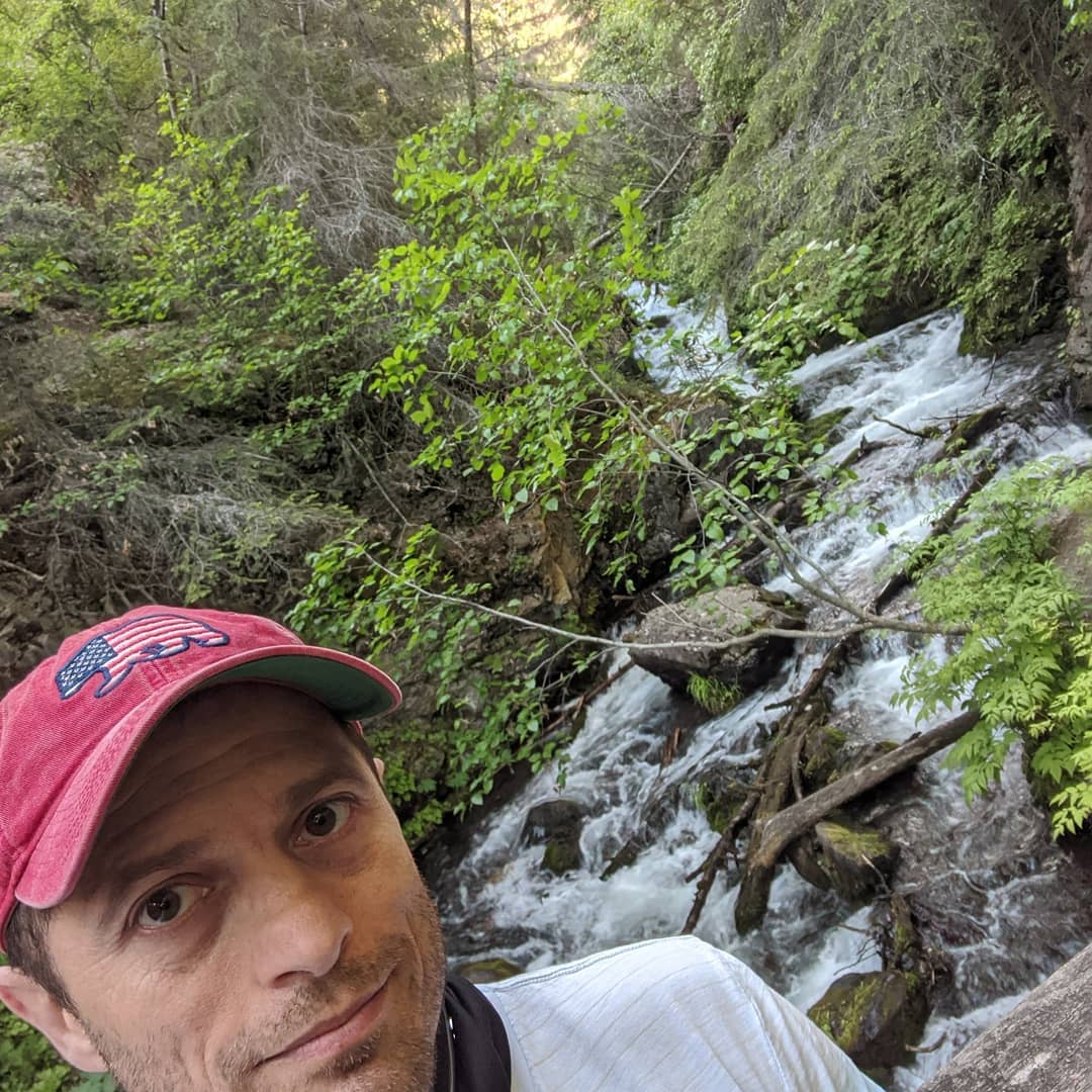
A few pictures from our Saturday trip to Hatcher's pass and Wassila. @ Hatcher Pass
📍 Hatcher Pass, 8380 North Palmer Fishhook Road, Palmer, AK 99646 · map
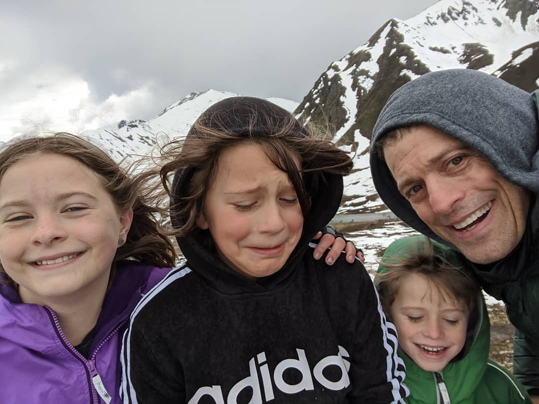
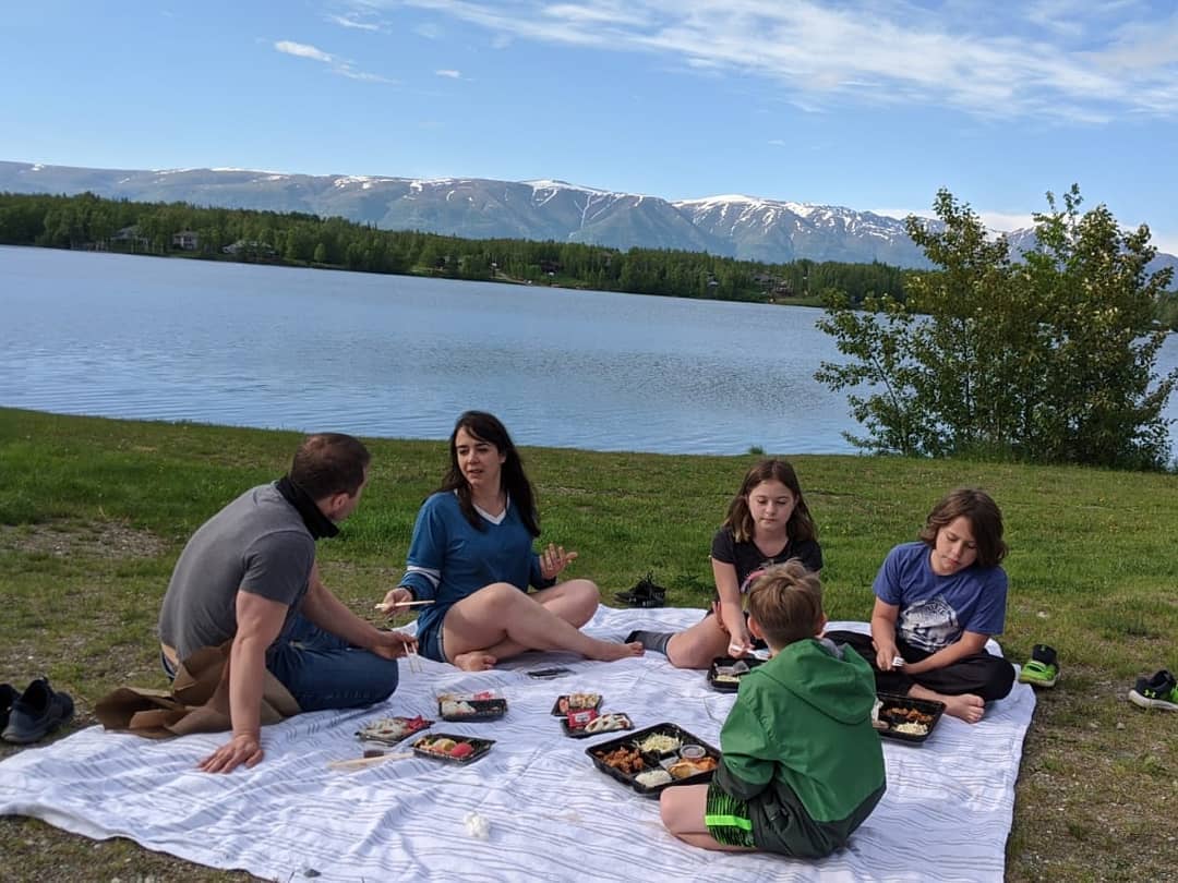

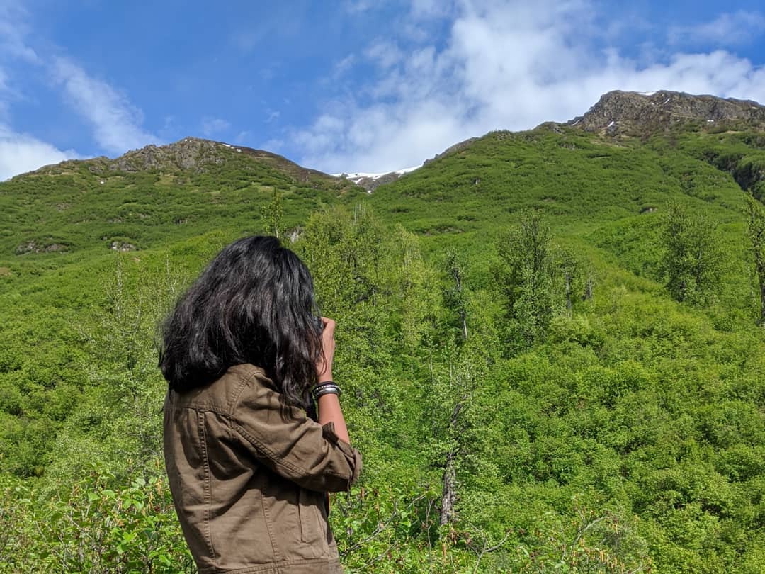

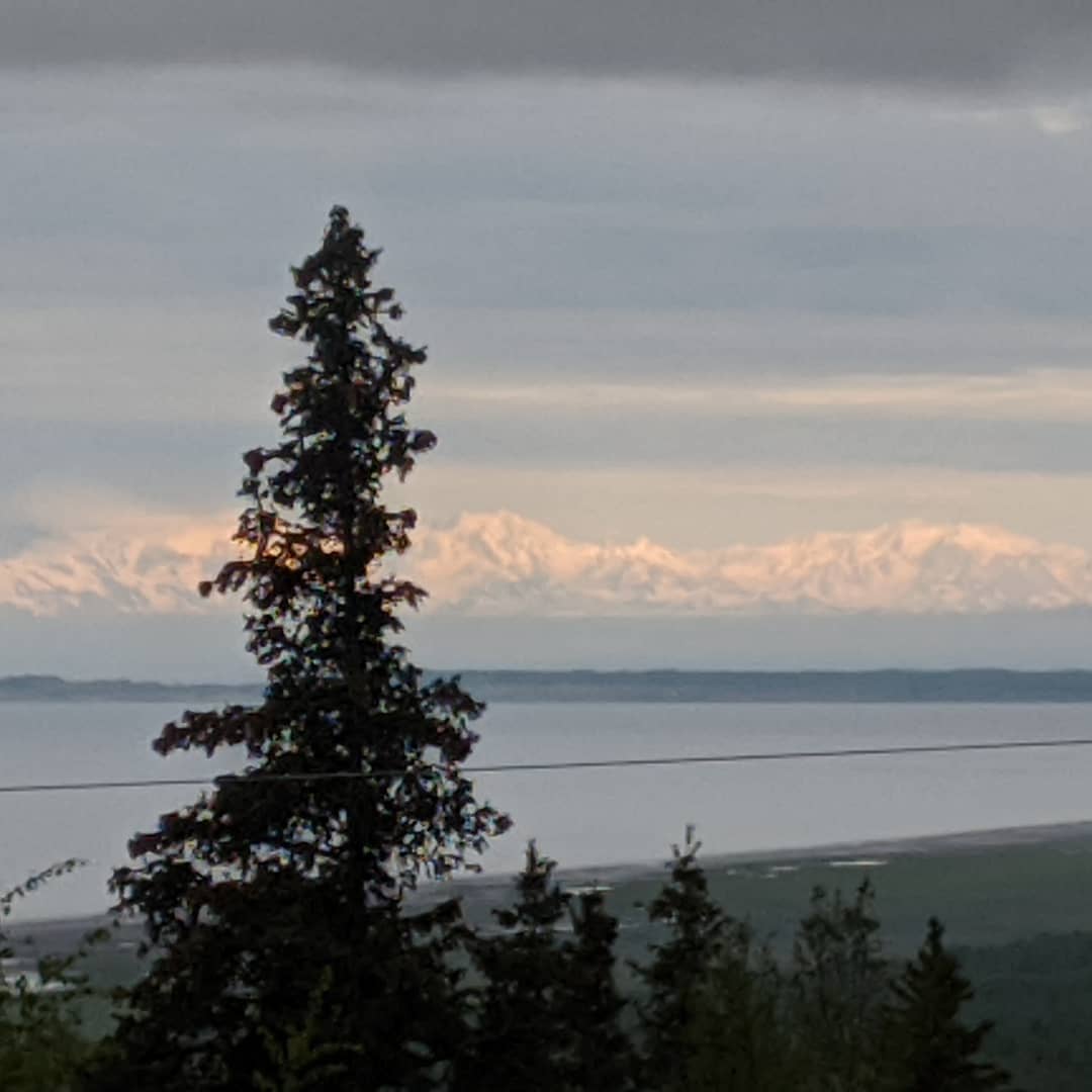
View from the new office / house / COVID hideaway.
📍 Anchorage, Alaska, Anchorage, AK 99501–99524, 99529-99530, 99599 · map

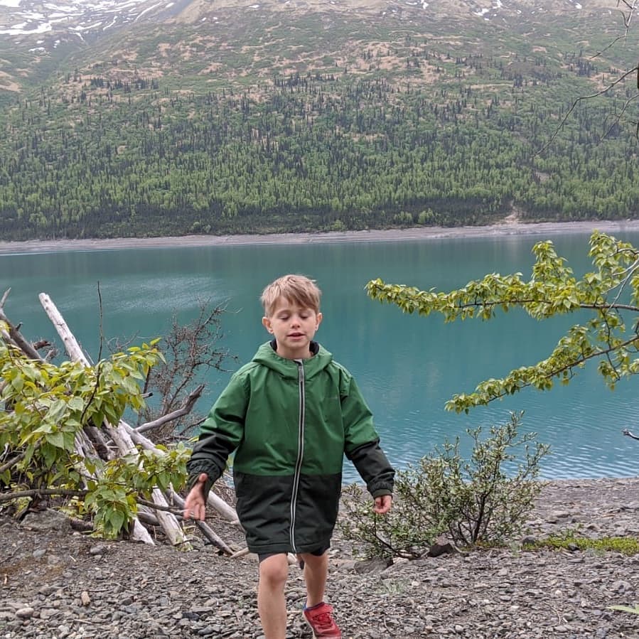
Saturday hike @ Eklutna Lake
📍 Eklutna Lake, Chugiak, AK 99567 · map
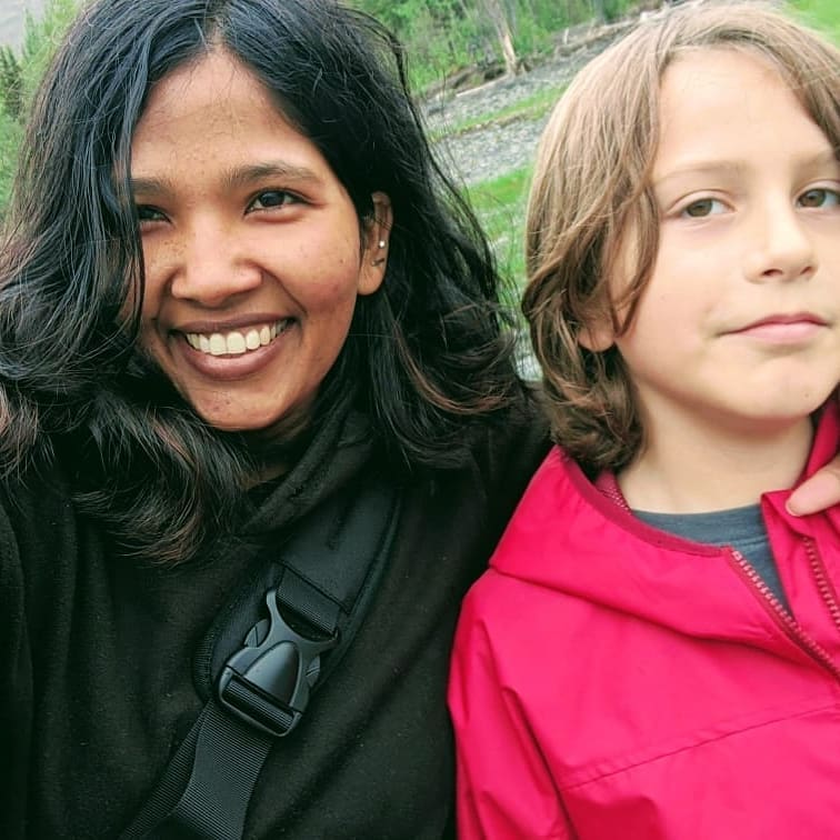
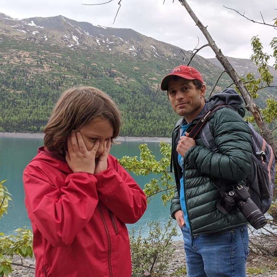
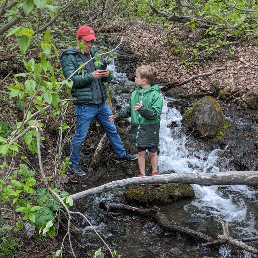
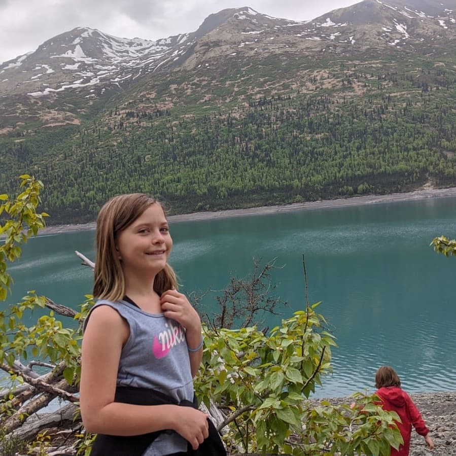
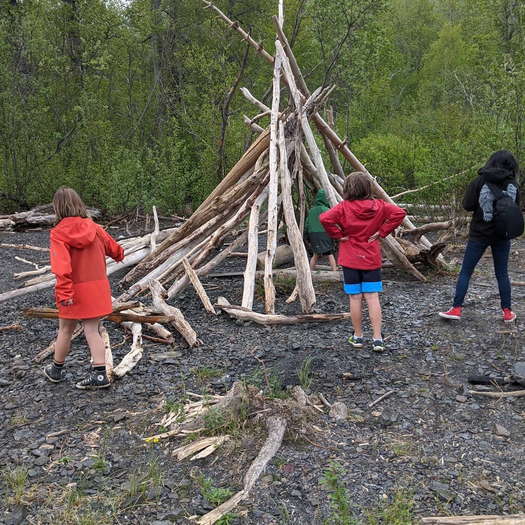
Sunita cut our hair this weekend. We were her first haircuts and I think she did a pretty good job. @mandal.sunita #covidcuts @ Anchorage, Alaska
📍 Anchorage, Alaska, Anchorage, AK 99501–99524, 99529-99530, 99599 · map
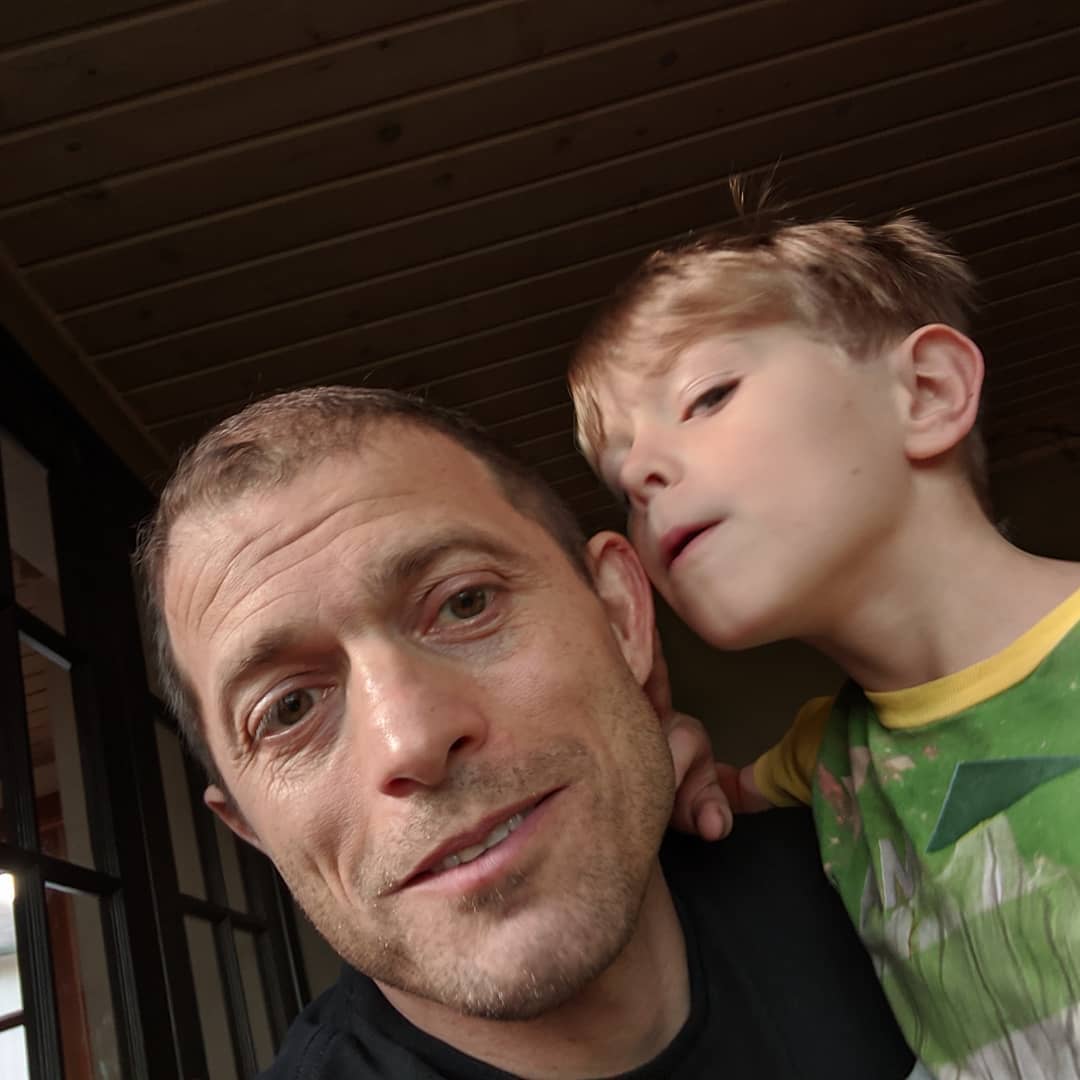


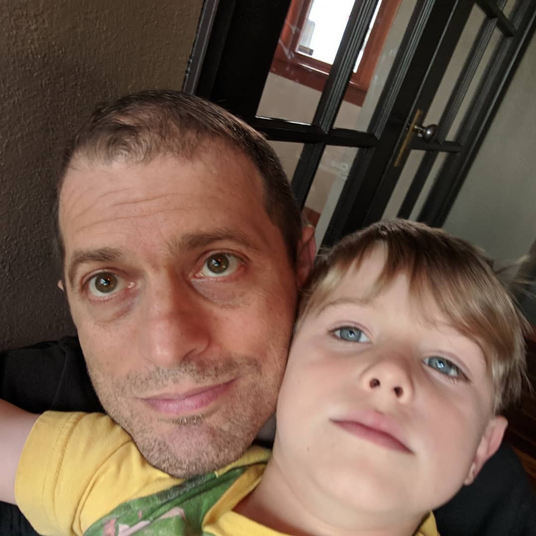
A few more from yesterday. @ Matanuska Glacier
📍 Matanuska Glacier, Palmer, AK 99645 · map

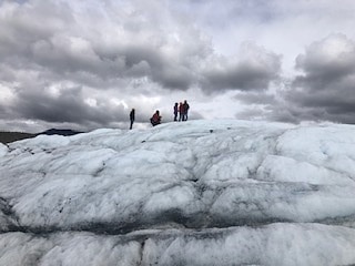
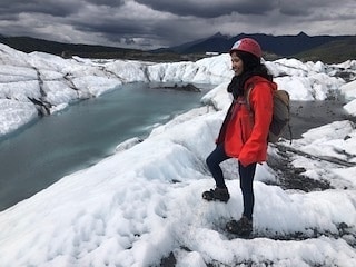
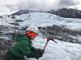
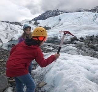
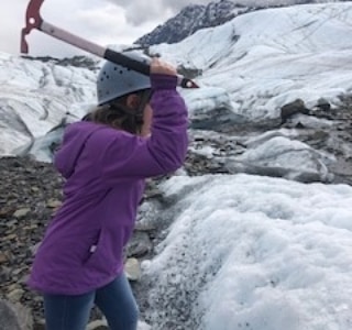
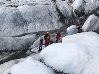
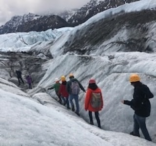
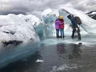
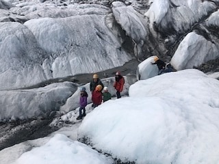
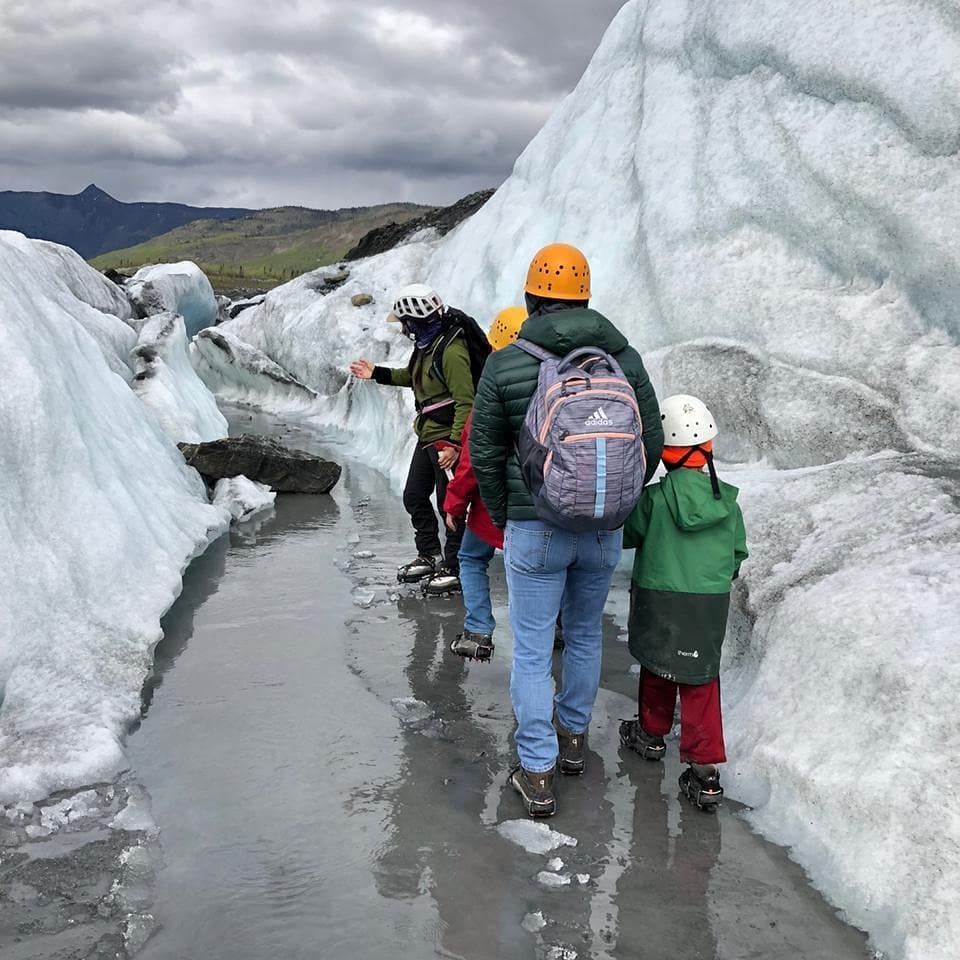
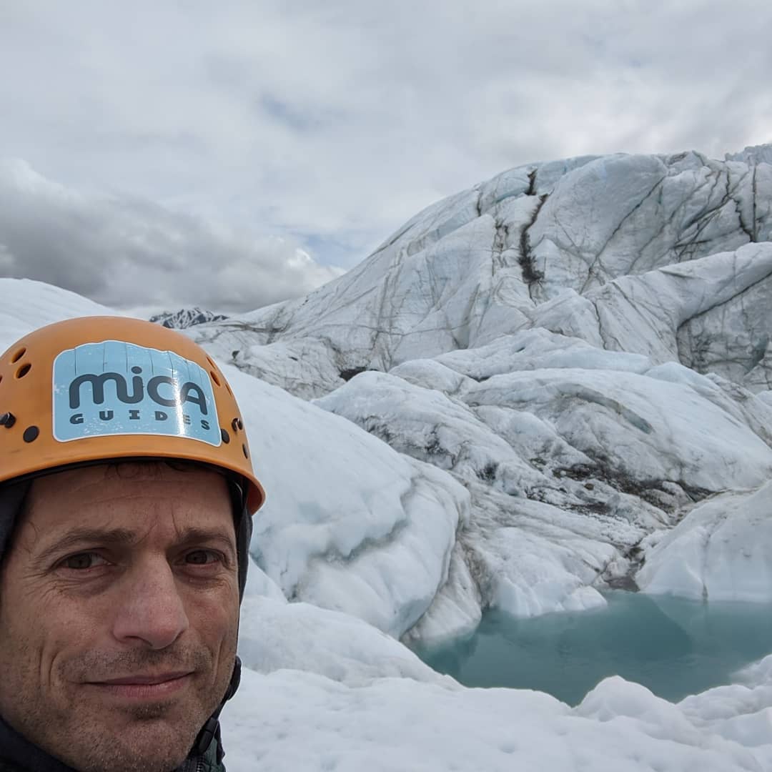
Matanuska glacier yesterday. The pictures really don't do it justice. I may get organized and post some better ones. No one looks good in those helmets. @ Matanuska Glacier
📍 Matanuska Glacier, Palmer, AK 99645 · map
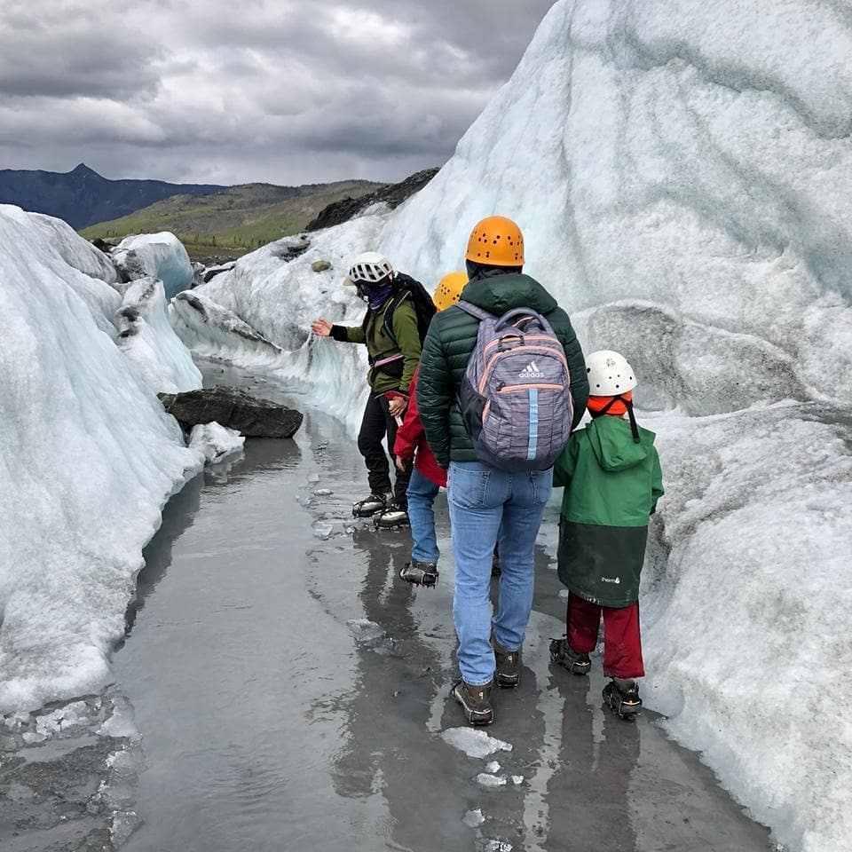
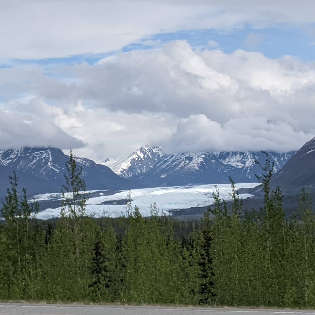
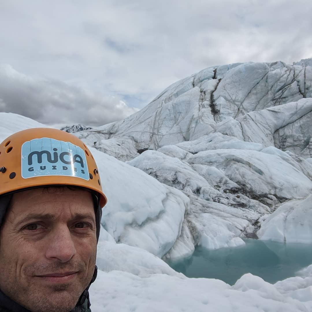
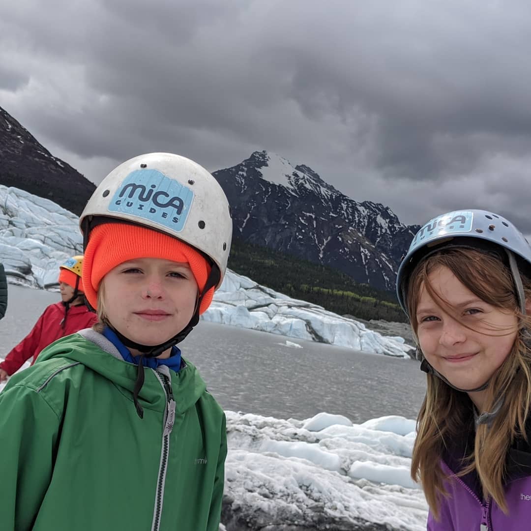
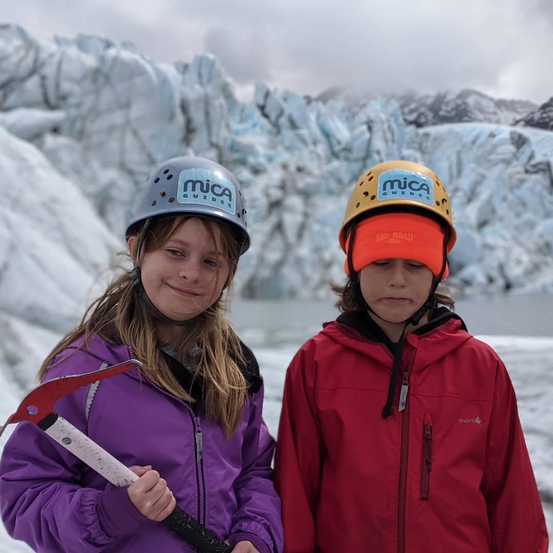
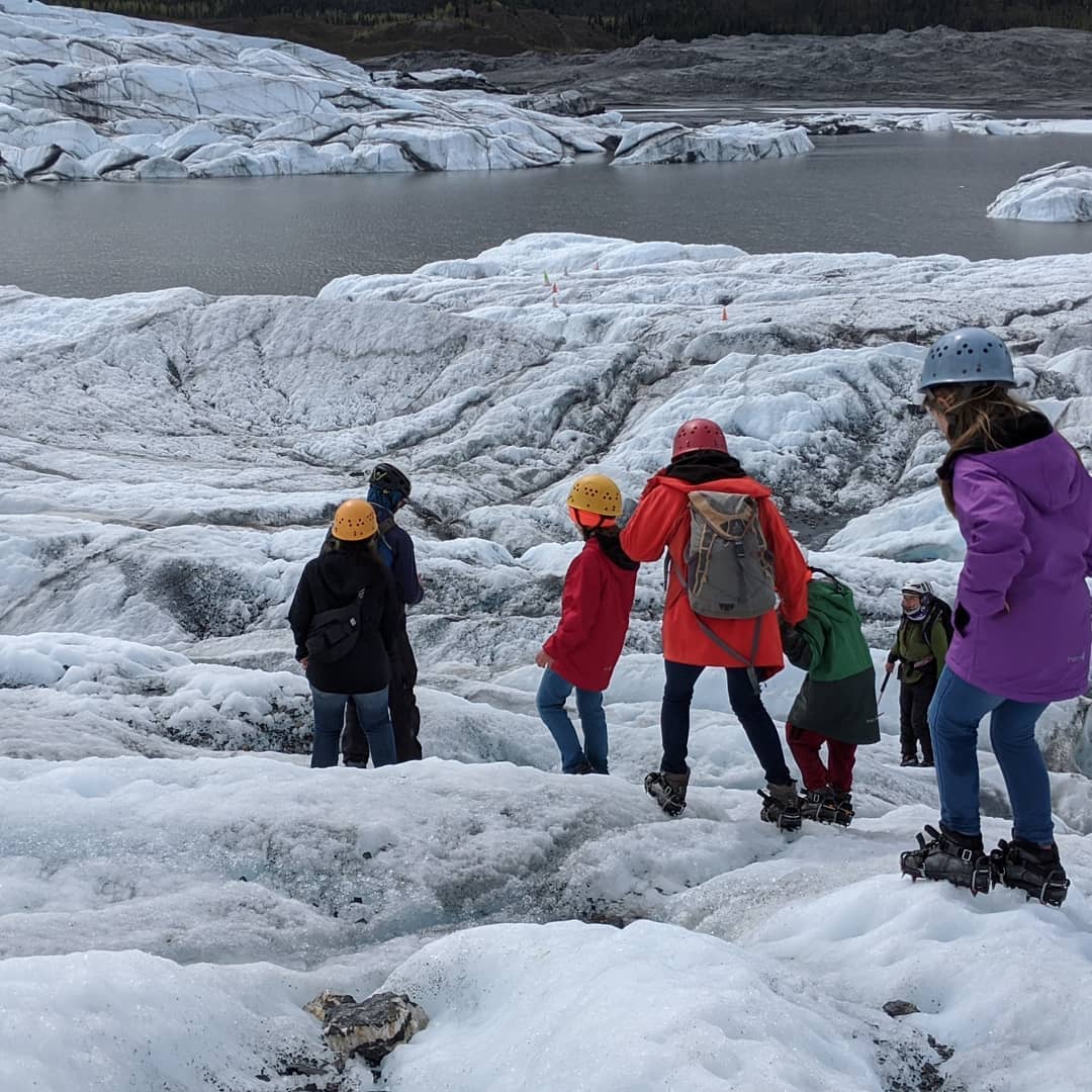
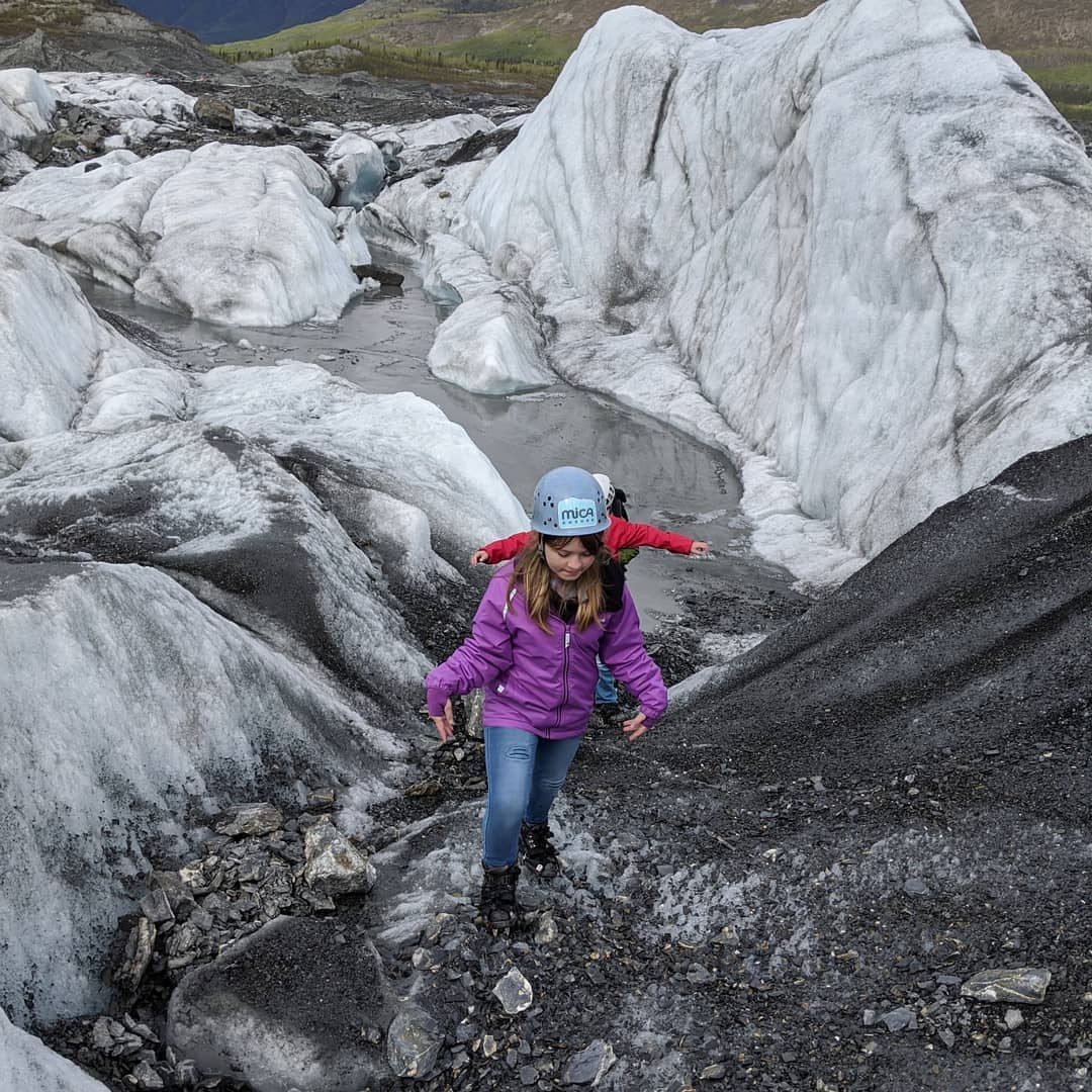
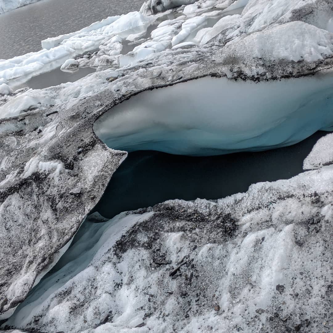
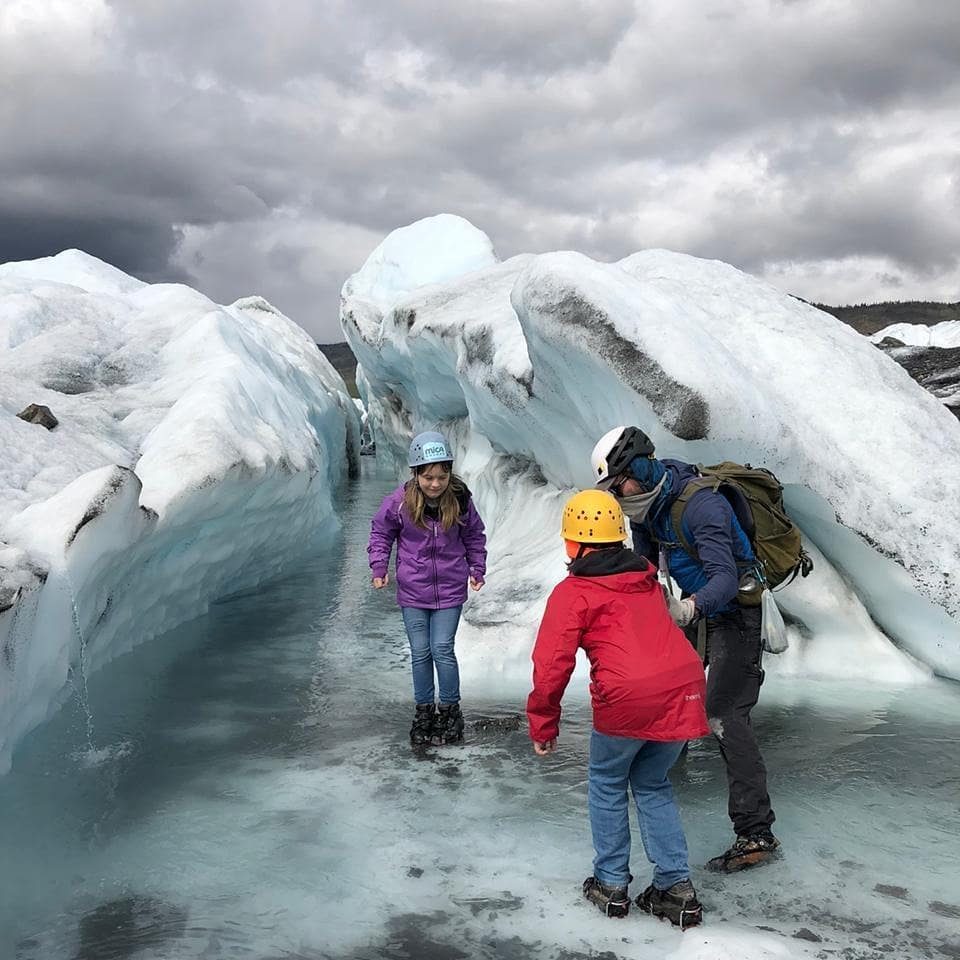
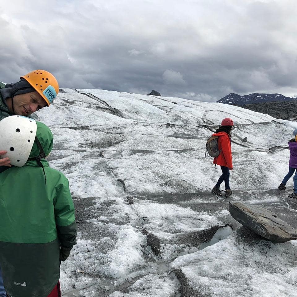
Matanuska glacier yesterday. The pictures really don't do it justice. I may get organized and post some better ones. No one looks good in those helmets. @ Matanuska Glacier
📍 Matanuska Glacier, Palmer, AK 99645 · map
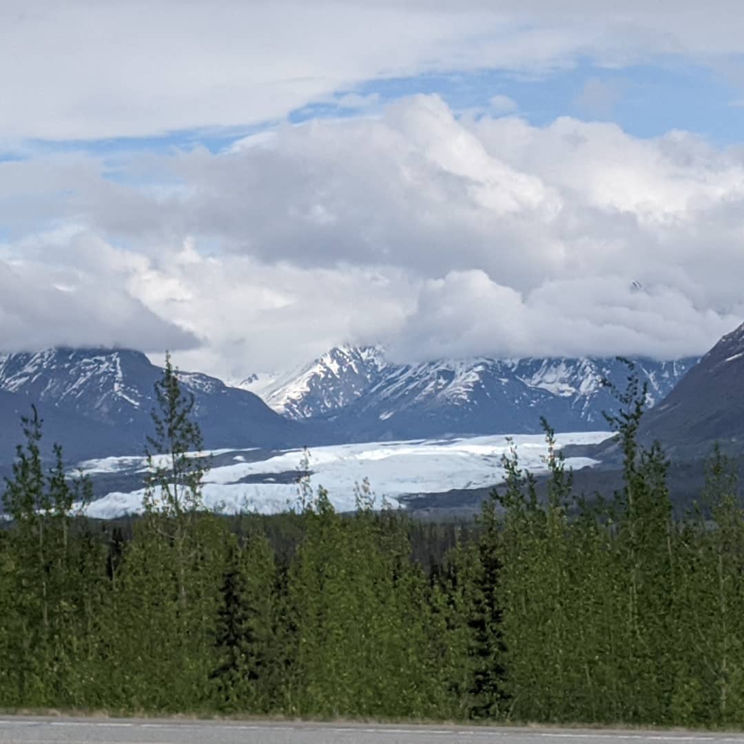
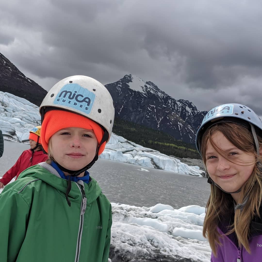

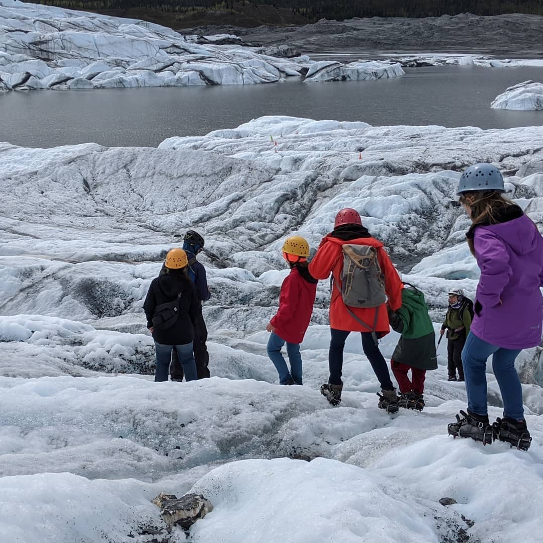
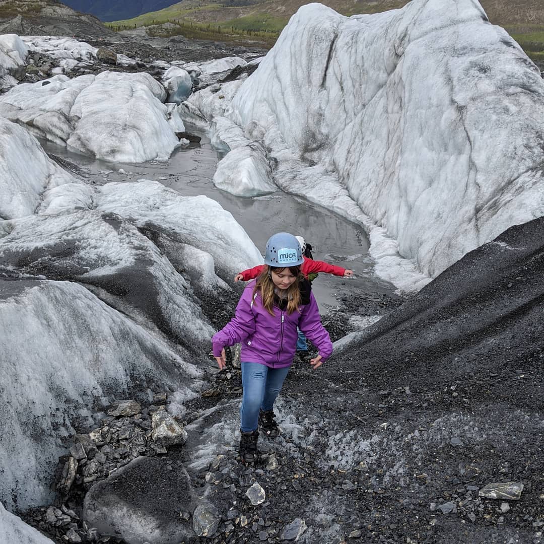
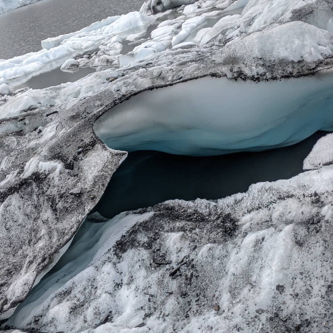
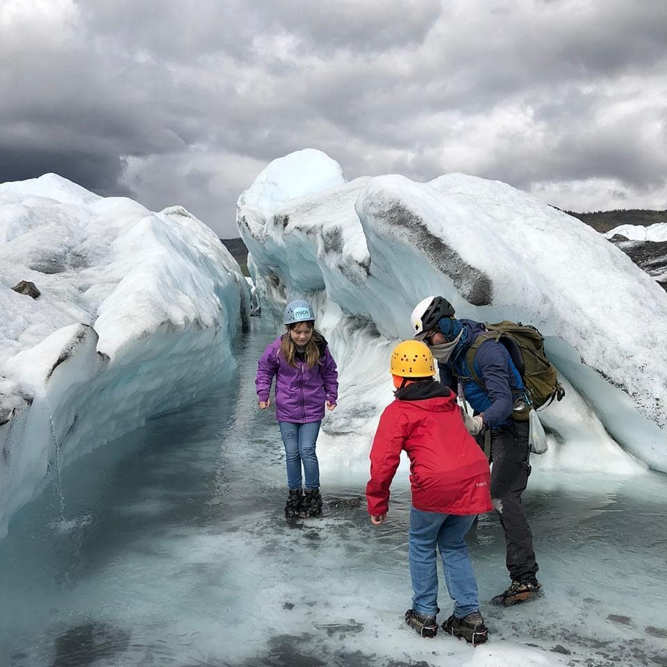
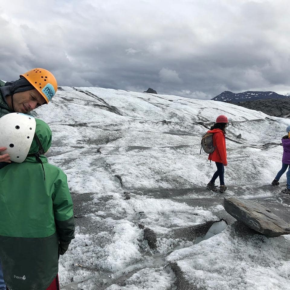
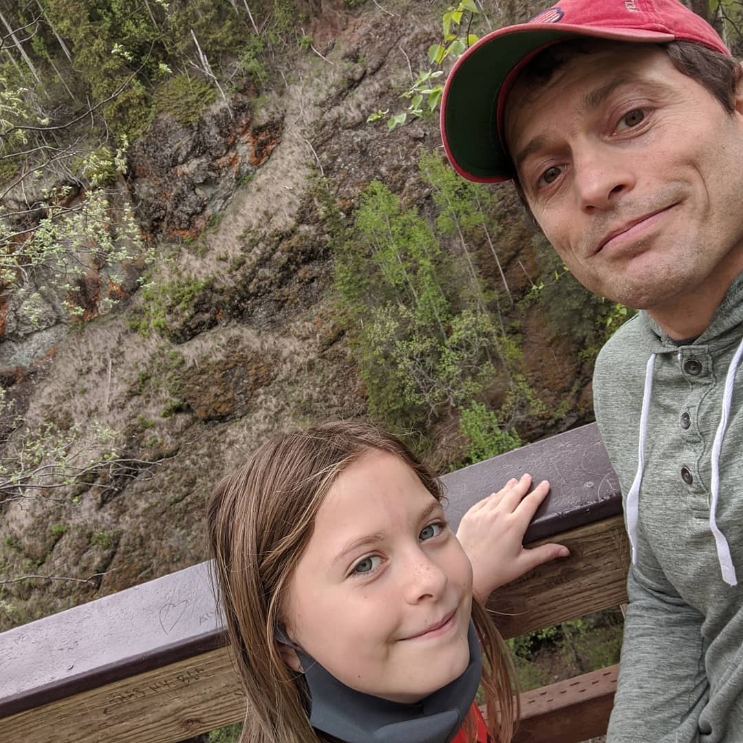
Finished our 14 day of quarantine yesterday and went for a hike. Tomorrow we go climb around on a glacier. @ Anchorage, Alaska
📍 Anchorage, Alaska, Anchorage, AK 99501–99524, 99529-99530, 99599 · map
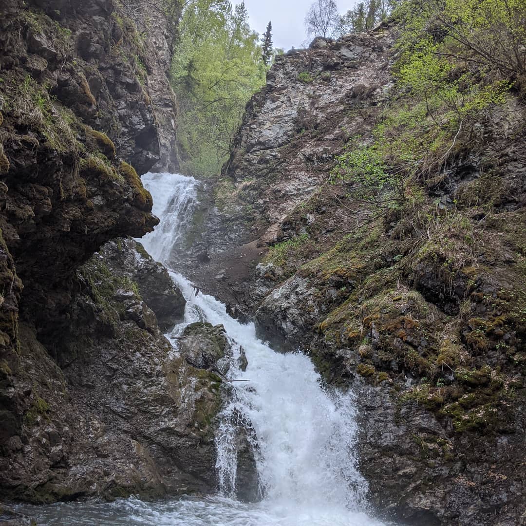
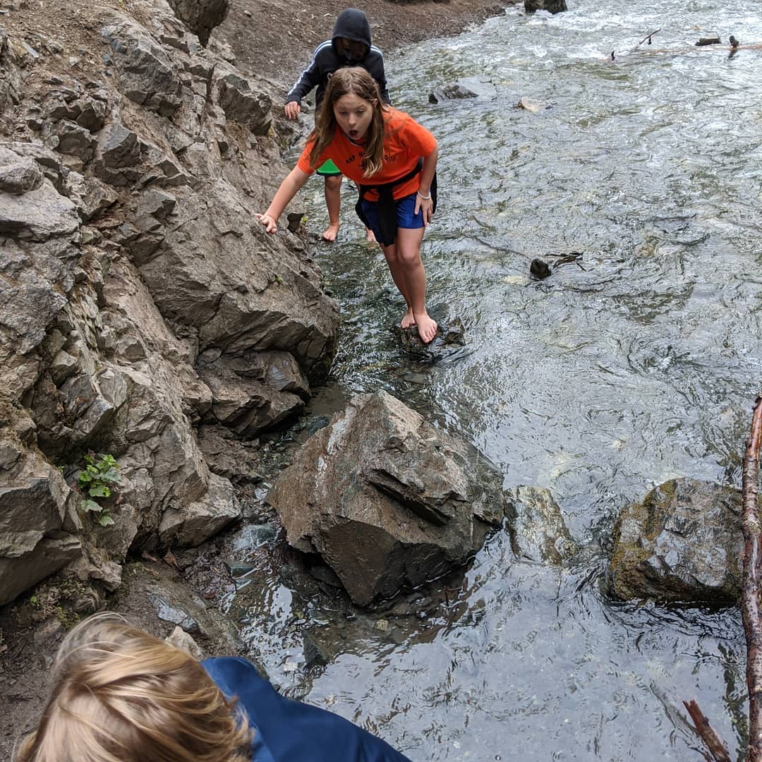

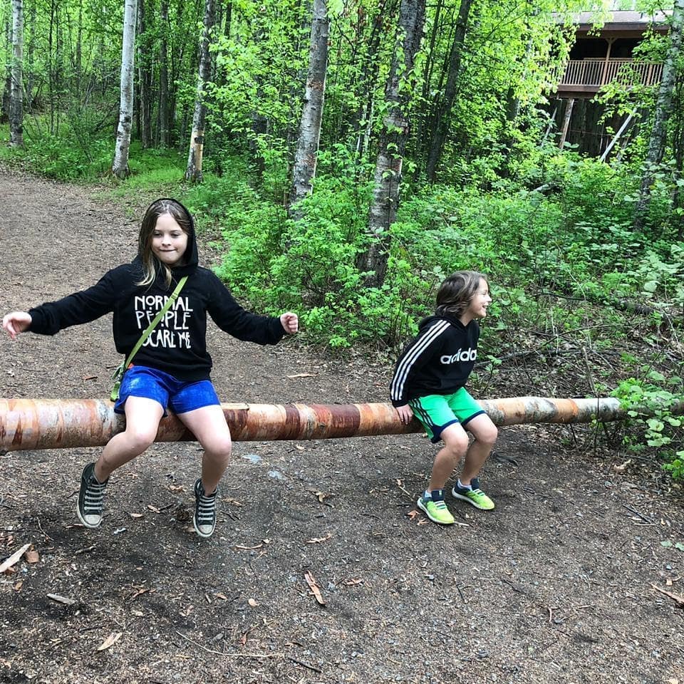
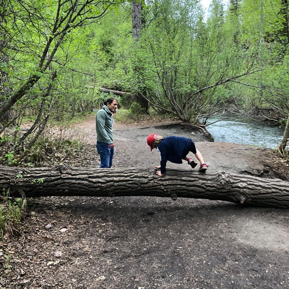
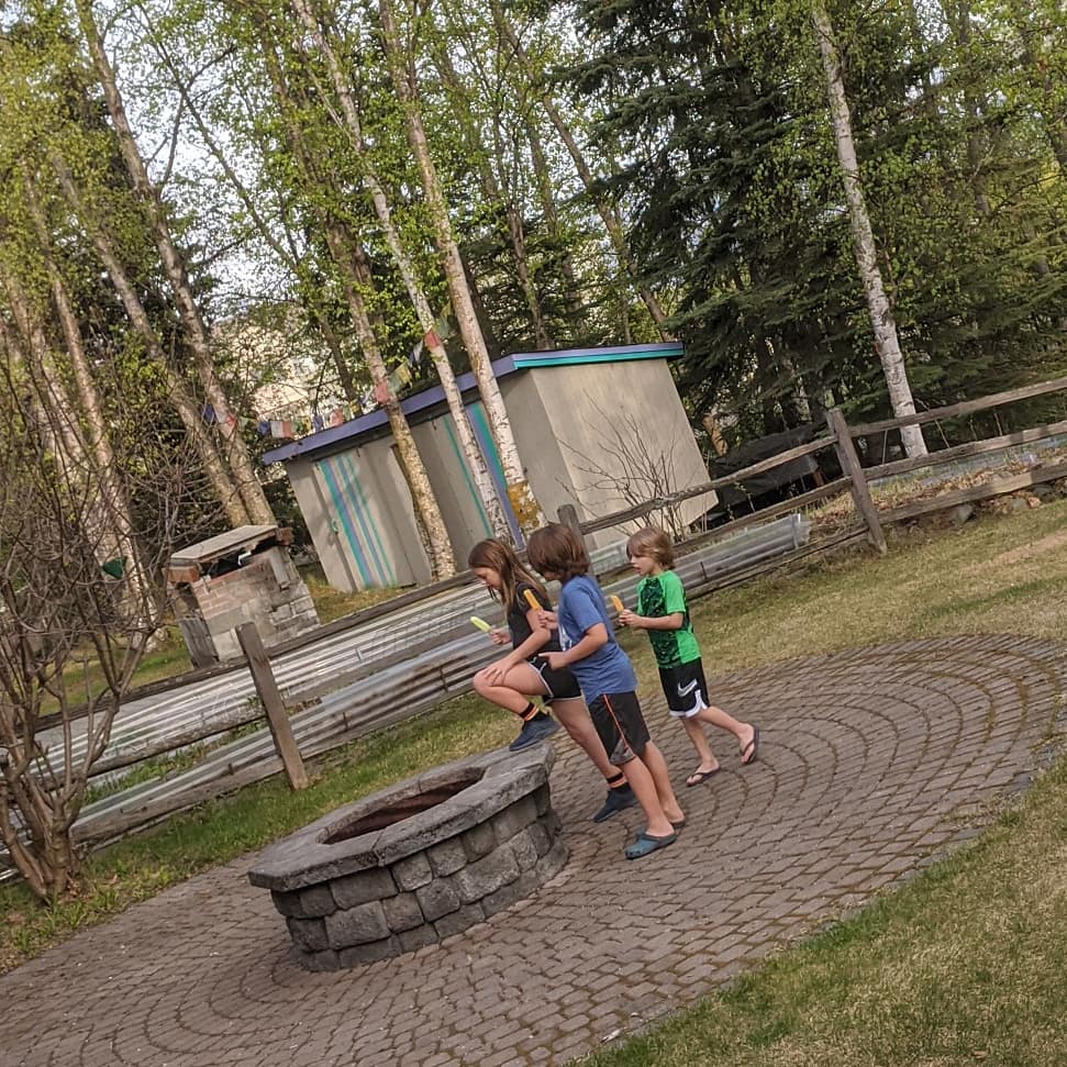
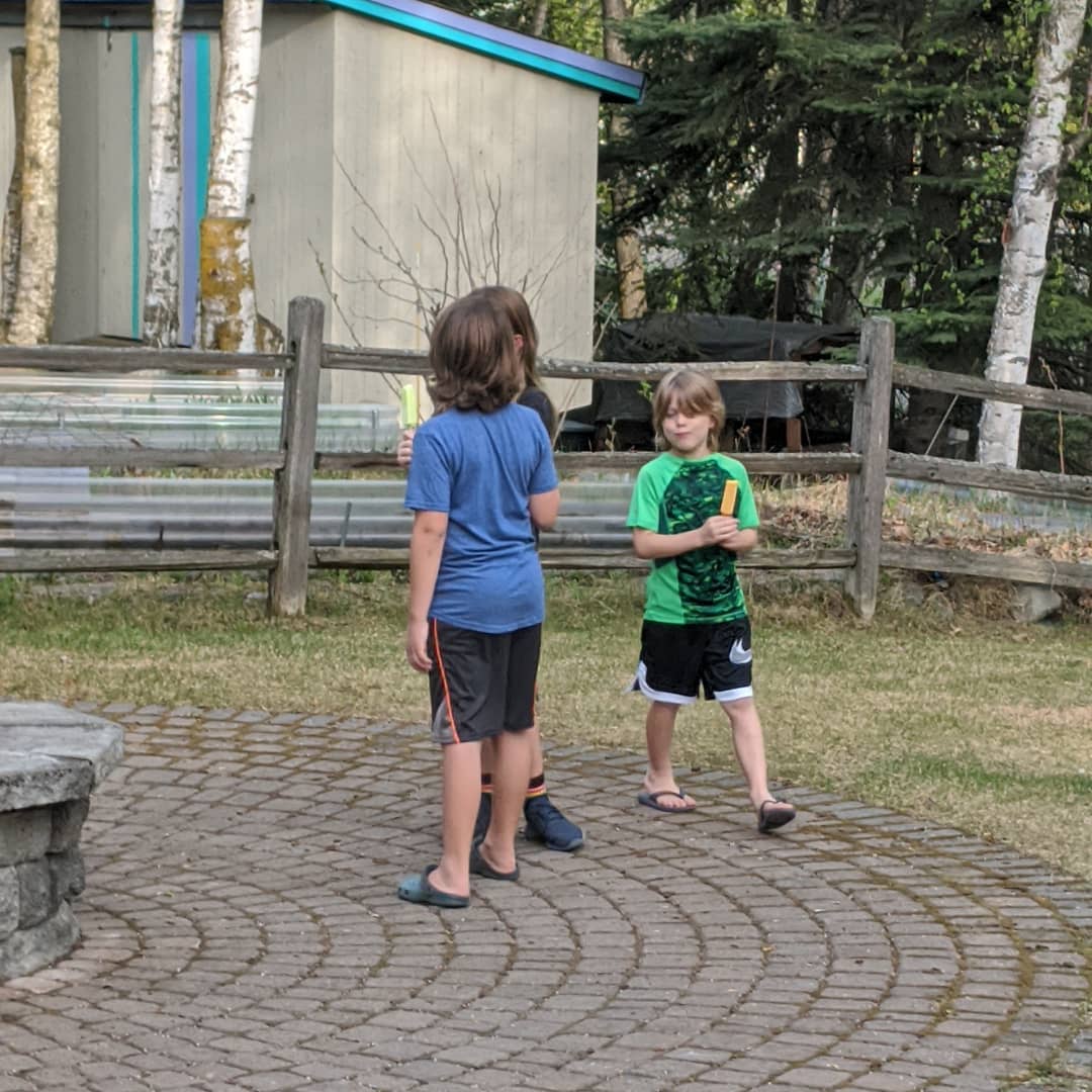
Popsicle circle.
A moose walked through that backyard this morning. Truman came running into my room. "Hey Dad, a donkey just walked by the window." To be fair, I think he only saw the legs and he's never seen a moose. By the time I came downstairs it was down the street a little ways. I knew they were big but that thing was crazy giant. @ Anchorage, Alaska
📍 Anchorage, Alaska, Anchorage, AK 99501–99524, 99529-99530, 99599 · map
Saul let me post something for a change. He's now my hula hoop mentor and maybe I will learn to do it before we are out of lock down.
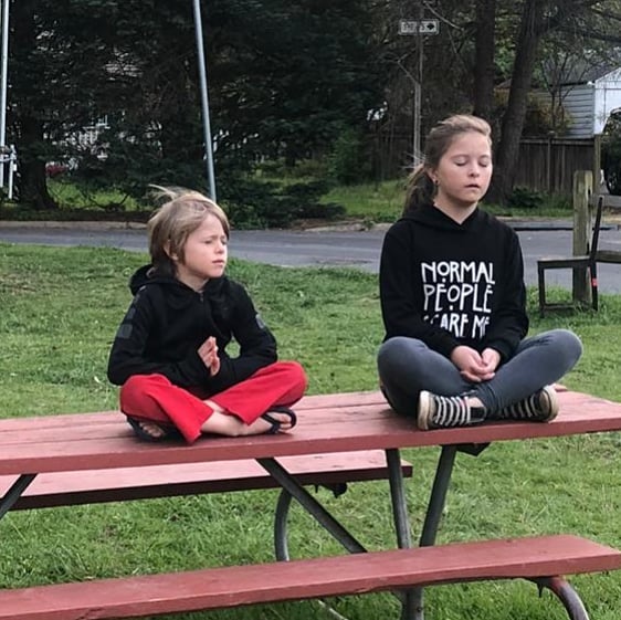
Saul was teaching Truman to be a ninja. Amelie noticed many flaws in his teachings. Now she's teaching Truman to be a ninja. Glad we had an expert step in to guide him. Here they are meditating.
📍 Falls Church, Virginia, Falls Church, VA 22040, 22042, 22044, 22046 · map
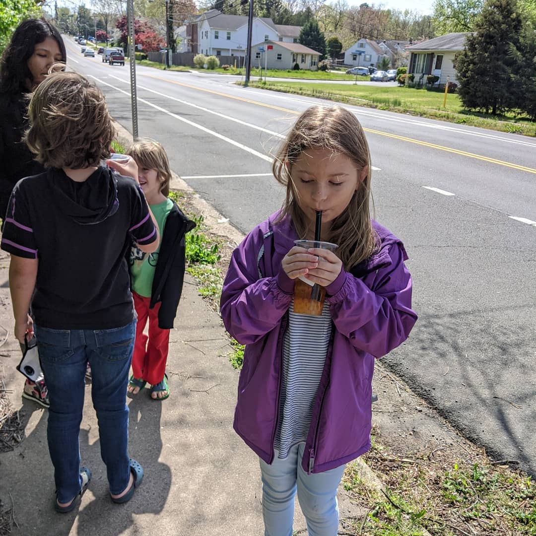
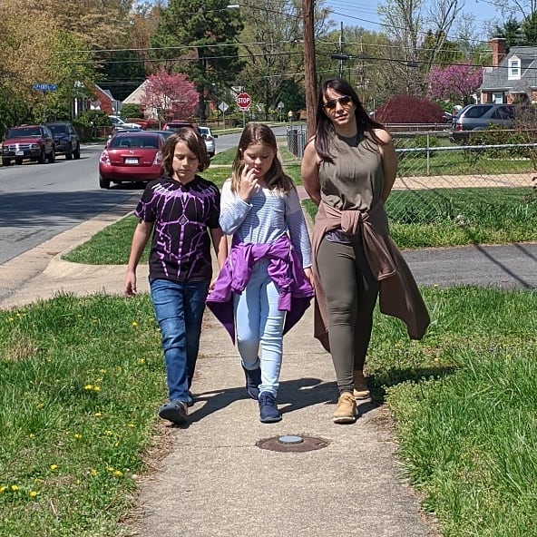
Been getting out for lots of walks in the sun. Yesterday we walked over to where we lived back in 2016 and past the kids' old school. Today we all went out and ran wind sprints. Truman has boundless energy and left us all behind as he just ran and ran and ran...
📍 Falls Church, Virginia, Falls Church is an independent city in the U.S. state of Virginia. As of the 2010 census, the population was 12,332. The estimated population in 2015 was 13,892. Falls Church is included in the Washington metropolitan area. Falls Church has the lowest level of poverty of any independent city or county in the United States.Taking its name from The Falls Church, an 18th-century Church of England (later Episcopal Church) parish, Falls Church gained township status within Fairfax County in 1875. In 1948, it was incorporated as the City of Falls Church, an independent city with county-level governance status. It is also referred to as Falls Church City.The city's corporate boundaries do not include all of the area historically known as Falls Church; these areas include portions of Seven Corners and other portions of the current Falls Church postal districts of Fairfax County, as well as the area of Arlington County known as East Falls Church, which was part of the town of Falls Church from 1875 to 1936. For statistical purposes, the U.S. Department of Commerce's Bureau of Economic Analysis combines the City of Falls Church with Fairfax City and Fairfax County. · map
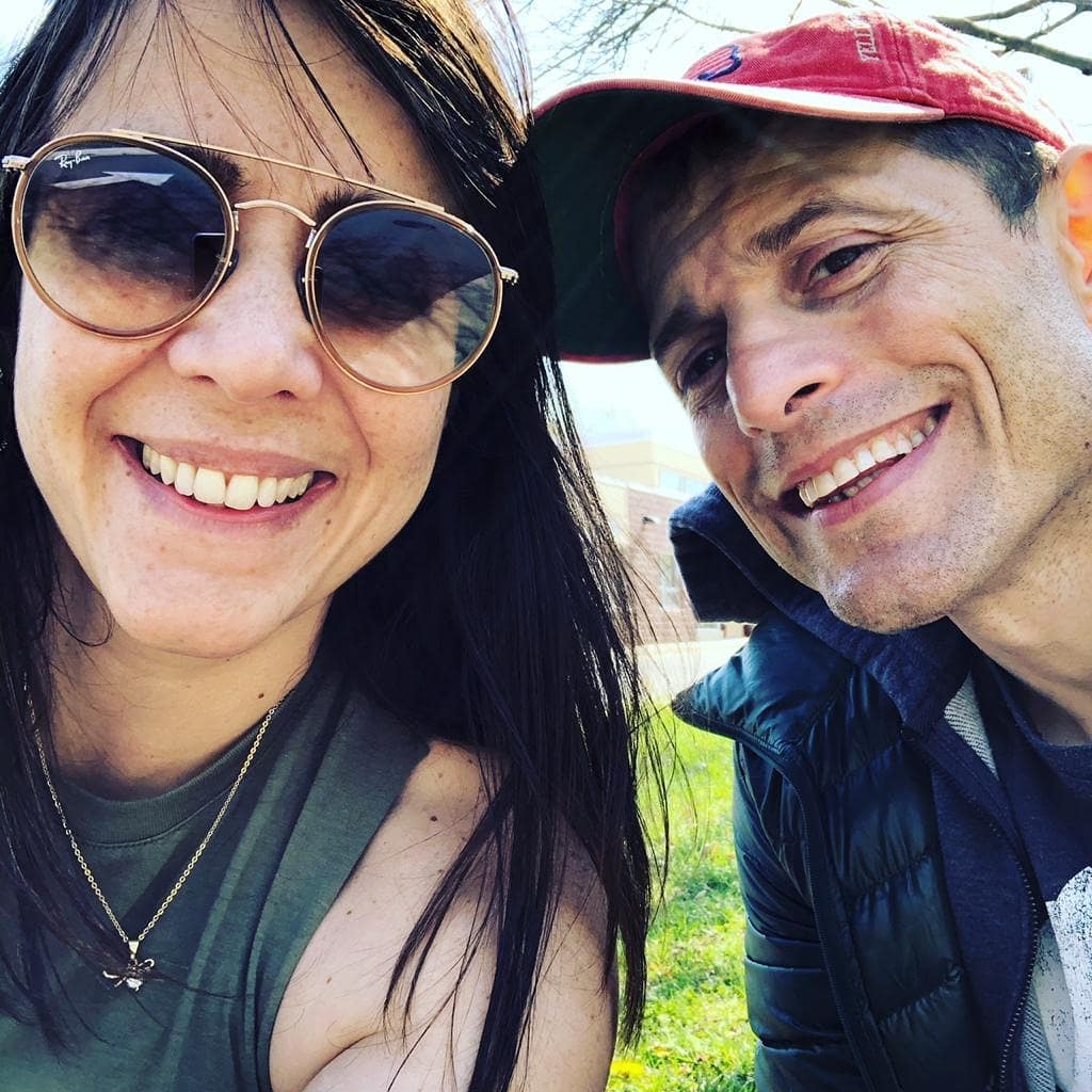
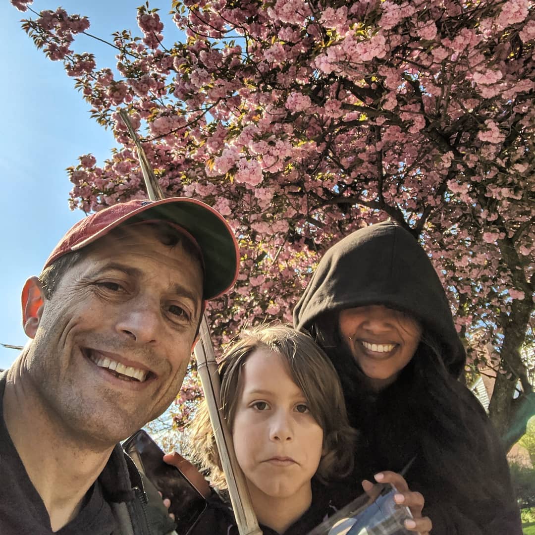



We left Nigeria on Friday. Thirty-three hours door to door. Twenty-one hours on the same plane.
Abuja-Lisbon-Keflavik-Dulles
Strange time to be in the States.
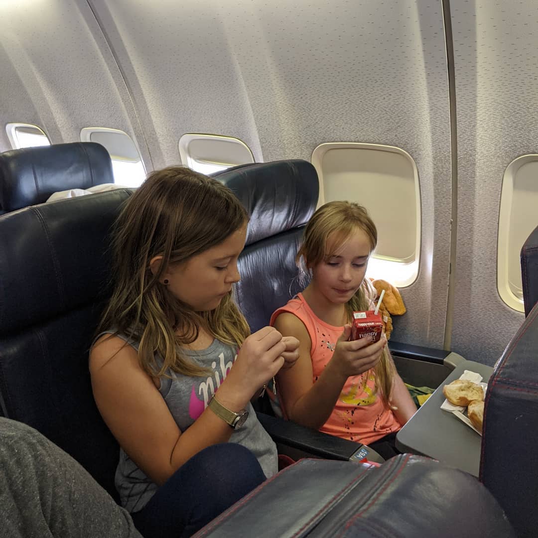
Saul decided to eat a dandilion. Maybe blame jetlag or being trapped in the house to much.
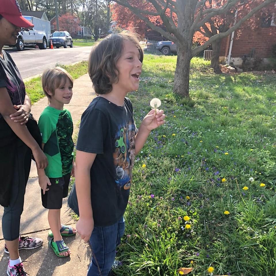
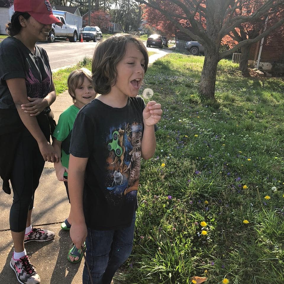
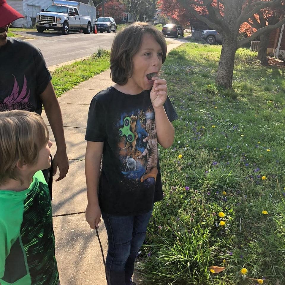

Today was a tough day. It looks like we are evacuating in a 7-10 days. But, on a happy note, we took the opportunity to give Sunita her birthday present a little bit early. We actually told her and the kids about the likely departure between the first and second picture. In the second picture I am just transitioning from the difficult conversation to the fun conversation. The joy in the later pictures is so palpable, it makes me happy just seeing them.
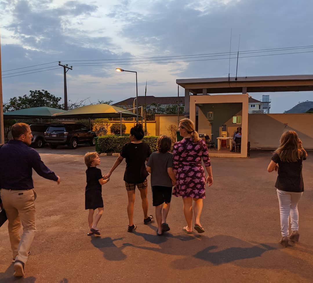
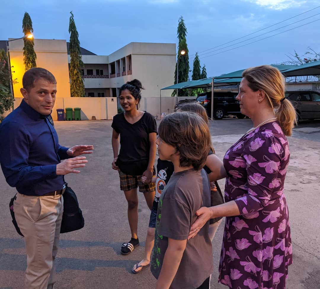
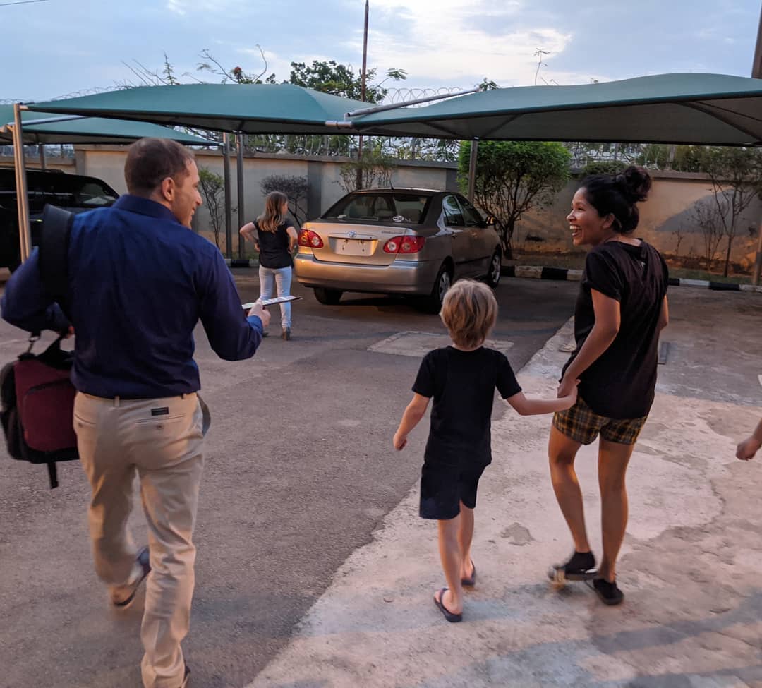
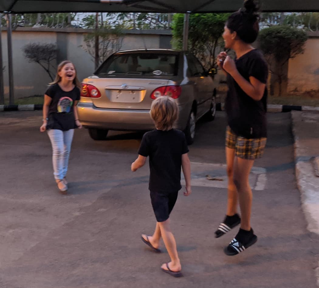
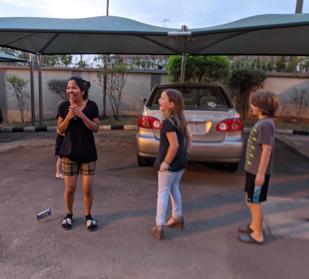
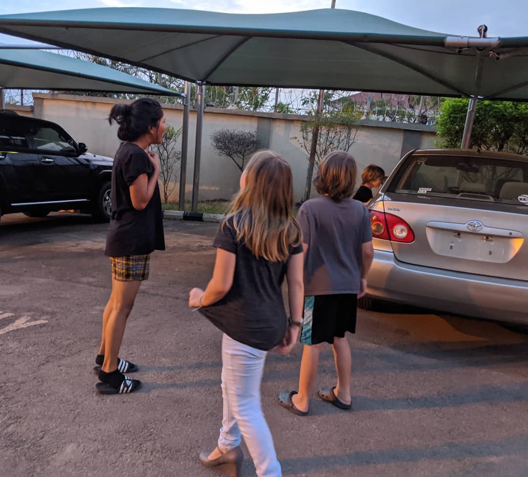
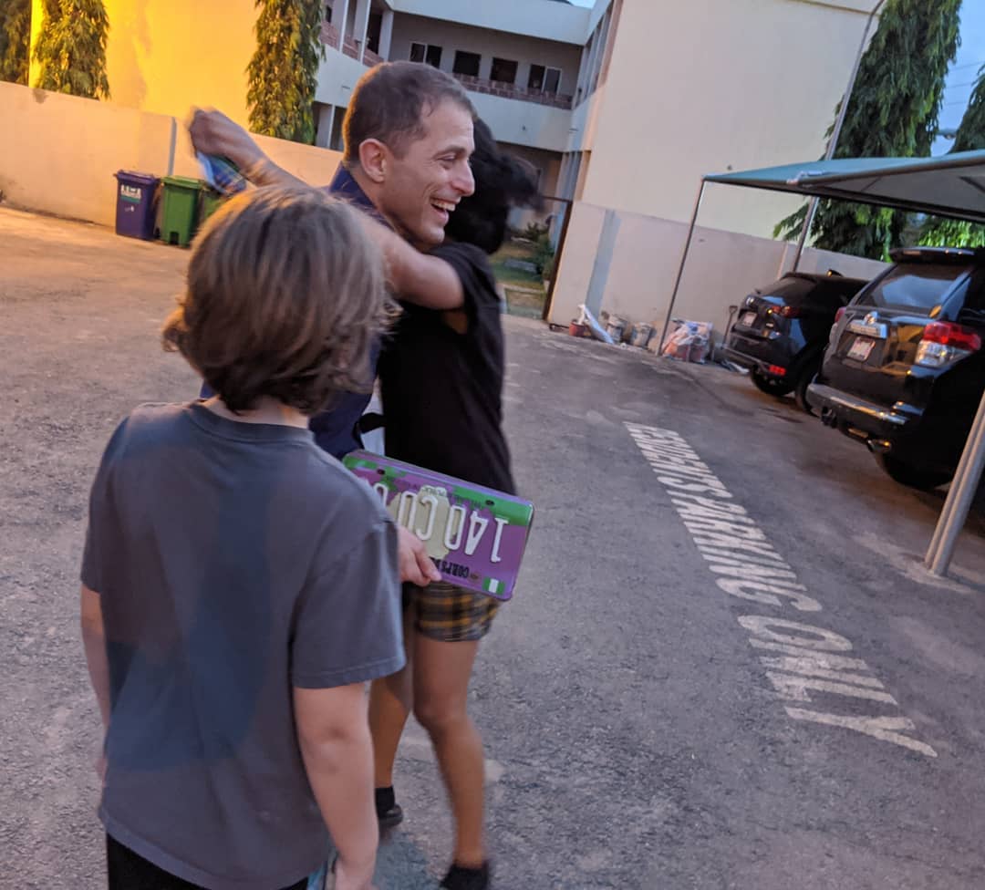
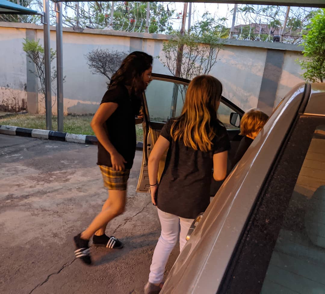
Everyone working at home. 3/19 #covidspring @ Abuja, Nigeria
📍 Abuja, Nigeria, Abuja, Nigeria · map


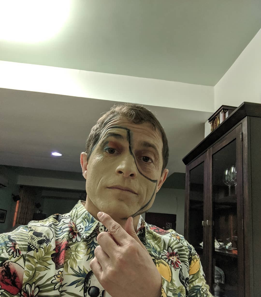
Purim party mask.
📍 Abuja, Nigeria, Abuja is the capital city of Nigeria located in the centre of the country within the Federal Capital Territory (FCT). It is a planned city and was built mainly in the 1980s, replacing the country's most populous city of Lagos as the capital on 12 December 1991. Abuja's geography is defined by Aso Rock, a 400m monolith left by water erosion. The Presidential Complex, National Assembly, Supreme Court and much of the city extend to the south of the rock. Zuma Rock, a 792m monolith, lies just north of the city on the road to Kaduna State.At the 2006 census, the city of Abuja had a population of 776,298, making it one of the ten most populous cities in Nigeria. According to the United Nations, Abuja grew by 139.7% between 2000 and 2010, making it the fastest growing city in the world., the city is still experiencing an annual growth of at least 35%, still retaining its position as the fastest-growing city on the African continent and one of the fastest-growing in the world. Abuja has witnessed a huge influx of people into the city; the growth has led to the emergence of satellite towns, such as Karu Urban Area, Suleja, Gwagwalada, Lugbe, Kuje and smaller settlements towards which the planned city is sprawling. The unofficial metropolitan area of Abuja has a population of well over three million, making it the fourth largest metropolitan area in Nigeria, surpassed only by Lagos, Kano and Ibadan. As at 2016, the metropolitan area of Abuja is estimated at 6 million persons, placing it behind only Lagos, as the most populous metro area. · map

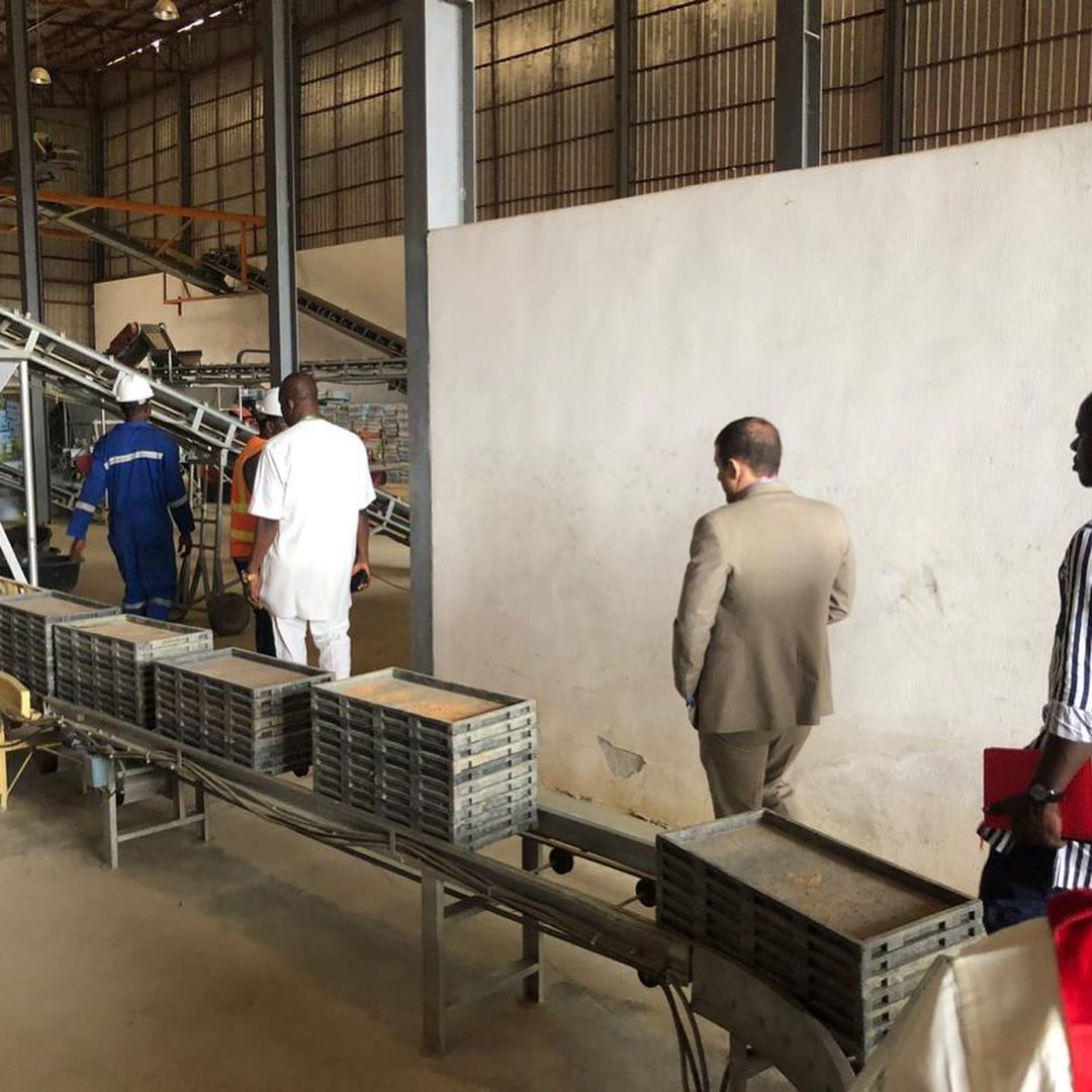
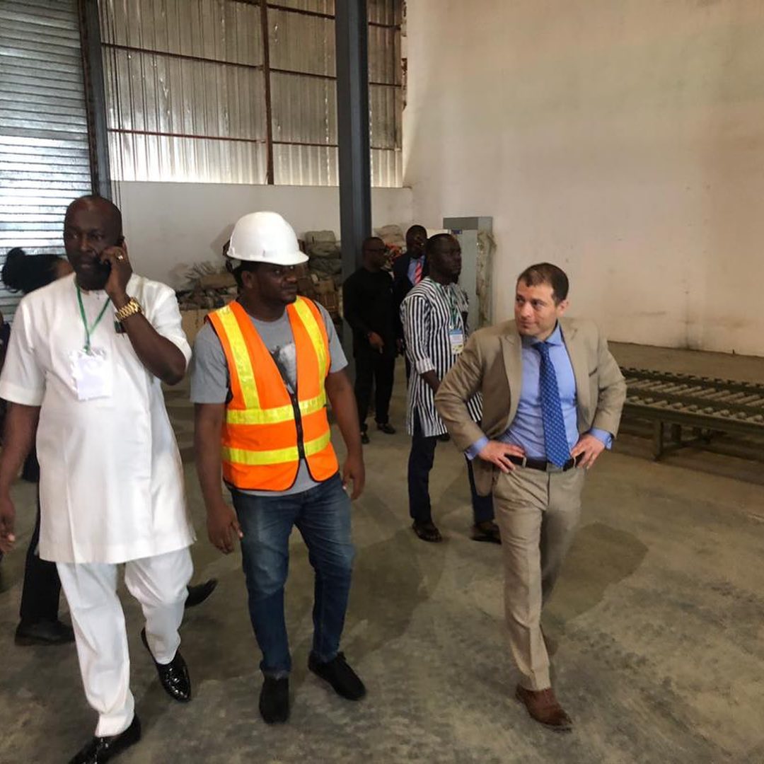
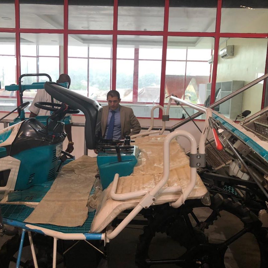
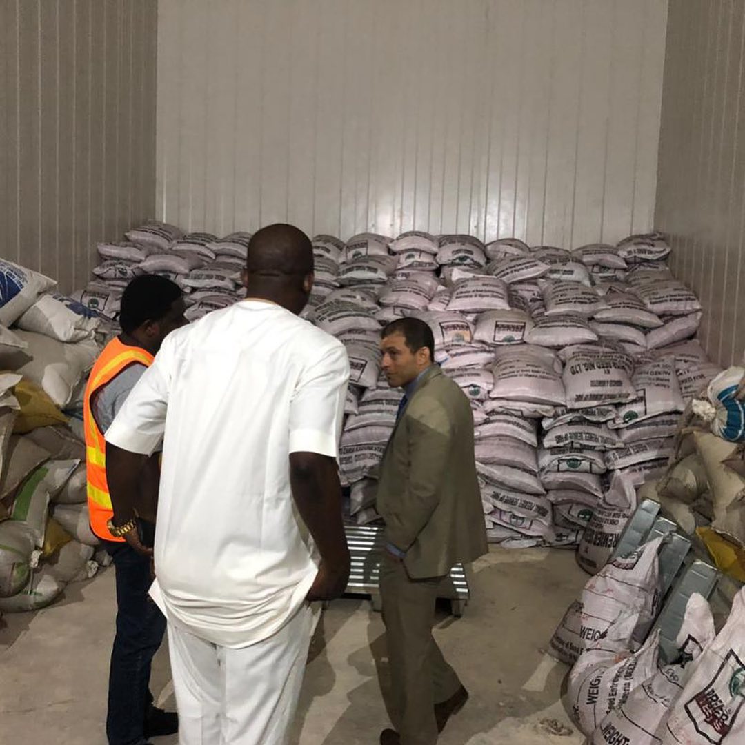
Agribusiness event and tour of a automated rice seedling operations in Calabar. Flew down last night and just landed back in Abuja. I look like a candidate for public office (walking around a factory in a suit and shaking hands). @ Calabar, Cross River
📍 Calabar, Cross River, Abuja, Nigeria · map




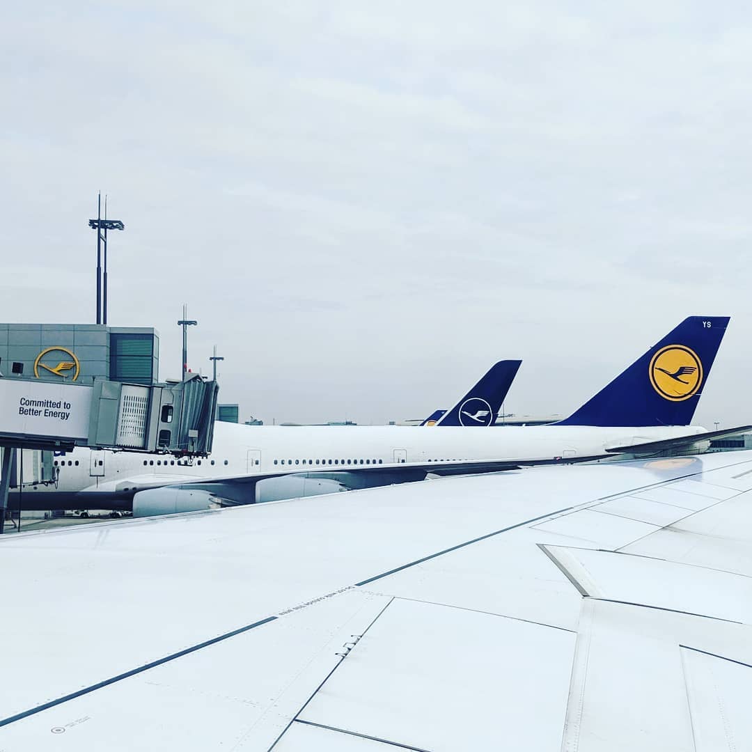
DC bound.
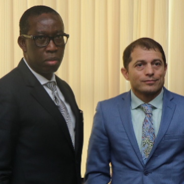
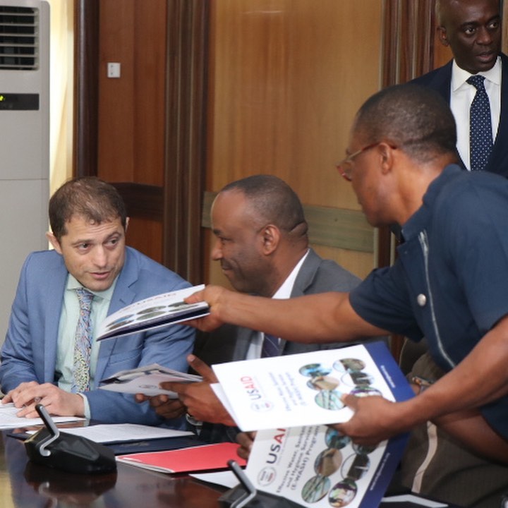
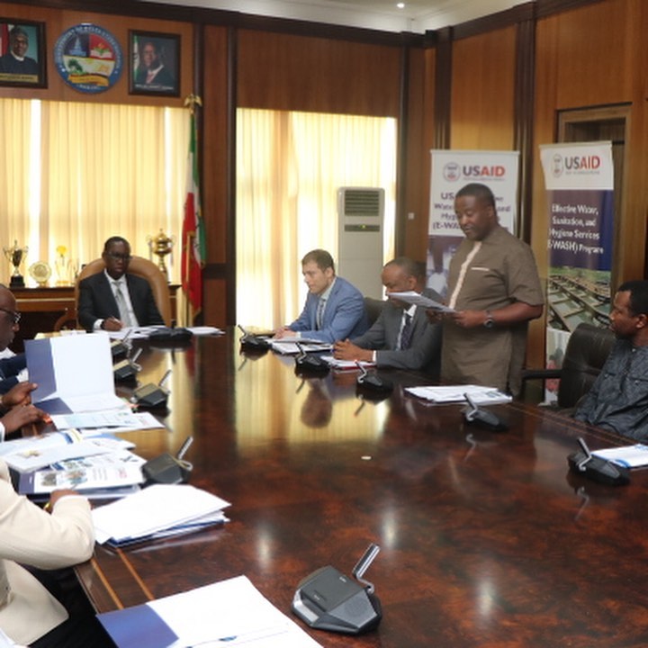
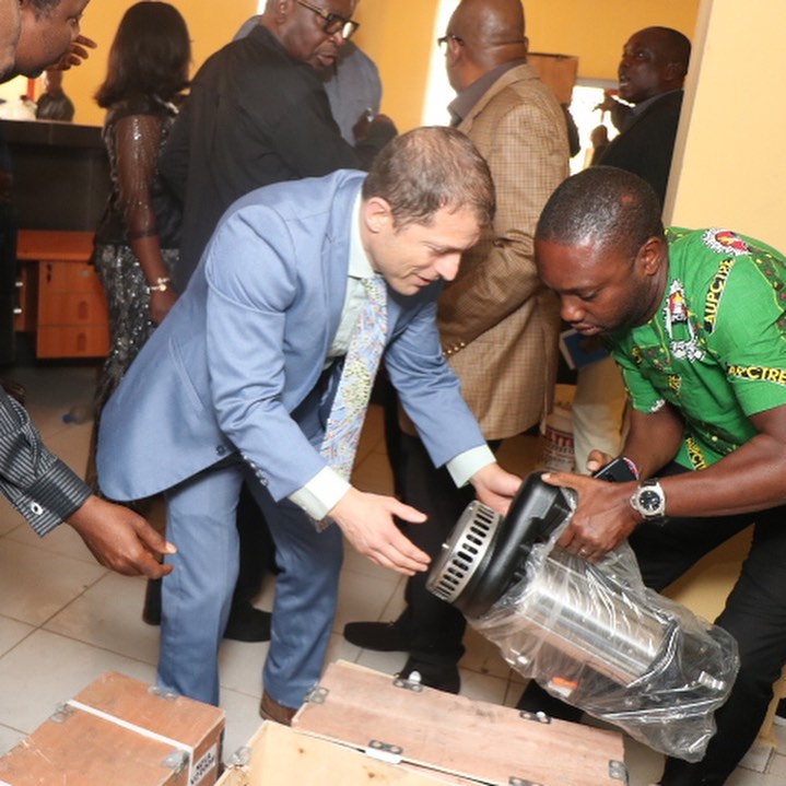
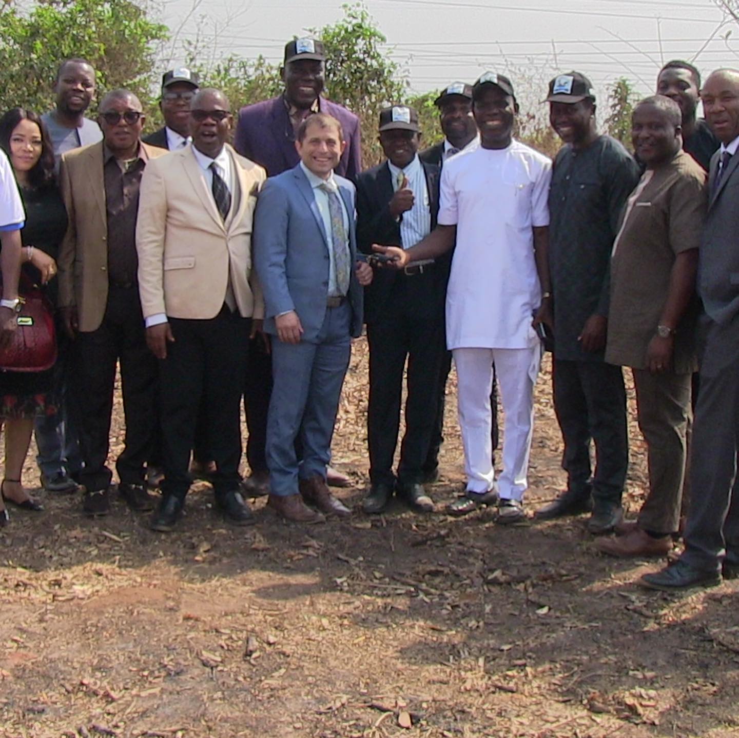
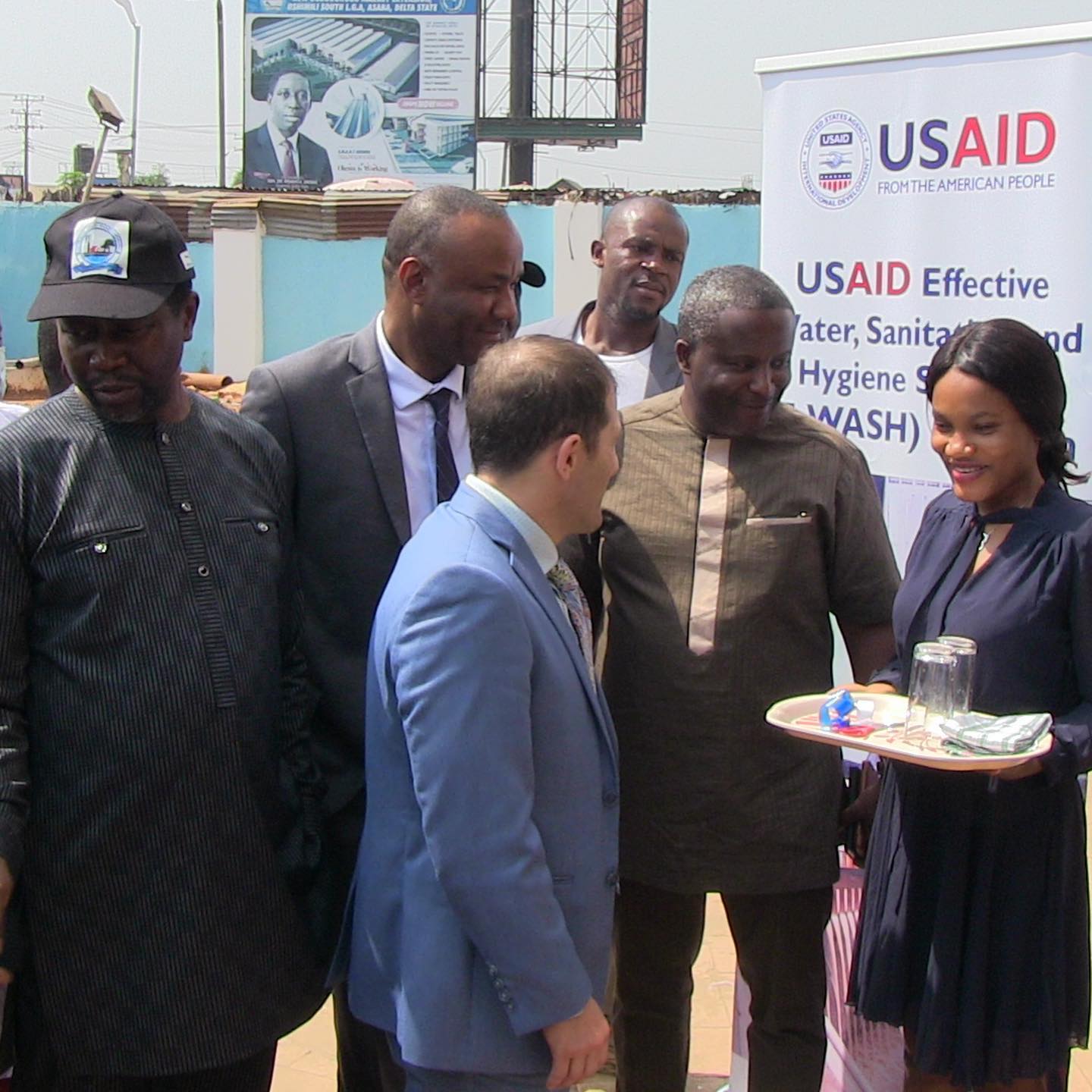
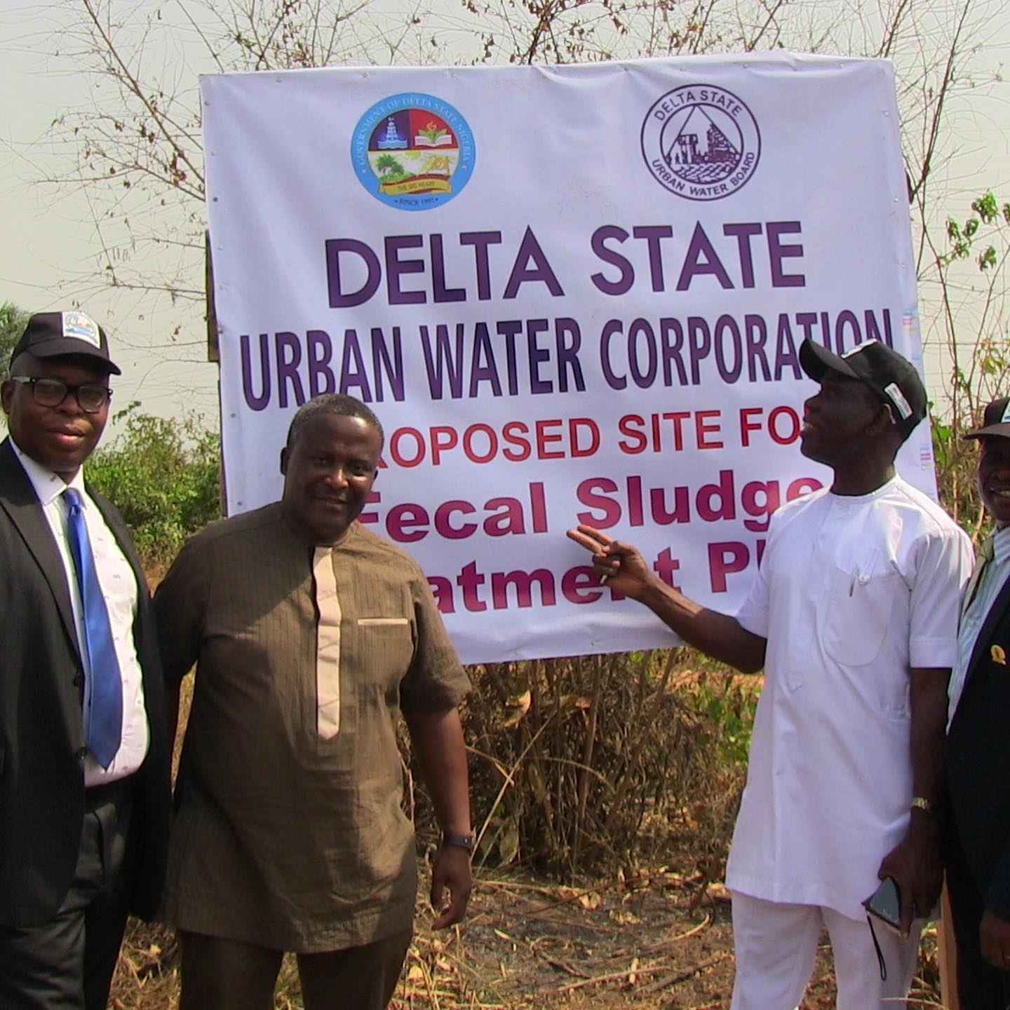
Didn’t get as many pictures from the events as hoped. But here’s from a couple stops on the day. The first is with the Governor of Delta state after the signing. I also had the good fortune to arrive at the state water board about 15 minutes before a truck load of equipment arrived so we quickly staged a handover for the press. Finally, who doesn’t love a future fecal sludge site in their neighborhood. @ Asaba, Nigeria
📍 Asaba, Nigeria, Asaba, Nigeria · map

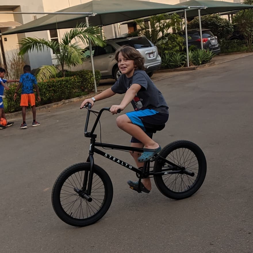
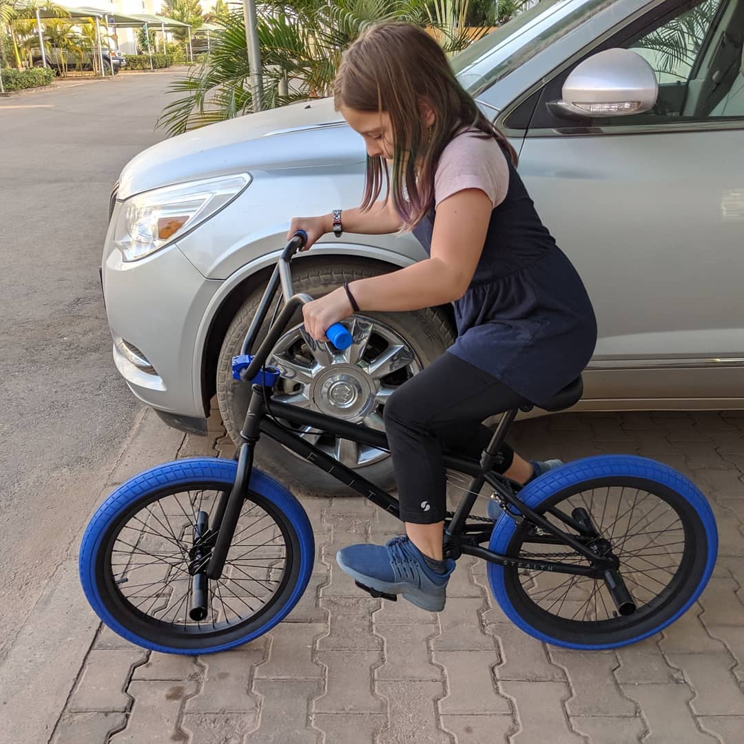
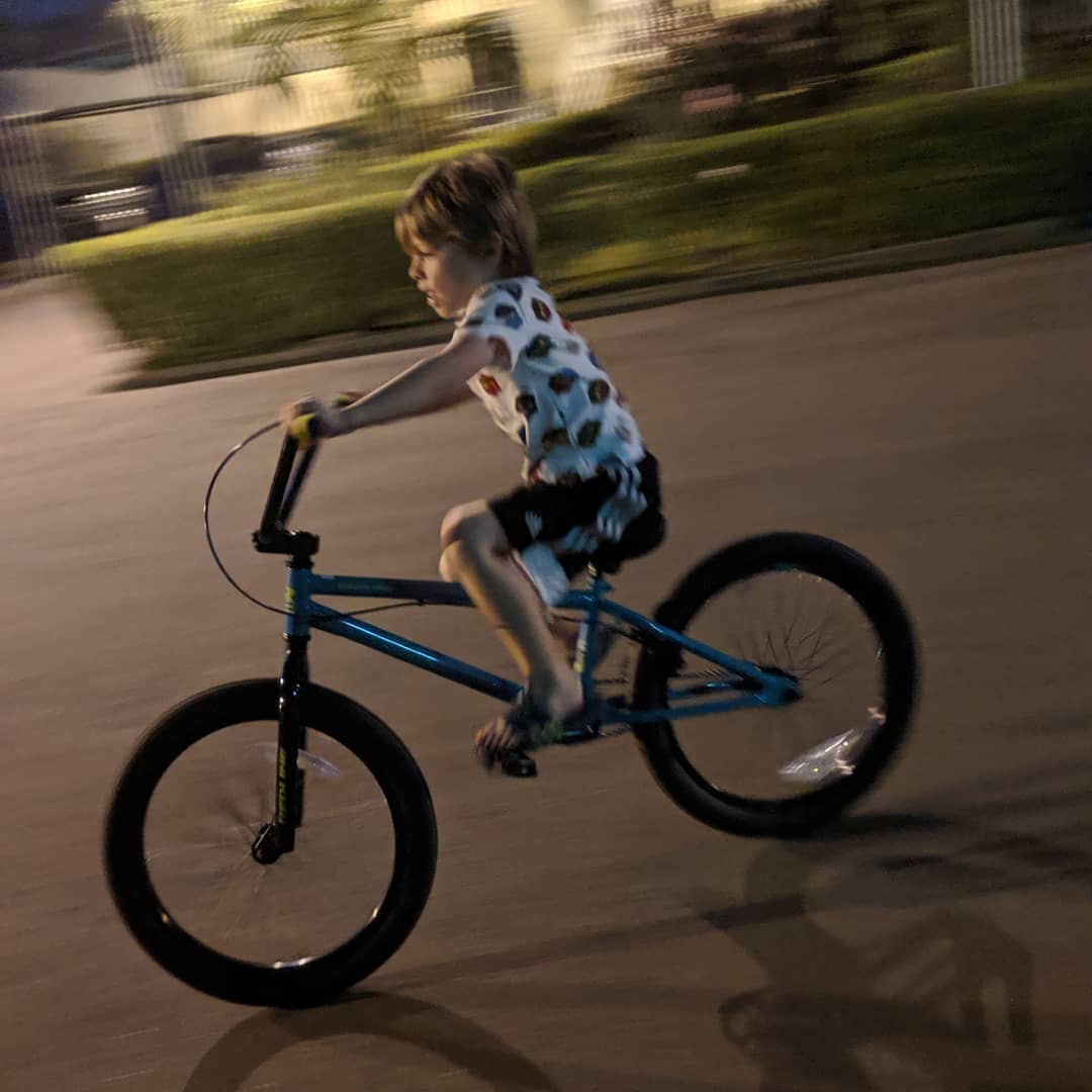
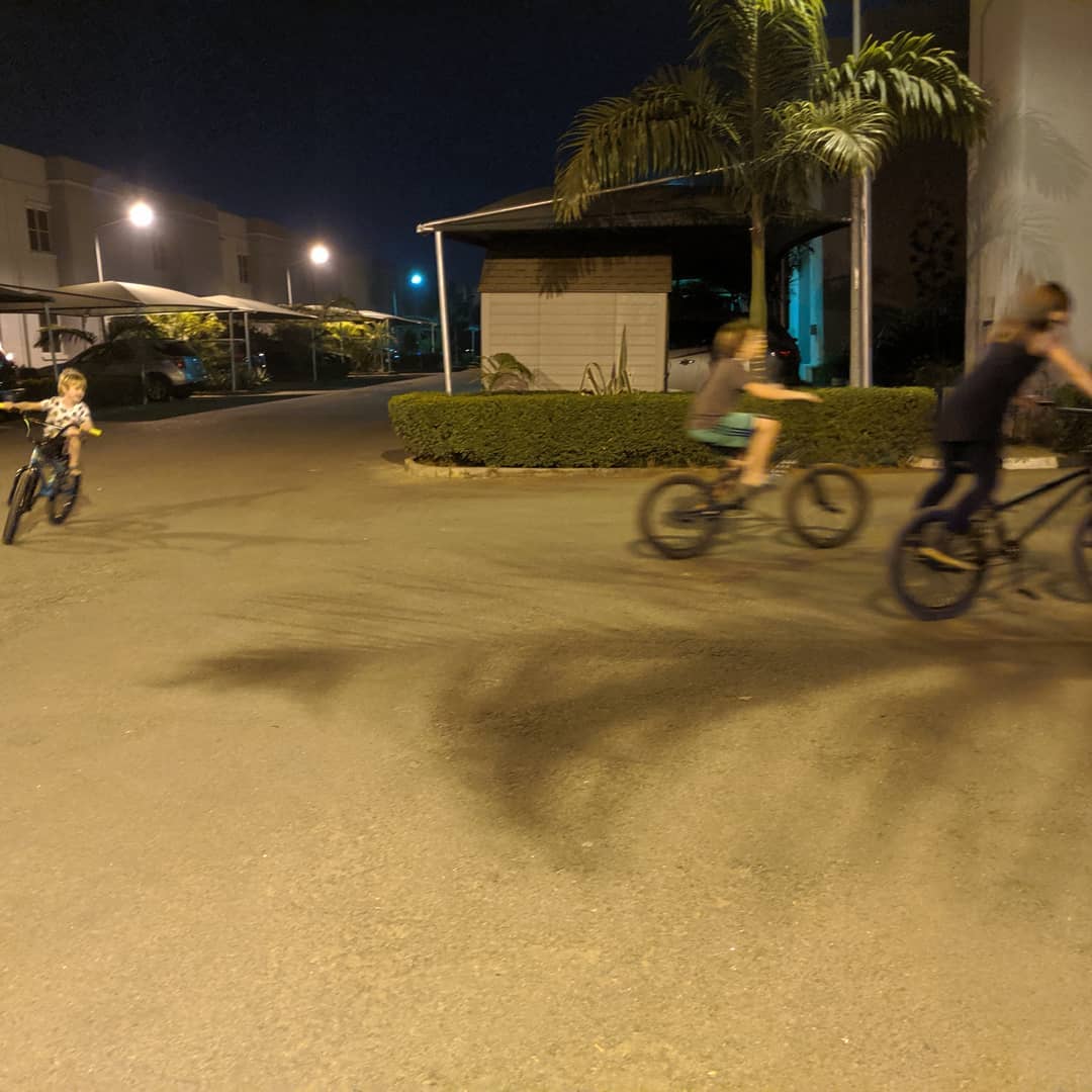
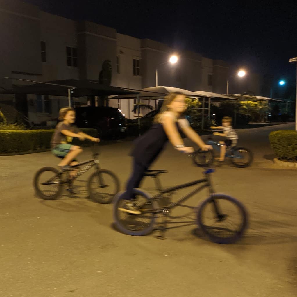
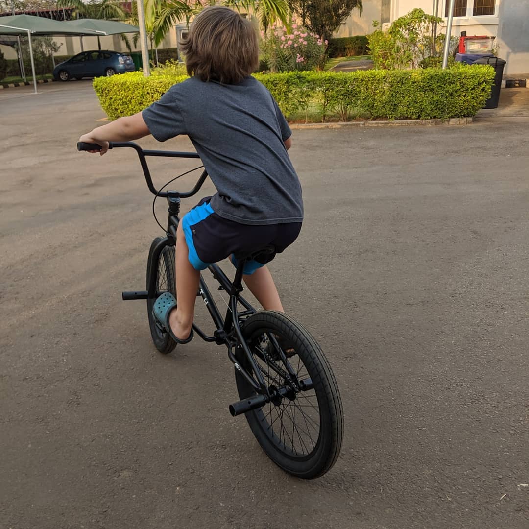
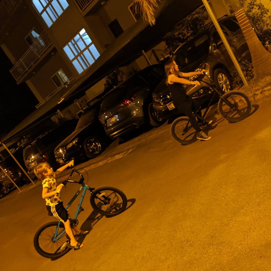
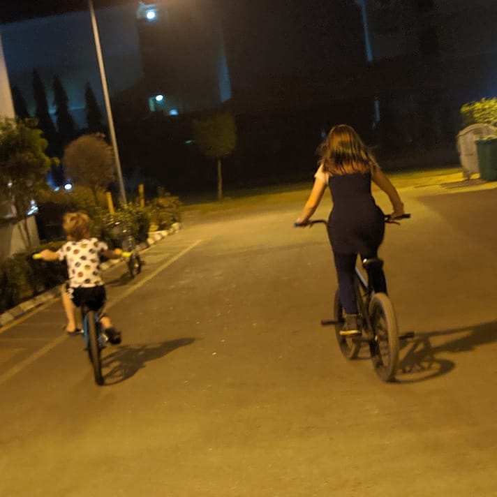
Amelie and Saul got their new bikes a week ago. Truman's arrived tonight. The pics from today aren't very good due to low light and too much movement, but the kids are having a lot of fun. @ Federal Capital Territory, Nigeria
📍 Federal Capital Territory, Nigeria · map
Headed to Delta State for our EWASH activity. Hope to have some good pics tomorrow.